
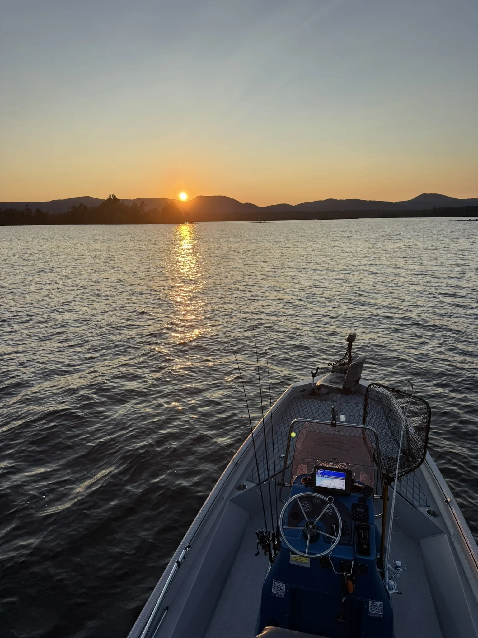
Great Sacandaga Lake
Trophy Northern Pike


Great Sacandaga Lake; the best trophy Pike fishery in the United States
Home to the 46 lb. 2 oz., 52.5” United States record Northern Pike, Great Sacandaga Lake is the best trophy Pike lake that I have found in the United States.
For years, I drove right by Sacandaga to fish other Adirondack lakes in pursuit of big Northern Pike. I traveled to remote lodges in Canada and fished my heart out, but I could never seem to break my personal best of 41”. I had heard the legends of Sacandaga. I knew about the world record Pike caught here in 1940. I heard about Danny King’s 52” Pike from the 2015 ice fishing tournament. And every year, I would see pictures of giant fish coming from this lake 42”, 44”, 46”, even 48” Northerns. Eventually, I decided I needed to fish it myself.
I came to Sacandaga with my musky tackle and a musky-fishing mindset, but I really had no clue where to start. About an hour and a half into fishing the lake, I was throwing a topwater bait when the water exploded. That fish ended up being a 46” Northern Pike, the biggest Pike of my life. From that point on, this lake and its Pike completely took me over.
The goal now is 50”. We've raised fish that I truly believe were in that class on a few occasions. We've landed dozens and dozens of 40” class Pike, including several big mid 40” fish. During the prime times of the year, we catch 40” Pike on an almost daily basis. I've also had countless clients tell me they've traveled all over the country fishing for Pike and nothing they've experienced compares to the trophy potential of Great Sacandaga Lake. There aren't many places in America where you can realistically cast for a 40” Northern Pike while knowing that a fish approaching 50” is swimming somewhere beneath you.
But I also want people to understand what this fishery really is. Great Sacandaga is NOT a high-population Pike lake. Unfortunately, there aren't a lot of them. You can fish for 12 hours and only encounter one giant Pike. Some days you might not encounter one at all. In a lot of ways, it's more like musky fishing than traditional Pike fishing. We don't troll for these fish and do not sharpshoot with livescope (though we do use livescope for finding structure). We cast. Thousands and thousands of casts. Big jerkbaits, glide baits, topwaters, rubber and other large presentations over and over again. It can be exhausting. But when a giant Pike finally follows your bait to the boat or explodes on it, there aren't many thrills in freshwater fishing that compare.
The best, and also the saddest, part about Sacandaga is that I still don't think people recognize just how special this trophy Pike fishery is. Many of these giant fish are still harvested. Catch and release for trophy Pike has never been a major part of the local fishing culture, and changing that mindset isn't going to happen overnight. But we're trying. Every giant Pike caught on our boat goes back into Great Sacandaga Lake. My hope is that more anglers will begin doing the same.
Great Sacandaga Lake is one of the most beautiful, mountainous, oasis lakes in Upstate New York and an absolute precious fishery and one that is close to my heat. Come join us, make a few thousand casts, and see if the next fish to come out of Sacandaga is the one you've been looking for your entire life. And whether you fish with us or not, I hope you'll support our catch-and-release efforts and help us protect these incredible fish. The world record Northern Pike once came from Great Sacandaga Lake. I'd love to see the day it comes home.
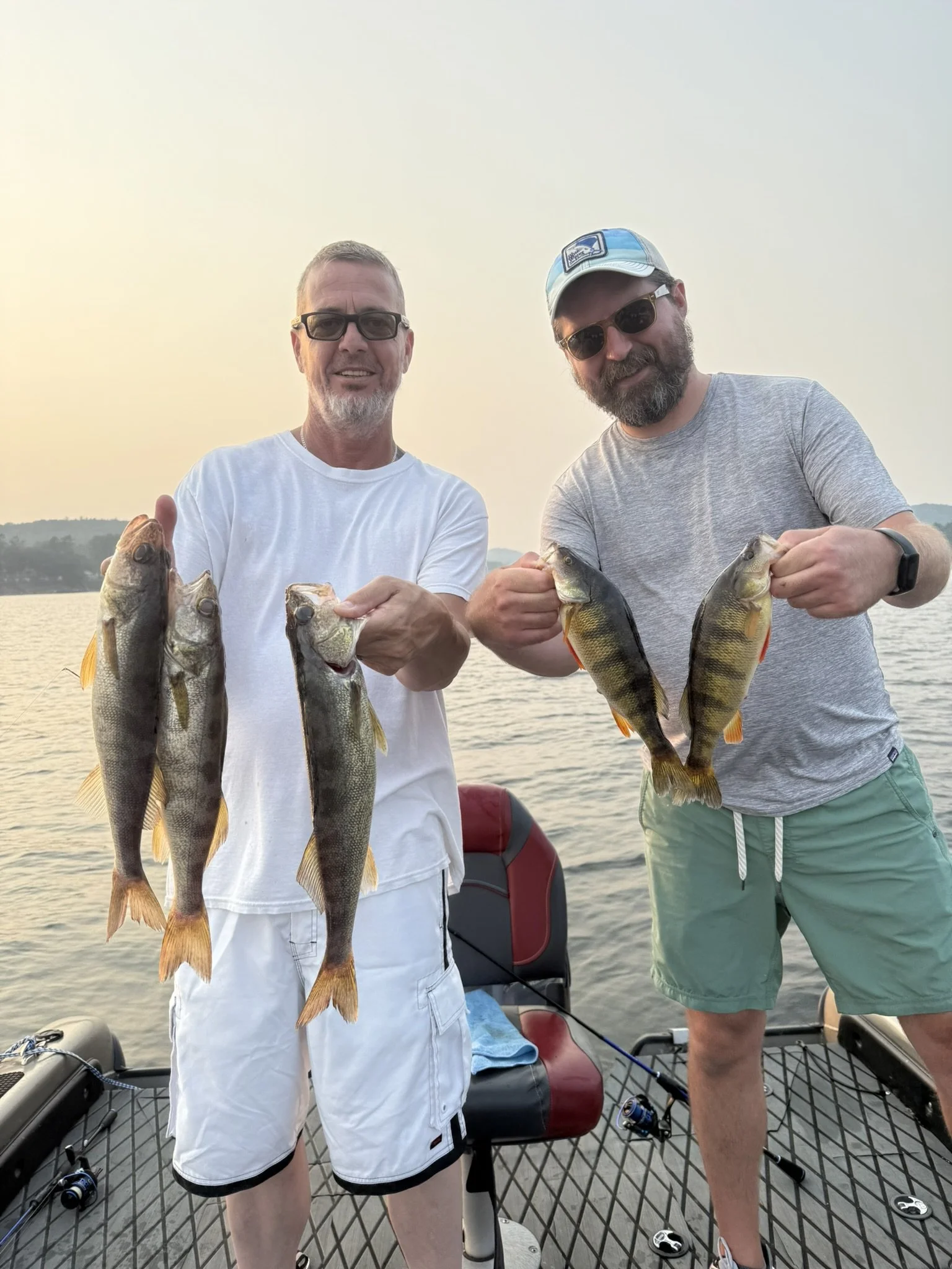
Multispecies Fishing on Great Sacandaga Lake
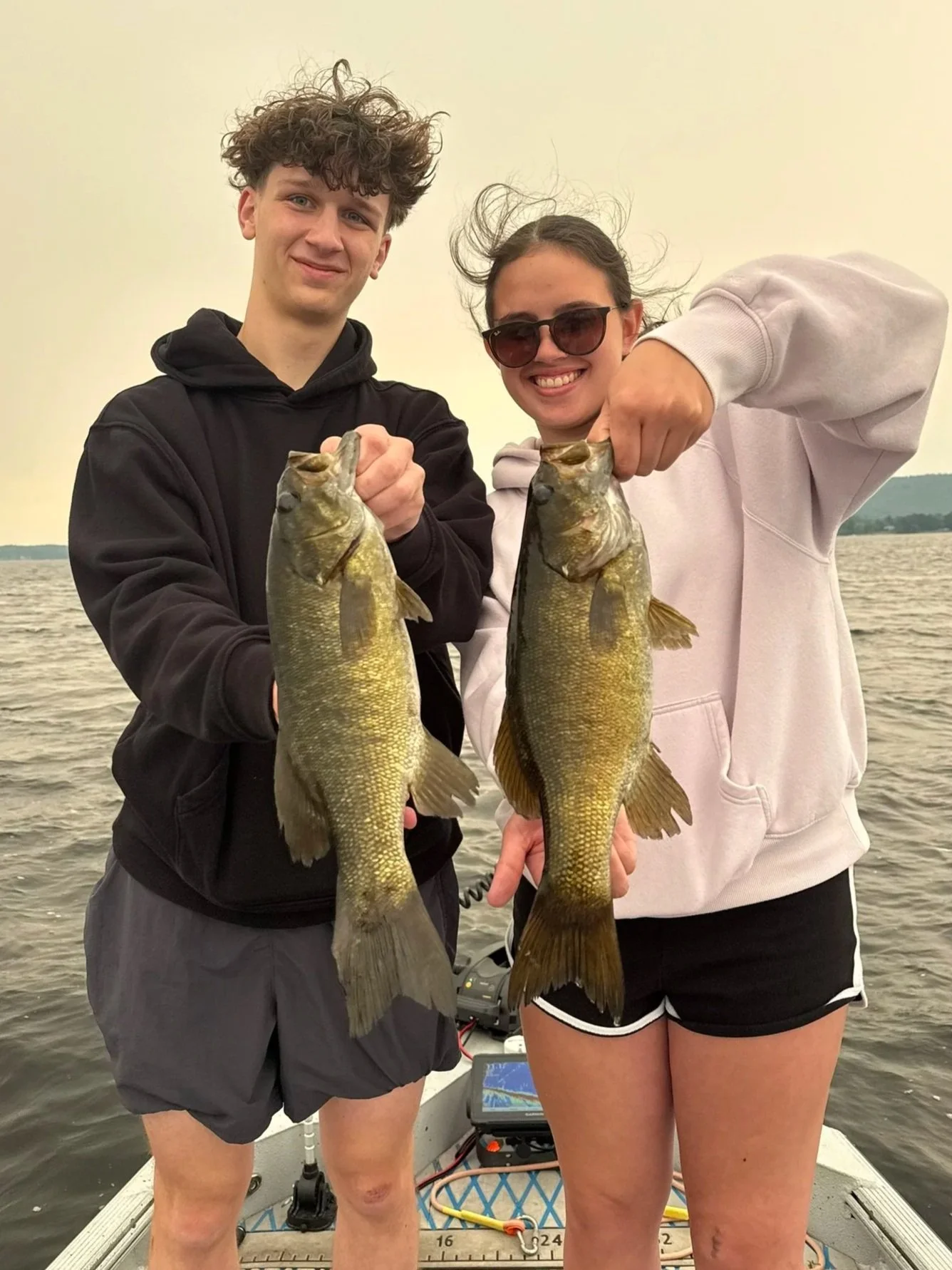
There are few lakes in the Adirondacks where you can go out and catch close to 50-100 fish in a day. Great Sacandaga Lake does that for us on an almost weekly basis.
While the average walleye size is relatively small, with a ton of 14” to 16” fish, the numbers of them can be mind-blowing. Thanks to an aggressive stocking program of around 6,000 fingerling walleye per year, Great Sacandaga Lake is an excellent place to catch your first walleye and, on the right day, catch a lot of them.The smallmouth bass fishing on Great Sacandaga Lake is equally impressive. Smallmouth populations are flourishing, and catching high numbers of them is common. The lake’s sandy and rocky structure provides excellent habitat for them to reproduce in high numbers.The overall size of the smallmouth is solid, with a ton of 17” to 19” fish. Their weight usually isn’t comparable to the football-shaped smallmouth you see on places like the St. Lawrence River or Lake Champlain, but I would still consider Great Sacandaga one of the best smallmouth fisheries in New York for numbers of quality fish.Catching giant Yellow Perch is also a common part of our trips. Sacandaga produces high numbers of very large perch, and 13” and 14” fish are not uncommon.
Not every species in the lake is thriving, though. Unfortunately, the largemouth bass fishery is nearly nonexistent. You will not typically catch one during a day of fishing, and we average about one largemouth per year. The sunfish, crappie and bluegill populations are also extremely low throughout most of the lake.There are a few small groups of giant crappie and bluegill that we have been able to find, and we're starting to see some encouraging signs. With the new fish crib program being launched throughout the lake, we have started seeing some numbers of young bluegill hatching, but they are still far from prevalent.
So if you're looking to spend a day catching high numbers of walleye, quality smallmouth bass, giant Yellow Perch and even rock bass, Great Sacandaga Lake is an incredible place to do it.You get to fish while surrounded by some of the most beautiful mountains in the Adirondack Park of New York, and outside of a few busy summer weekends, boat traffic is surprisingly light for a lake this size.Come fish beautiful Great Sacandaga Lake with us and experience one of the most underrated multispecies fisheries in the Adirondacks.
Great Sacandaga Lake; the highest populations of Walleye & Smallmouth in the state.
Great Sacandaga Lake: A reservoir with a rich history.
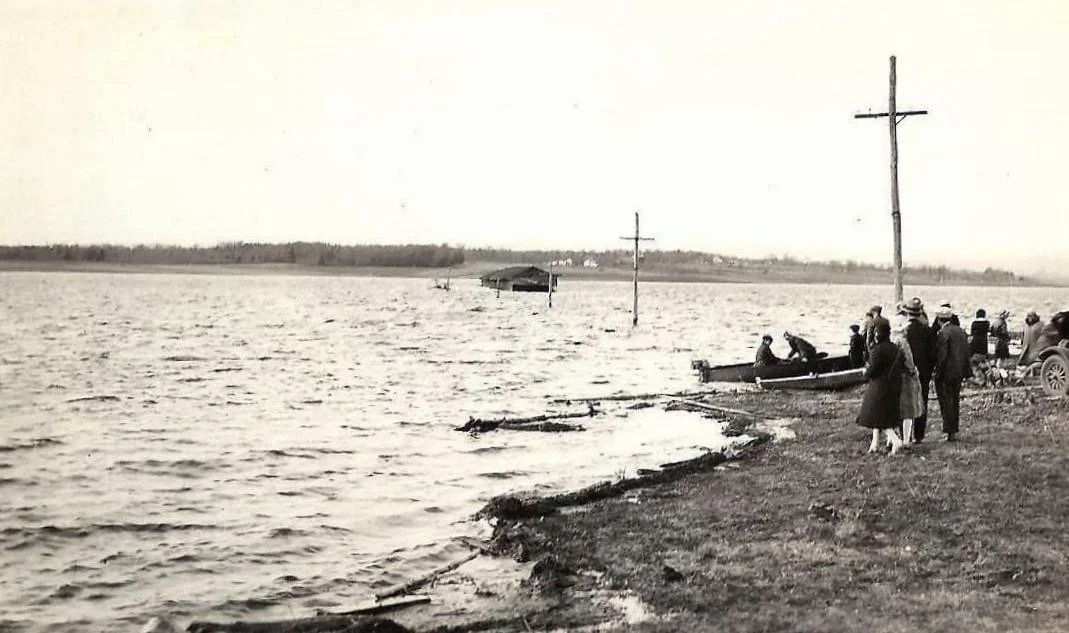
Created in 1930 by the construction of the Conklingville Dam, this vast, 29-mile-long reservoir holds an incredible amount of history beneath its waters.
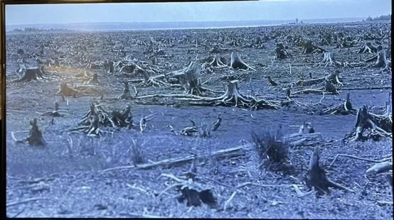
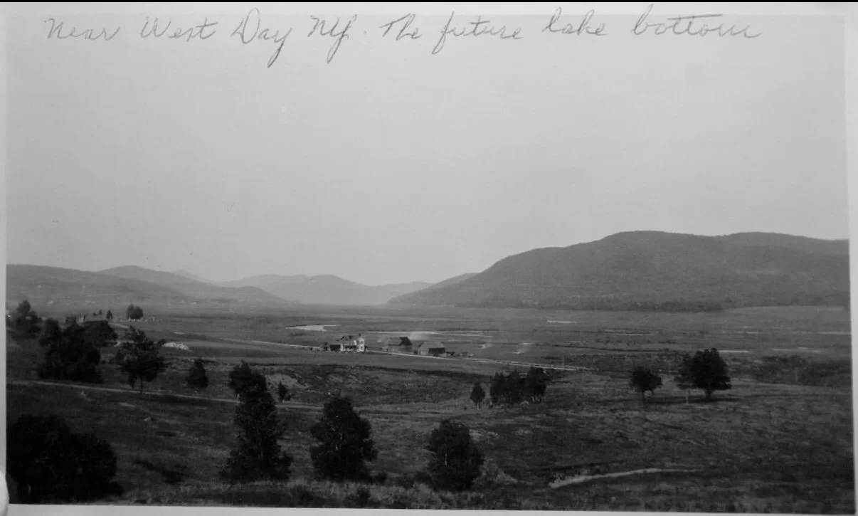
The flooding of the Sacandaga Valley required the relocation of nearly 3,000 graves, the demolition of 11 small towns and hamlets, the burning or removal of homes and bridges, and the clearing of thousands of acres of trees. The history of what once stood in this valley is seemingly endless.Contrary to many popular misconceptions, there are no intact homes, standing trees, or amusement parks remaining beneath the lake. Instead, the bottom holds remnants of the past, including stone foundations, thousands of tree stumps, old iron bridges, roadbeds, and former river channels.Much of the lake bottom consists of vast stretches of submerged farmland, with relatively few natural features or structures for fish to use as habitat.
Aaron's Guide Service has spent thousands of hours scanning the lake bottom with sonar, exploring the locations of former homes, roads, rivers, and bridges. Through this extensive exploration, we've gained a unique perspective on what remains beneath the surface of Great Sacandaga Lake.
Below, you'll find a collection of historic photographs showing the Sacandaga Valley before the reservoir was created. Enjoy a glimpse into the fascinating history of Great Sacandaga Lake and the valley that existed long before its waters covered the land.
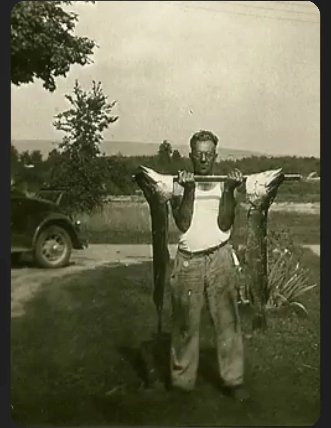
Peter Dubuc, the man who caught the famous world record Pike in 1940 is seen here in the 1940s holding up his big catches for the day.
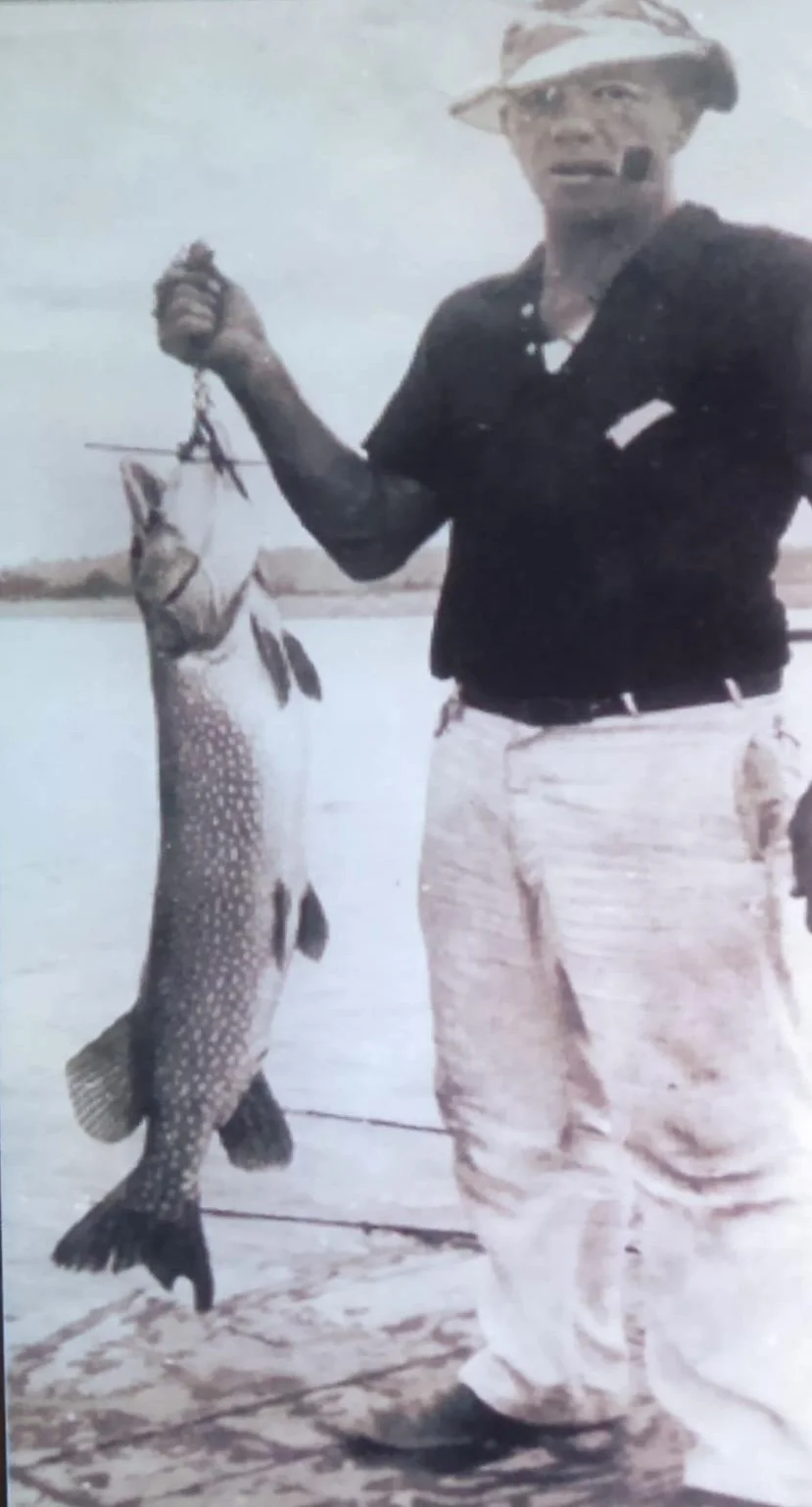
Dubuc holding one of his big pike.
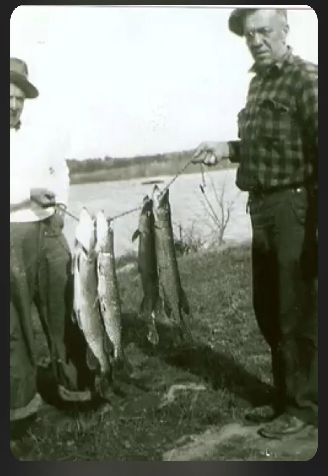
Peter Dubuc holding up his catch of Northerns in the 1950s on Great Sacandaga Lake
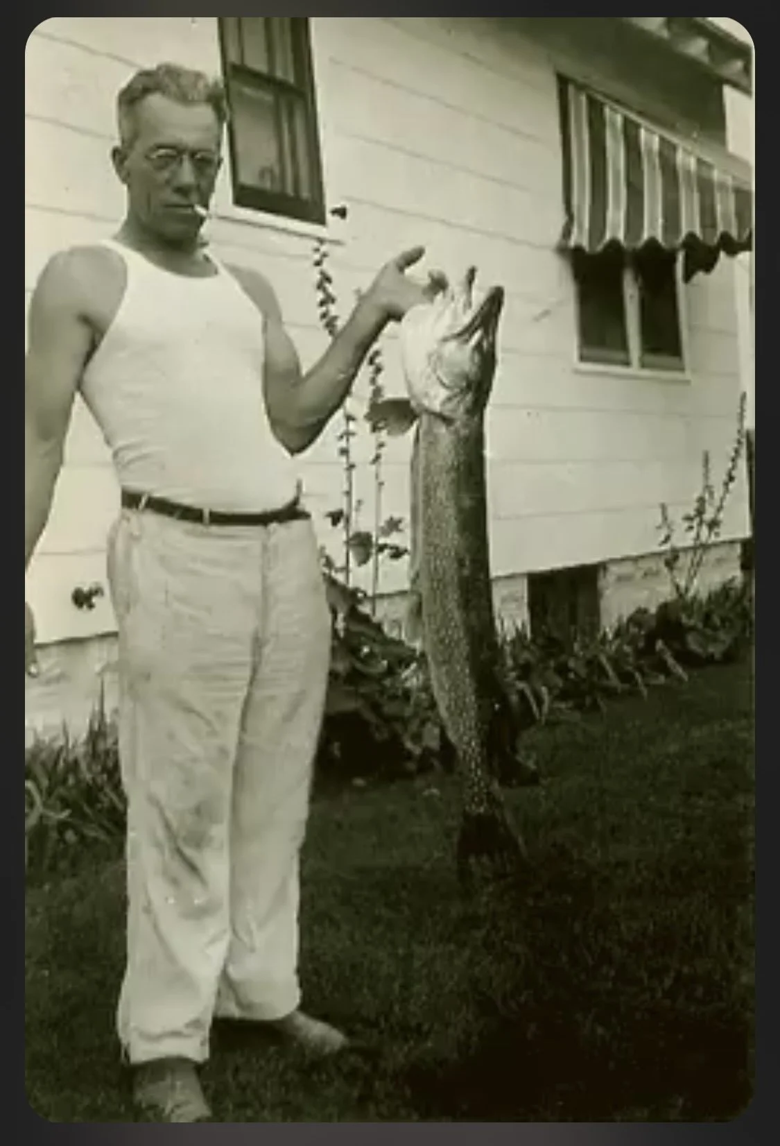
Dubuc in the 1950s with his Sacandaga Catch of the day.
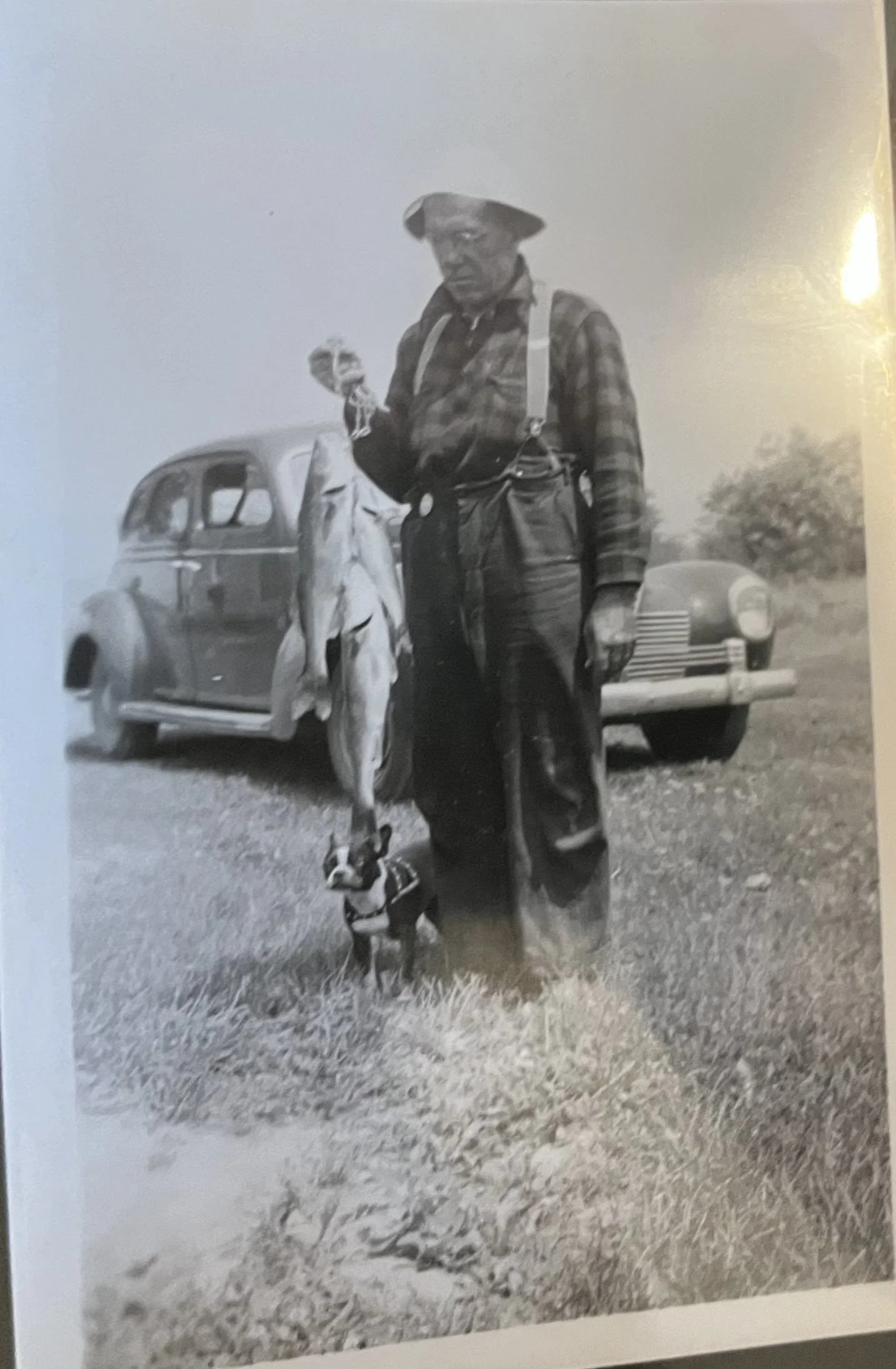
Dubuc in the 1960s with days catch on Great Sacandaga.
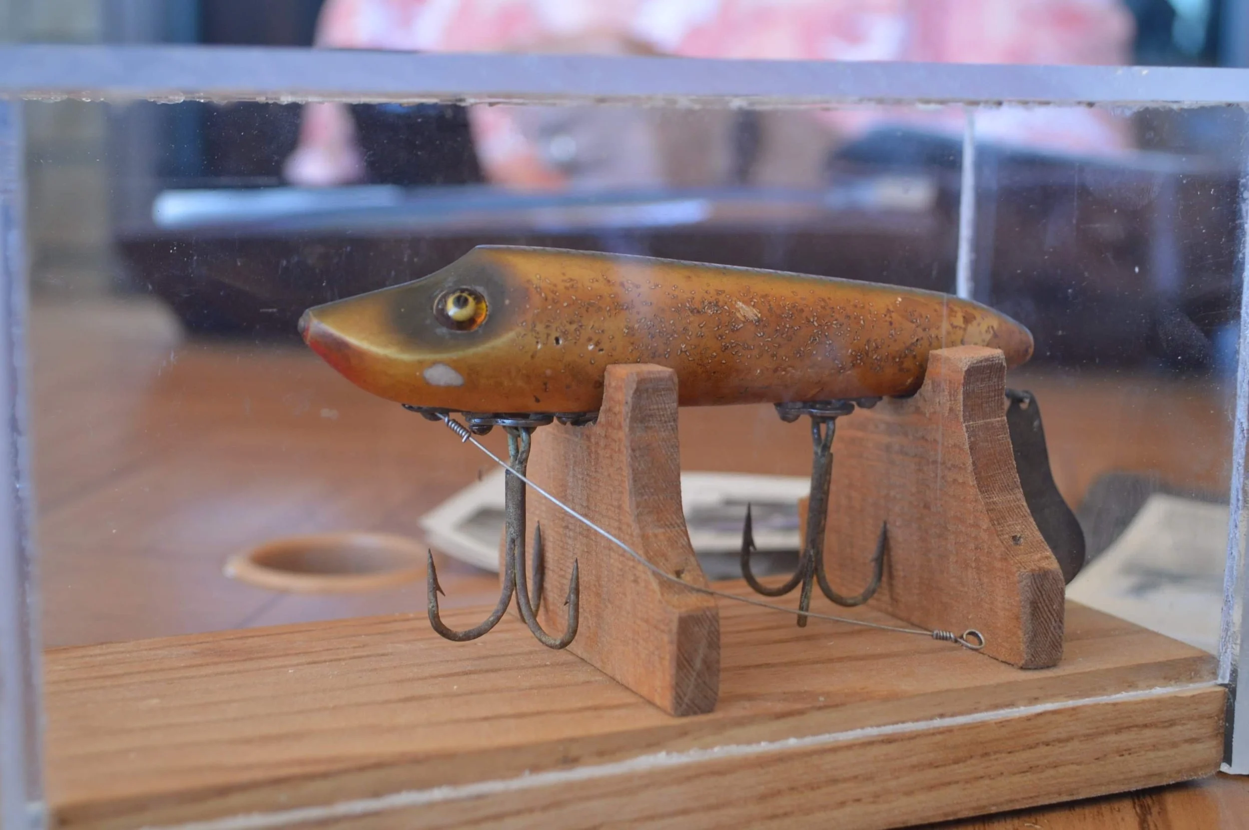
The Lure that Dubuc caught his Sacandaga Record Pike. It was a Heddon Flaptail Minnow Bait.
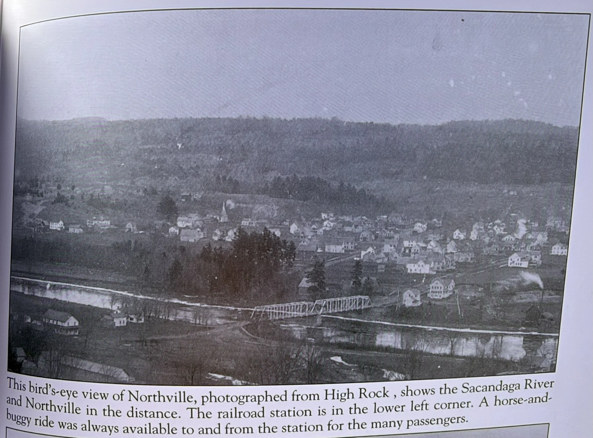
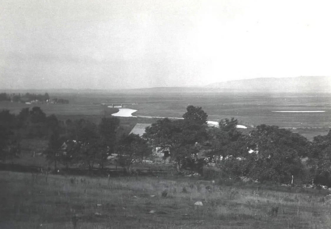
The view from High Rock Road due west of Northville overlooking the original Northville Bridge and town of Northville before the reservoir was created

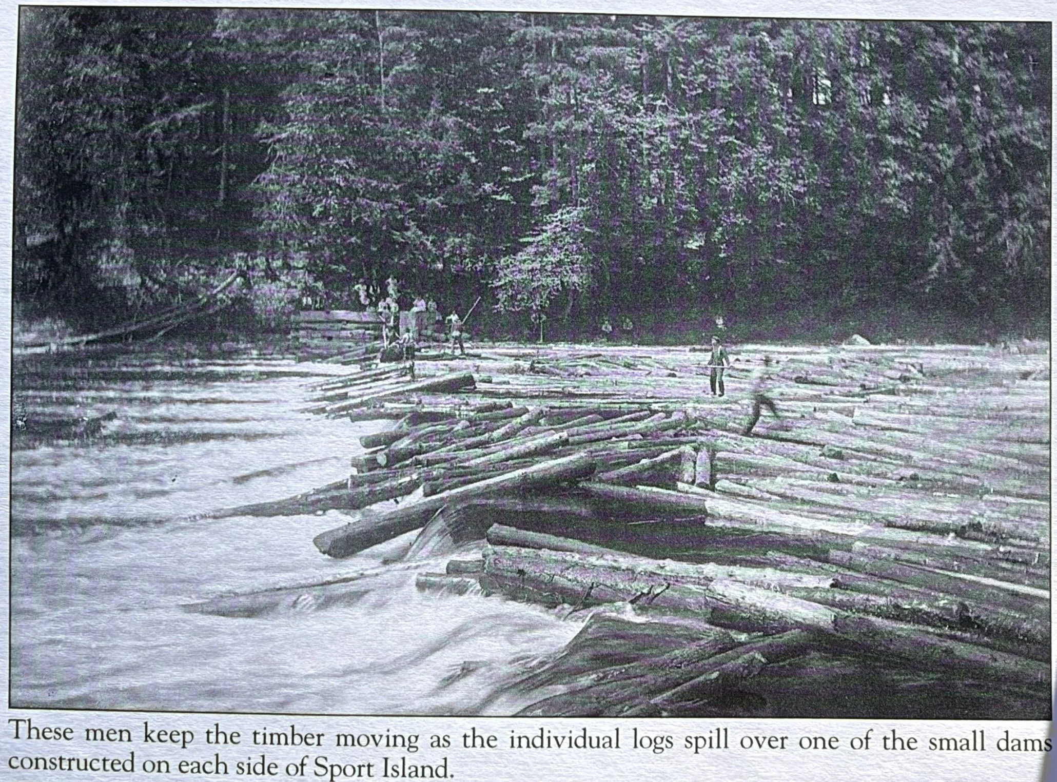
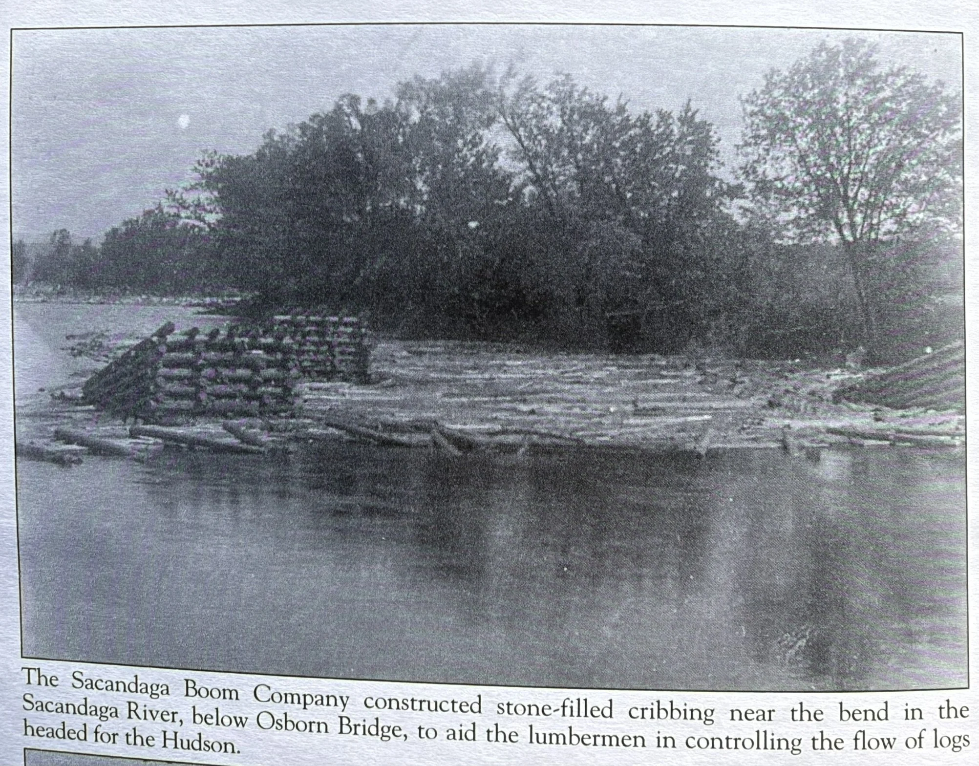
The original Northville Bridge looking north. The Sacandaga river was heavily used for logging throughout the 1800s. Every spring the logs would come down the Sacandaga and end up in the Hudson River.
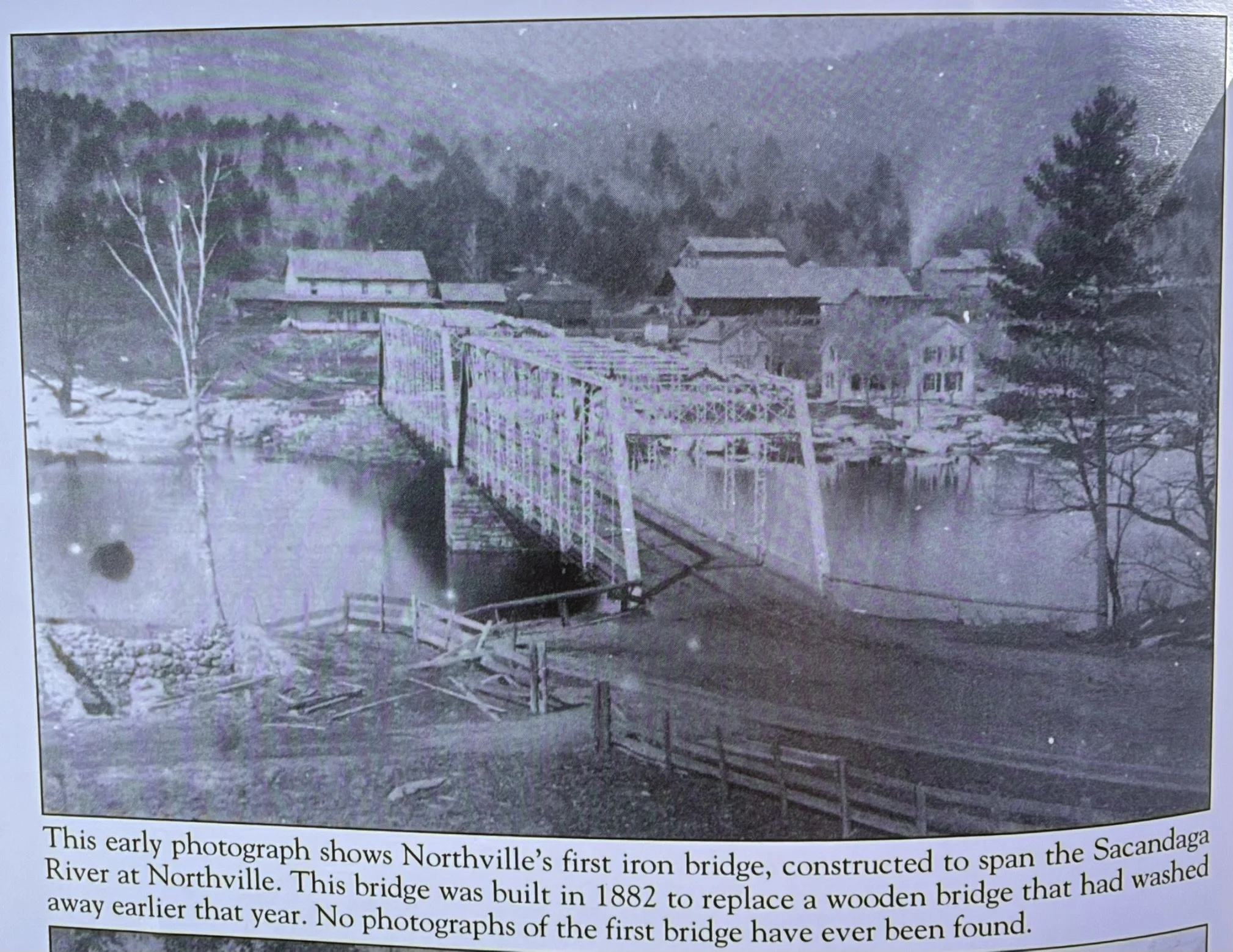
The Northville bridge before the reservoir was created
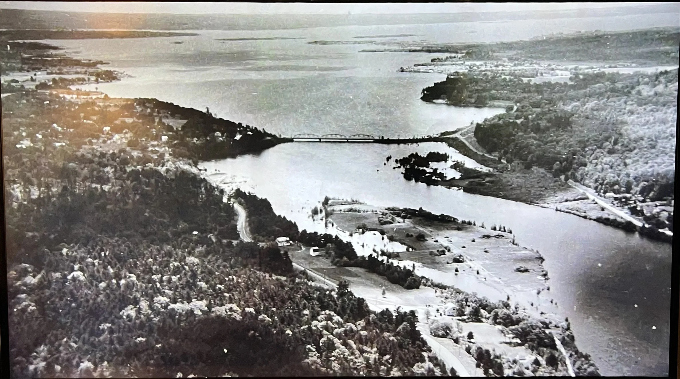
This was taken just after the reservoir was created. Looking south you can see the Northville Bridge. The boat launch would've been on the right side of the picture but not built till the 1980s
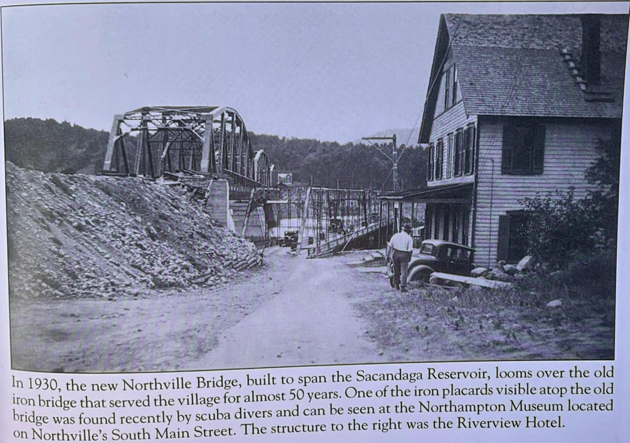
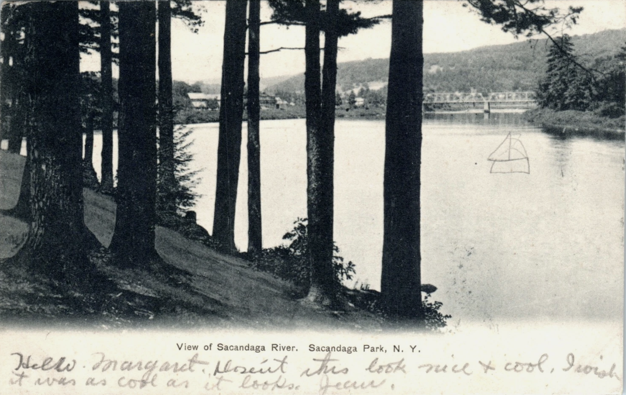
Pictured south of the Northville Bridge looking north at the Northville Bridge before the reservoir was created.
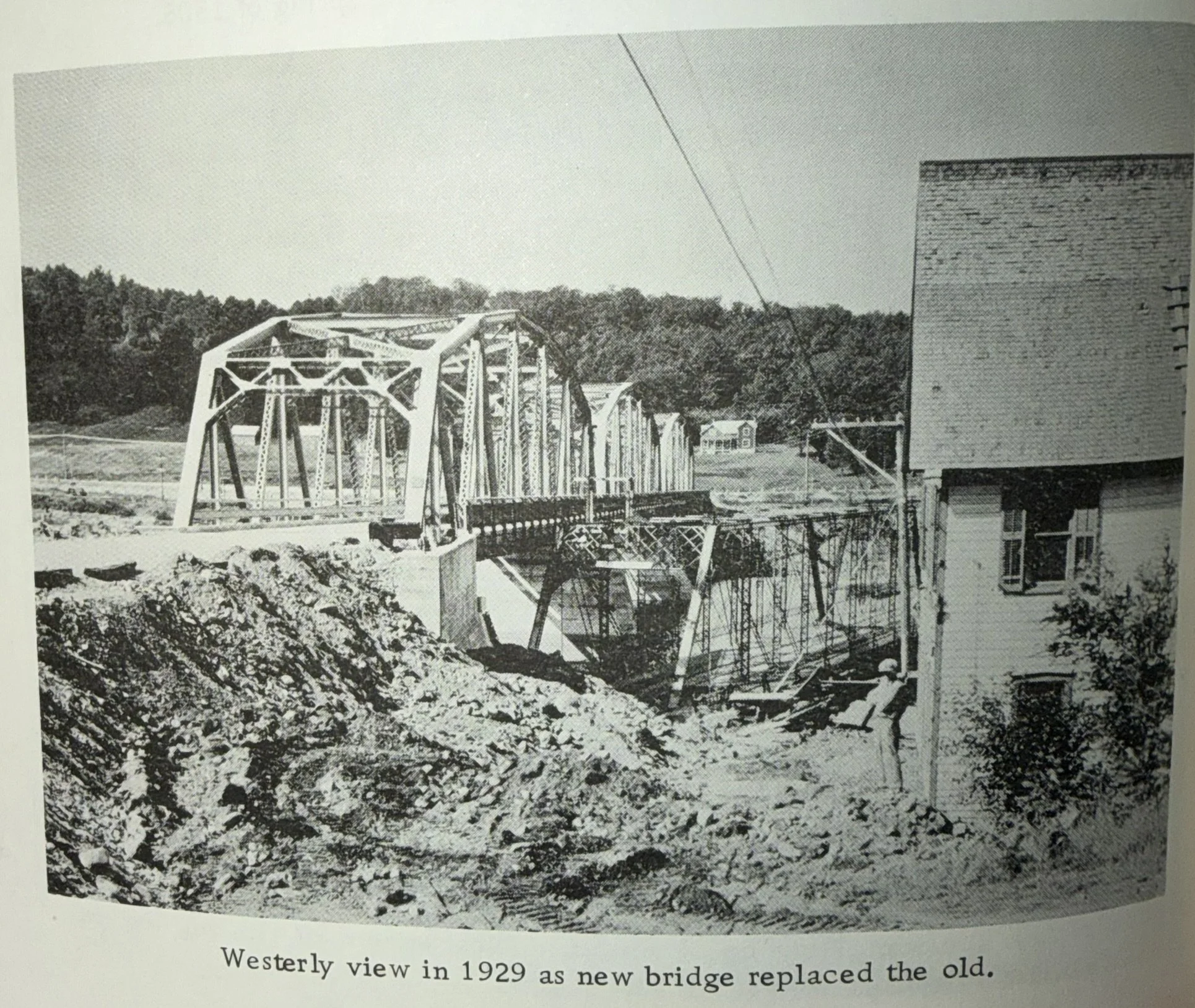
The view from the west side of the new Northville bridge and old bridge photographed.
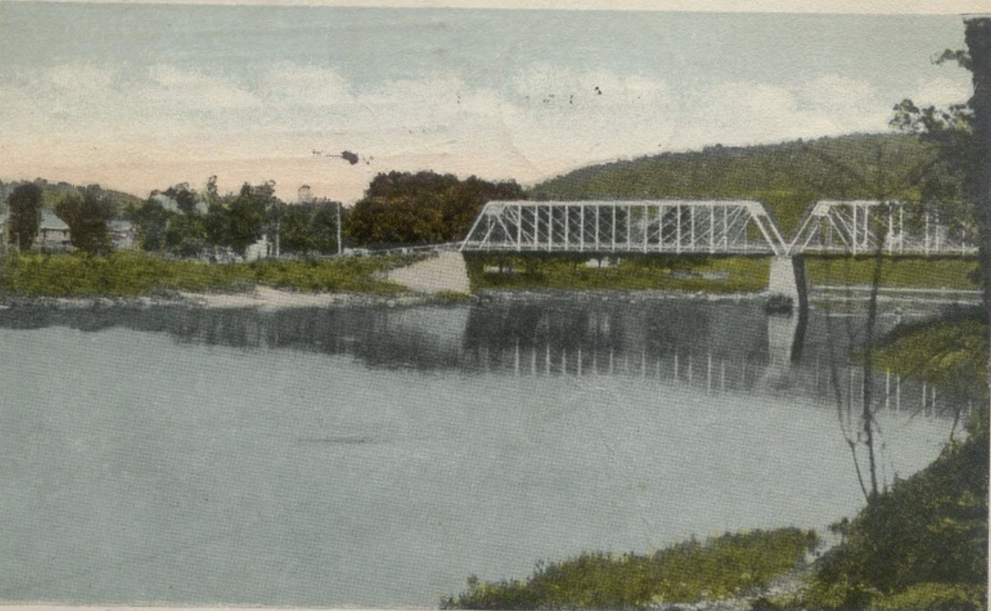
The Northville Bridge looking north before the reservoir was created.
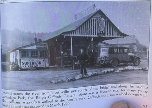
Giffords store was located just north of Sport Island Pub and just south of the Northville Bridge
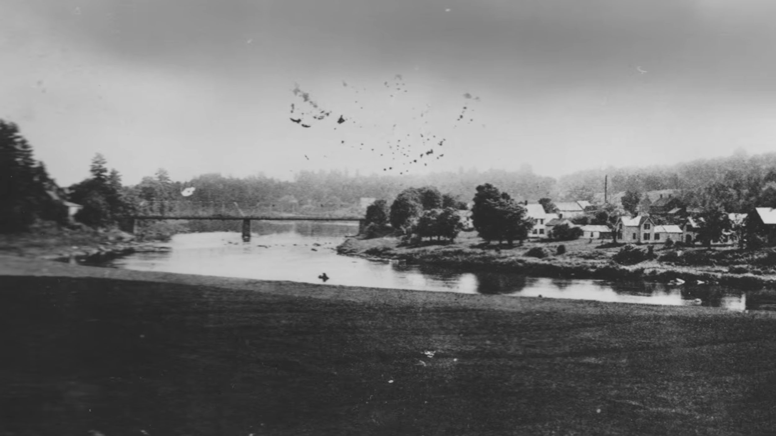
The original Northville Bridge taken facing south before the reservoir was made. This was photographed across from the Northville Boat Launch. Parkville can be seen on the right hand side.
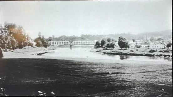
The original Northville Bridge taken facing south before the reservoir was made. This was photographed across from the Northville Boat Launch. Parkville can be seen on the right hand side.
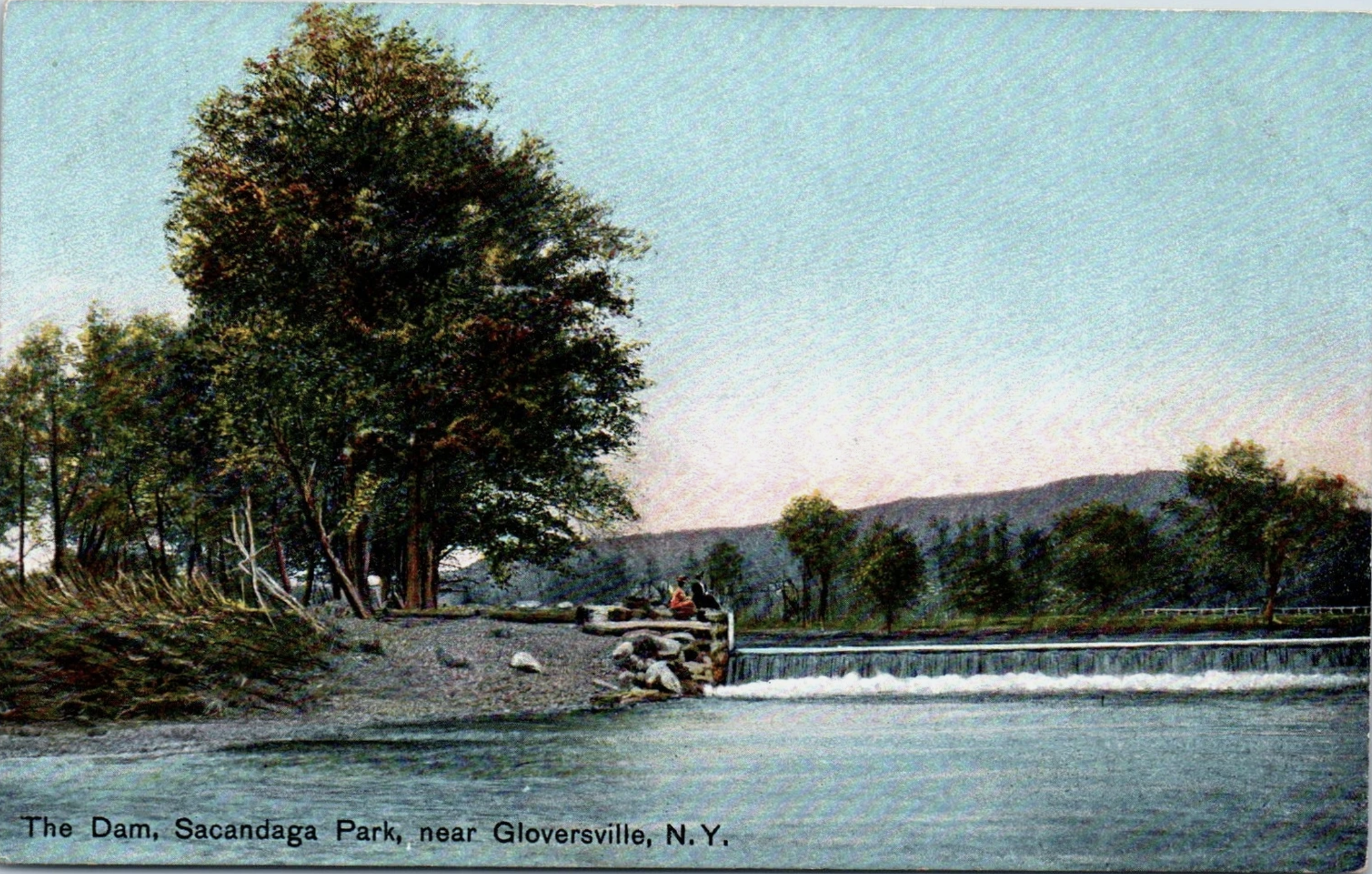
The Dam at Sacandaga Park just south of the present Sport Island Pub.
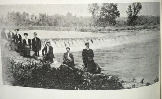
This was the famous spillway dam created along the Sacandaga River. This was located just south of Sport Island pub just east of the Northville Condos. It was demolished when the reservoir was created and is not present in the bottom of the lake.
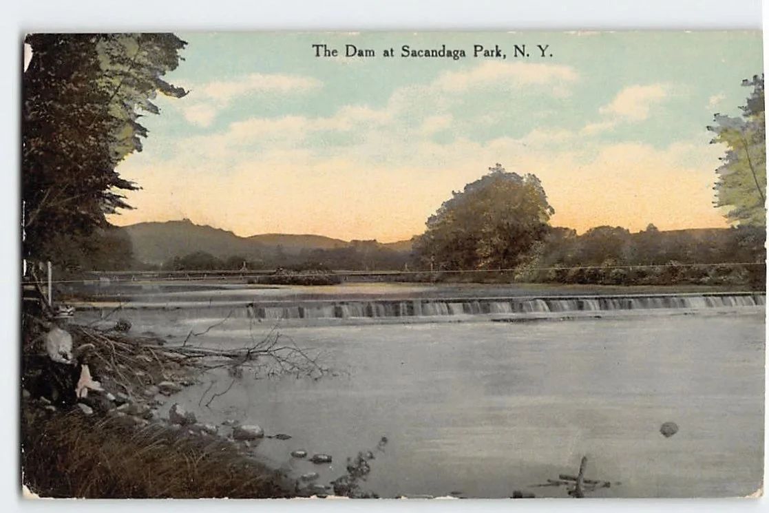
This was the famous spillway dam created along the Sacandaga River. This was located just south of Sport Island pub just east of the Northville Condos. It was demolished when the reservoir was created and is not present in the bottom of the lake.
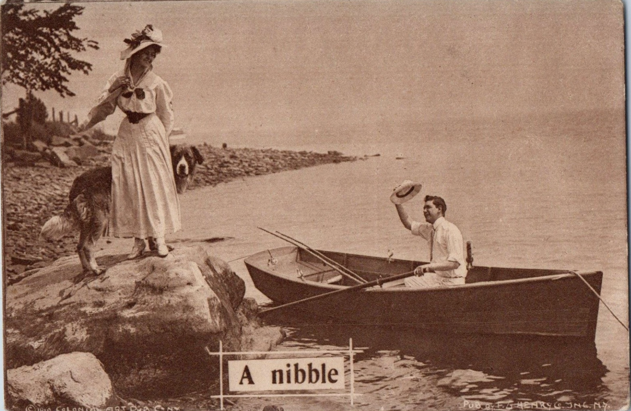
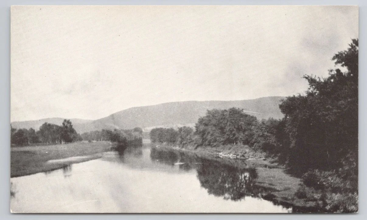
1906, paddling along the Sacandaga River prior to the reservoir being made.
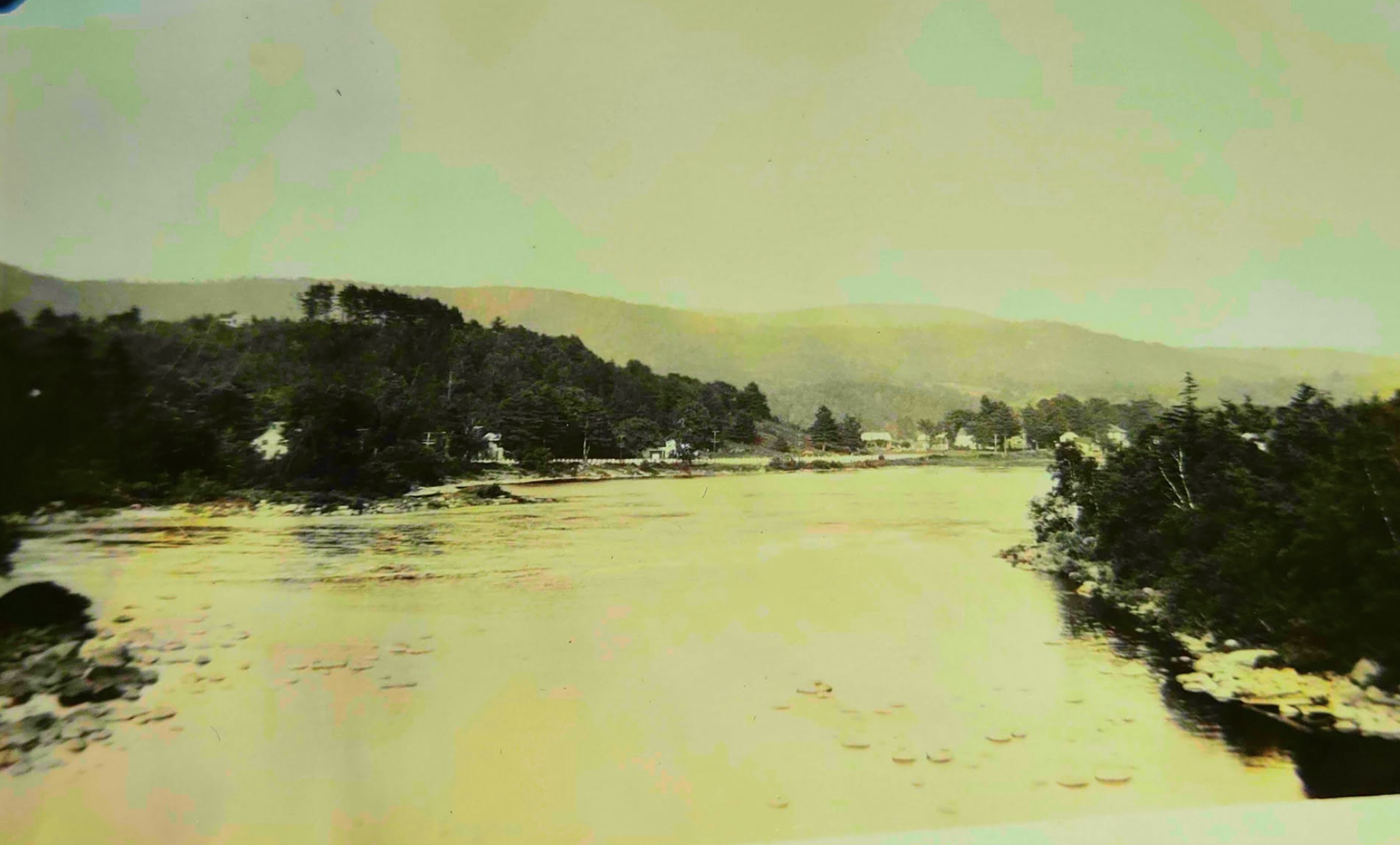
Taken most likely from the Northville Brdige or from a house from Parkville, looking due north with rt30 on the left.
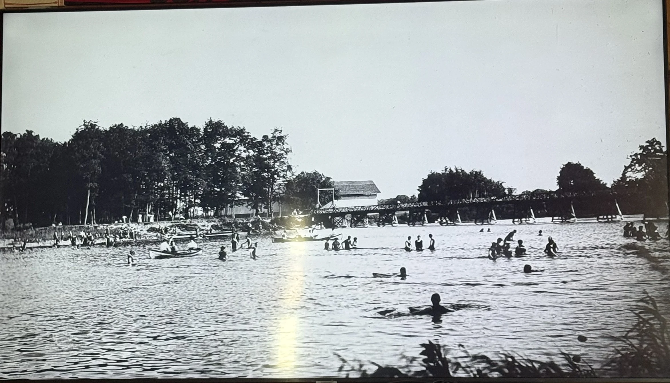
The bridge at Sport Island
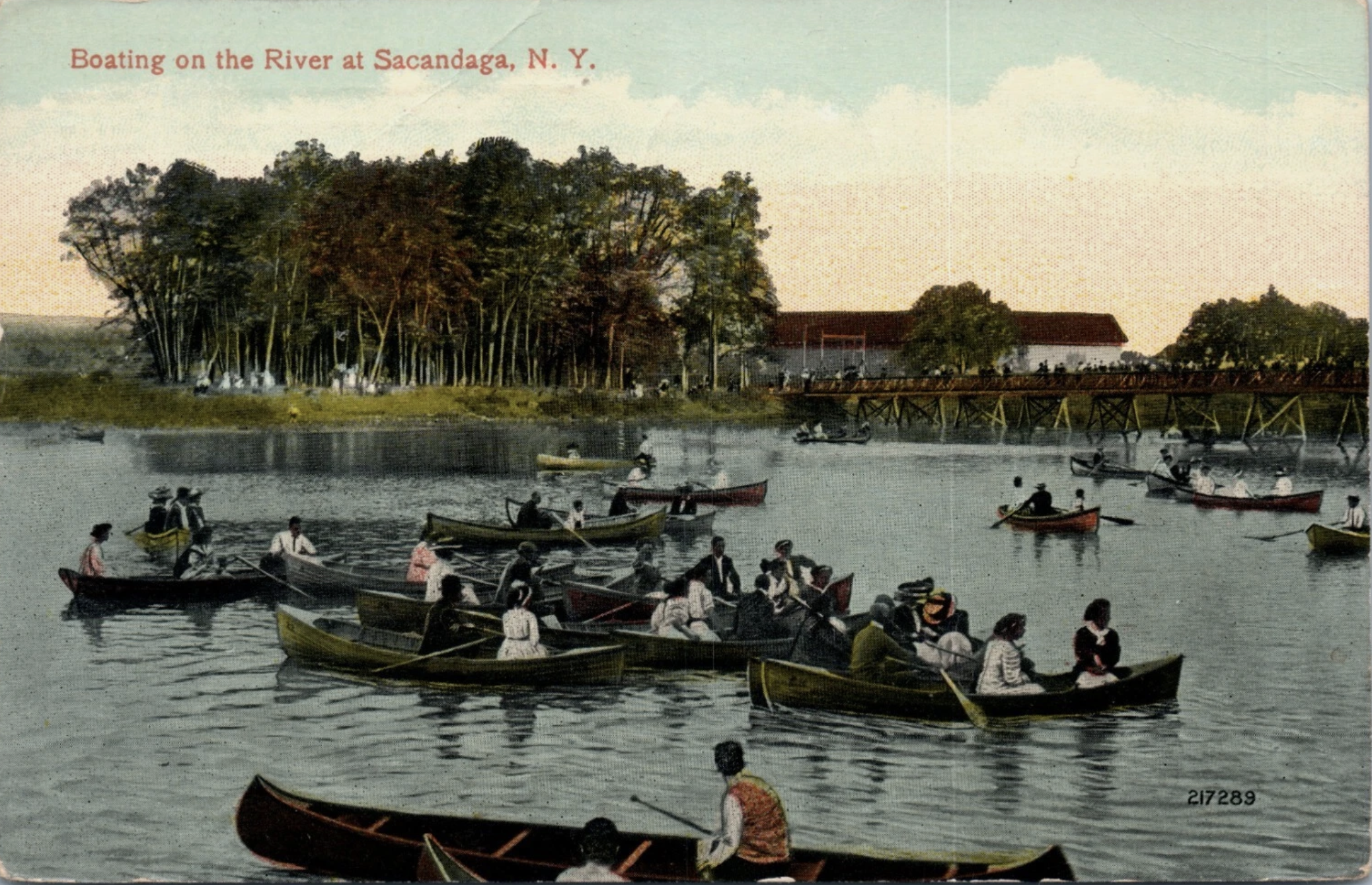
boating on the sacandaga river 1913. Pictured from the present Sport Island Pub Beach.
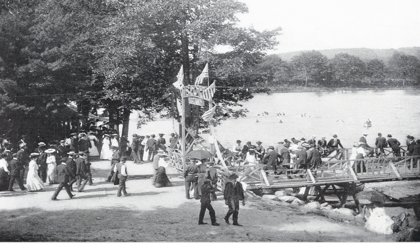
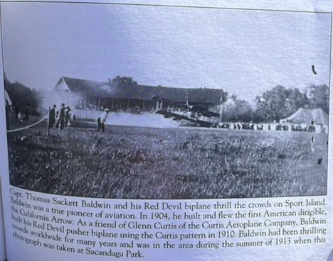
AT THE SACANDAGA RIVER Summer watersports - boating, water slides, fishing - in the Sacandaga River was a big attraction. A bridge and miniature railroad took people across to the ballpark on Sport Island.
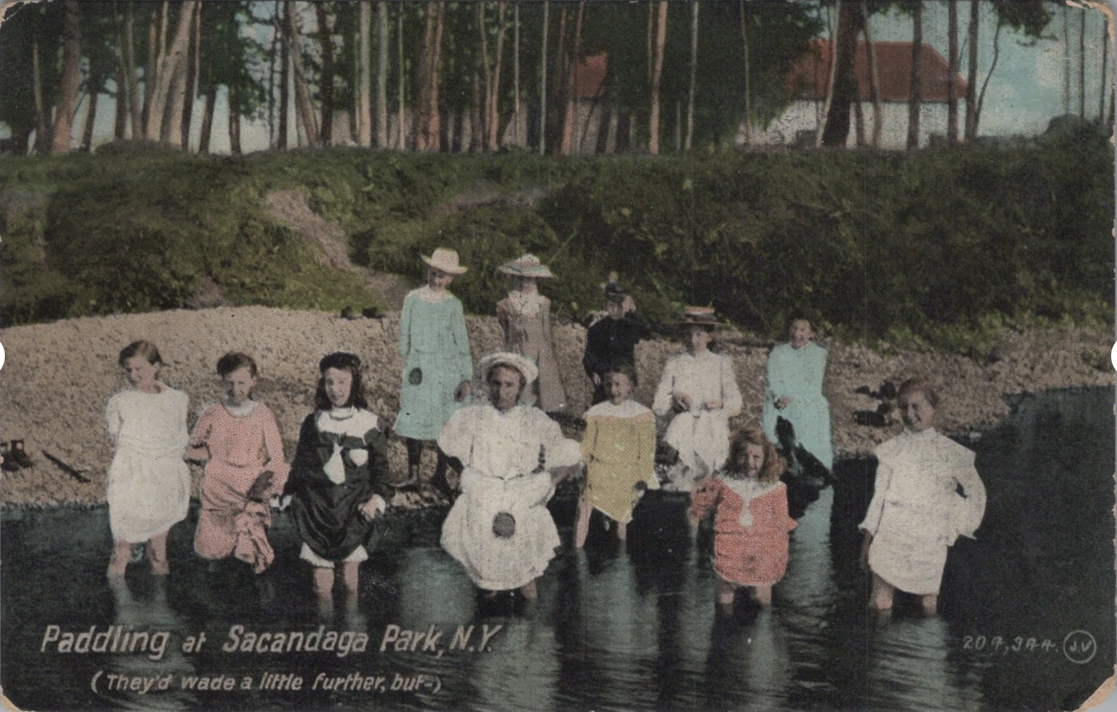
Guests waiting for their Boat Rentals. The current Sport Island Pub would be in the background.
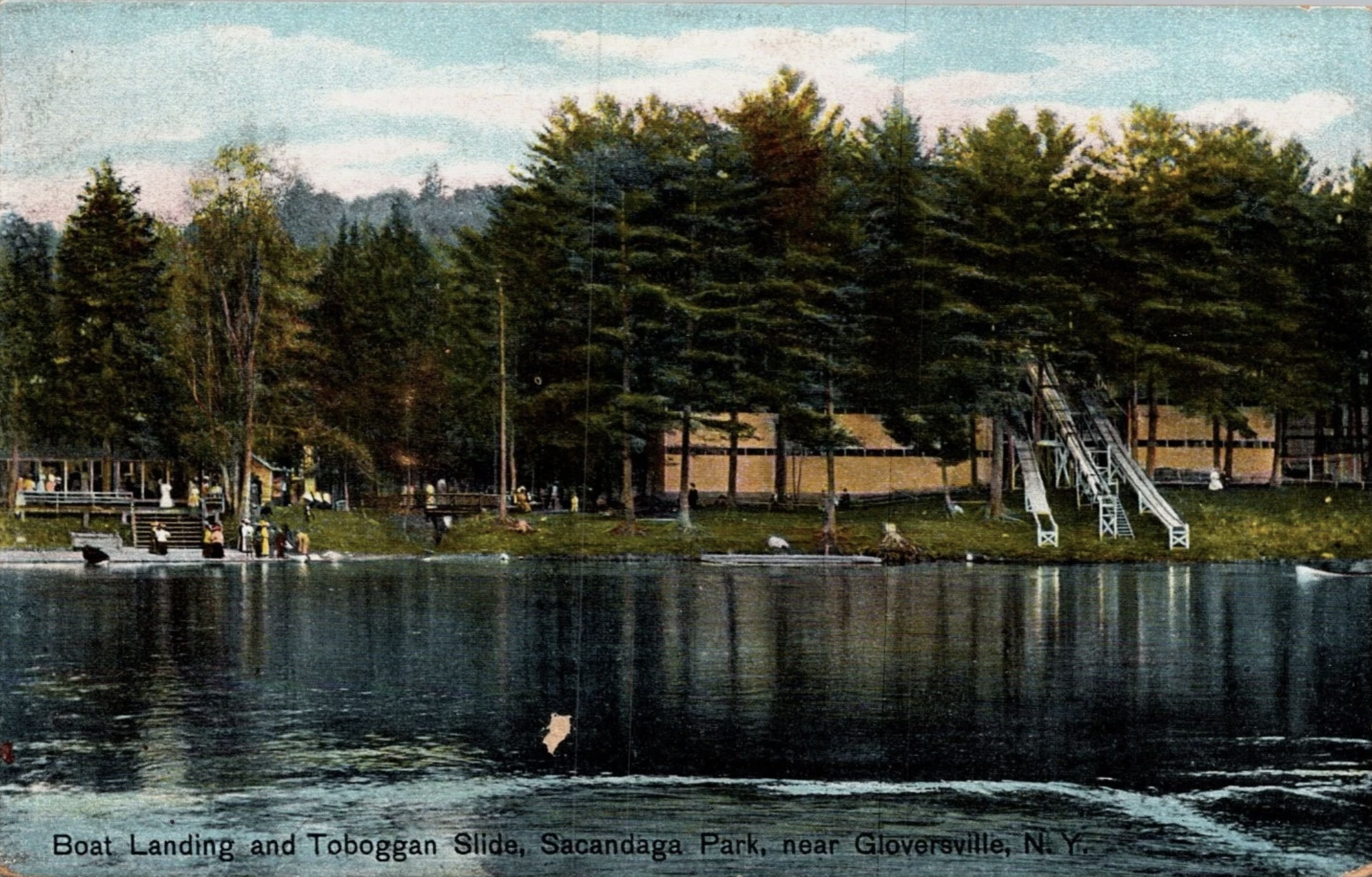
Boat landing at Sacandaga Park. The present new condos are located at the top of this hill. The slide was demolished at the creation of the reservoir.
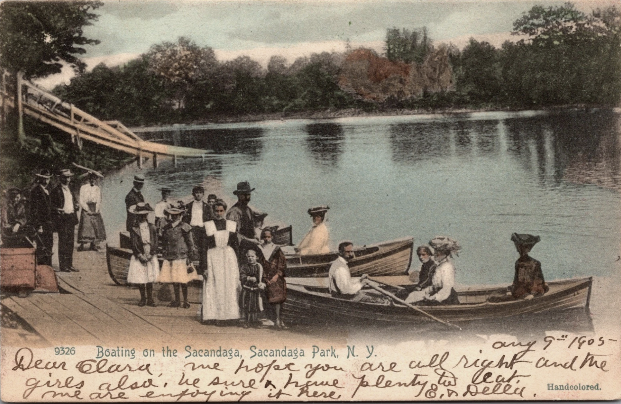
Pictured just south of the present Sport Island pub, where the new condos are located. Boat rentals were common on the Sacandaga river before the reservoir was created. The famous Sacandaga Park slide is pictured in the back.
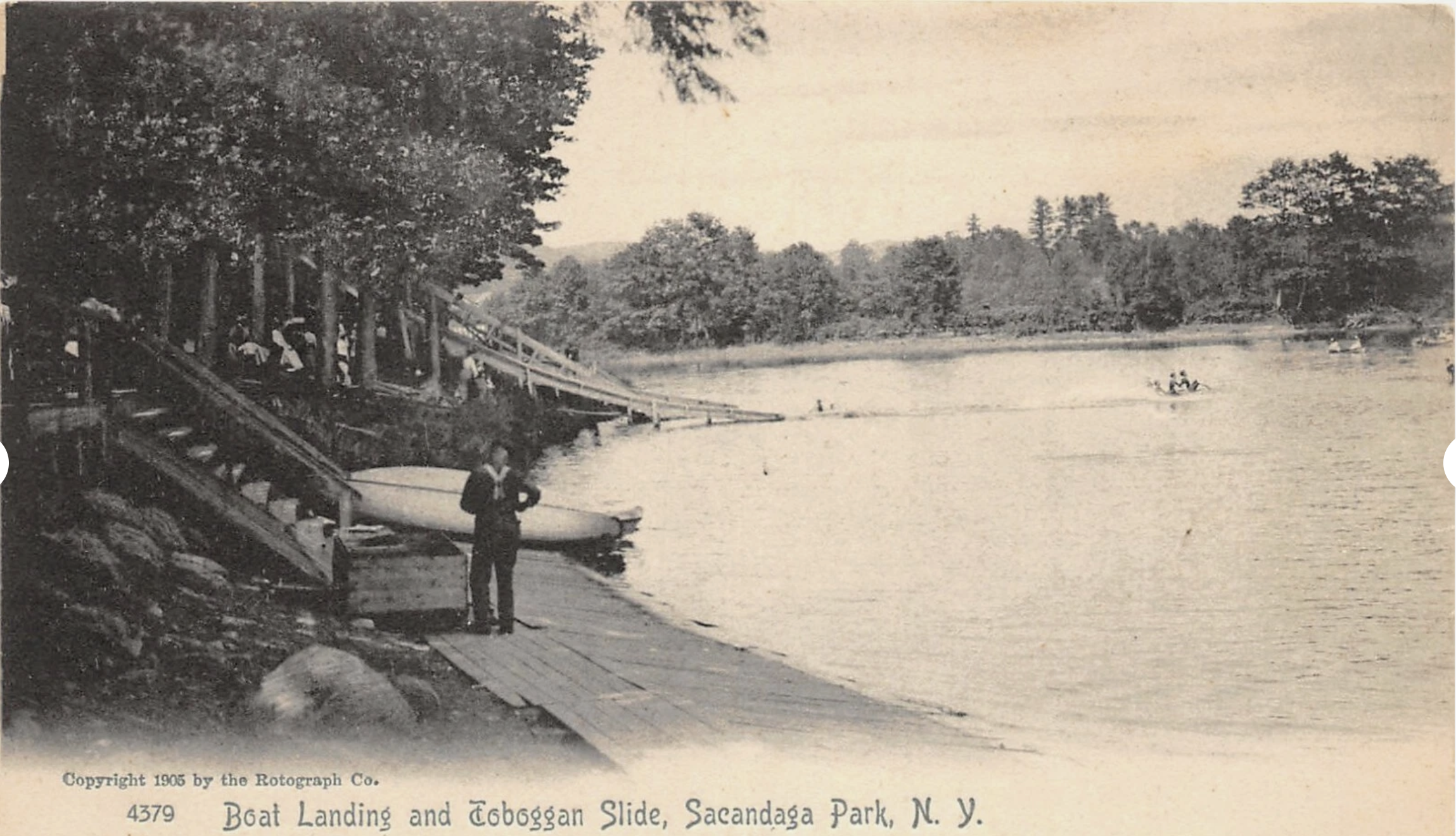
The Boat landing at Sacandaga Park just south of the current Sport Island Pub.
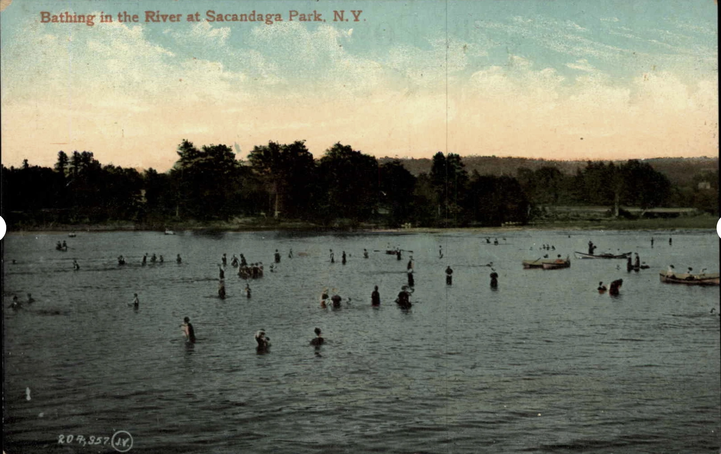
Pictured from the current Sport Island Pub beach, bathing and swimming was common in the Sacandaga River before the reservoir was created.
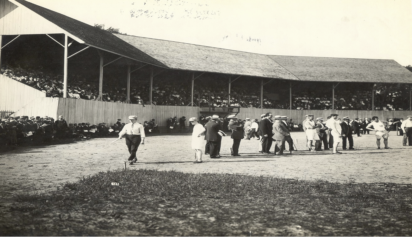
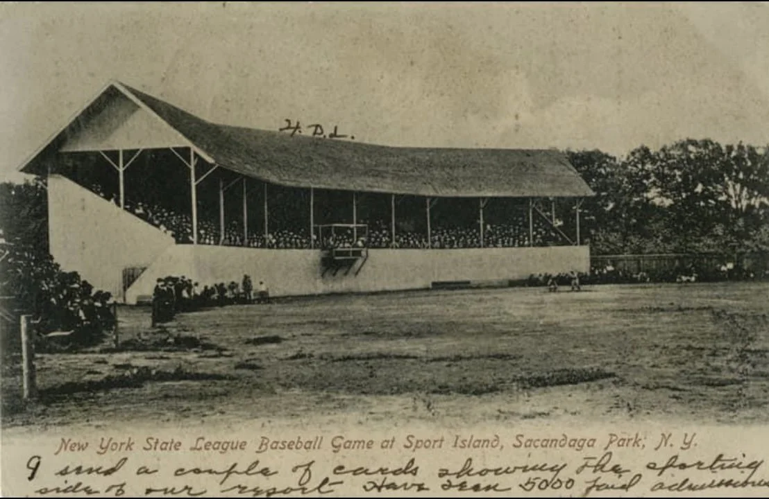
THE BASEBALL STADIUM The stadium on Sport Island in the middle of the River was used for many events beside baseball - balloon ascensions was one of them.
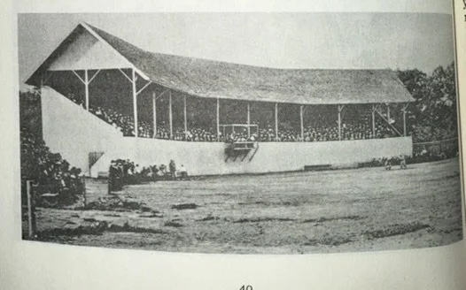
The famous ballpark grandstand located on Sport Island. This was located due east of the Sport Island Pub
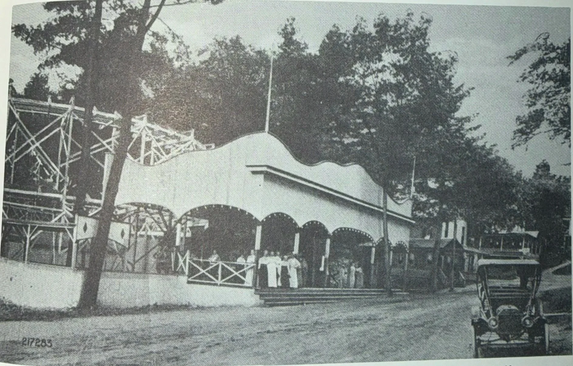
There has been much written about the Sacandaga Park, especially over the past twenty years, but one would be hard pressed to find more than sentence about the 'red light districts" that flourished both at the park and in Northville. There certainly was no mention of them in the extensive advertising done by the FI&GRR Co. who owned the park.
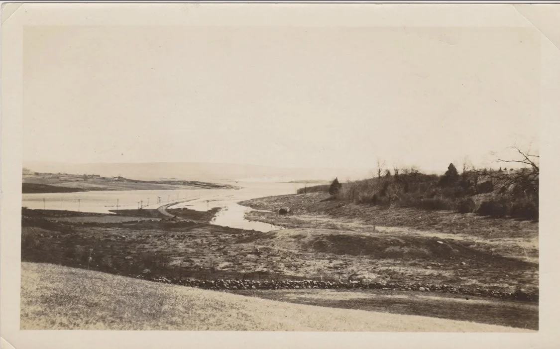
The same picture taken on Lakeside Dr looking out from the Mayfield Spillway Bay
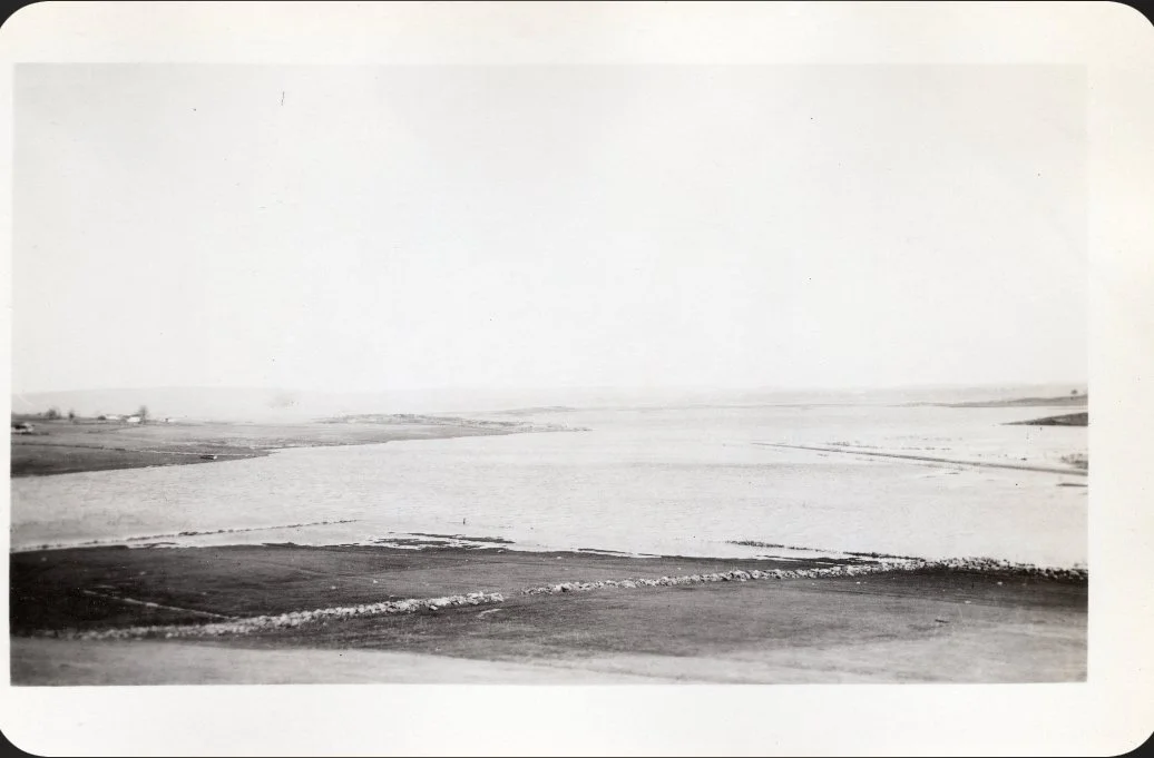
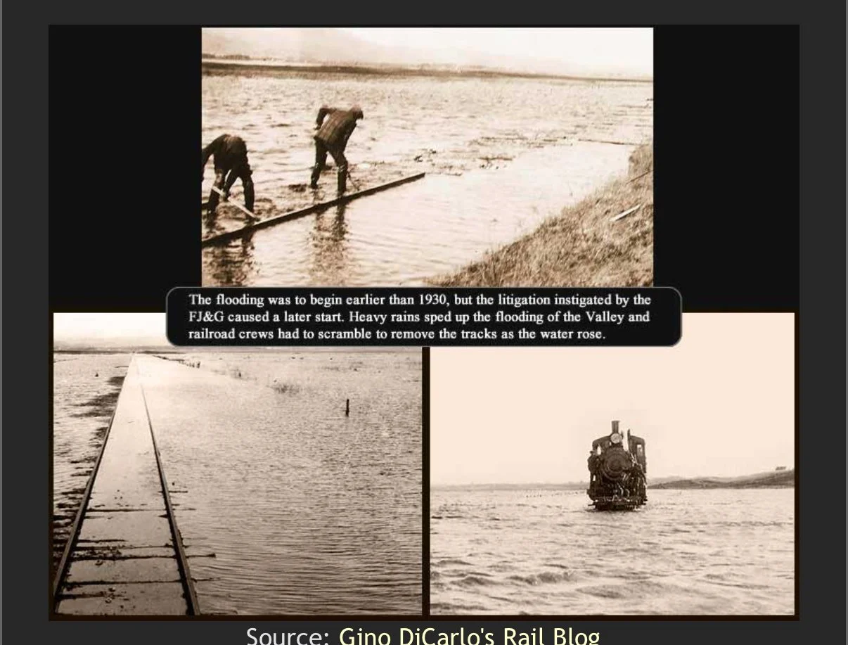
Taken from Lakeside Dr in Mayfield in 1930 you can see the waters of the reservoir rising and the FJ&G railroad bed sticking out of the water on the right.
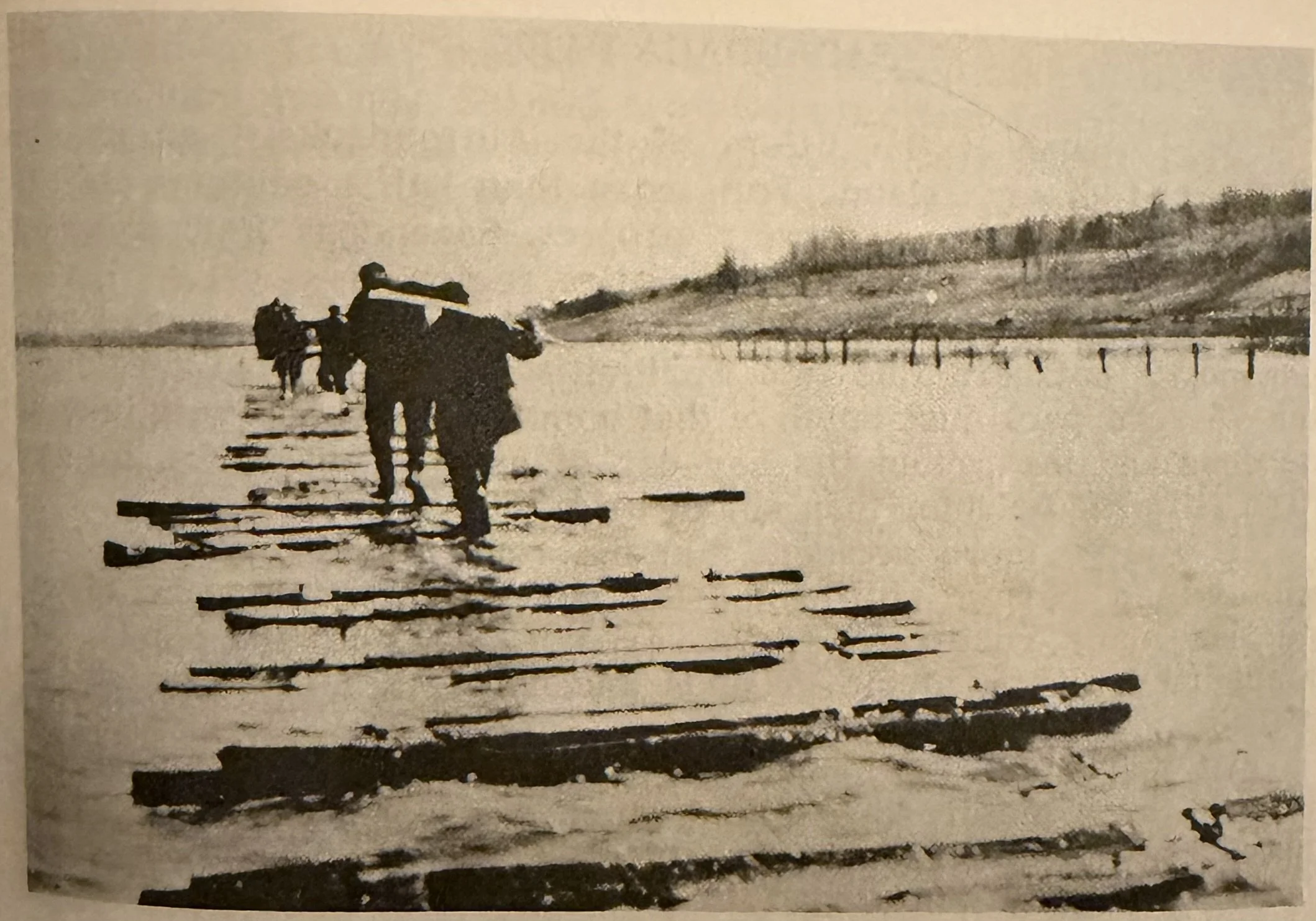
The laborious project of removing the railroad tracks from the valley. This was photographed just south of Sunset bay. Lakeside Dr would be on the right up the hill. In 1932 the lake had to be lowered to remove the remaining railroad ties.
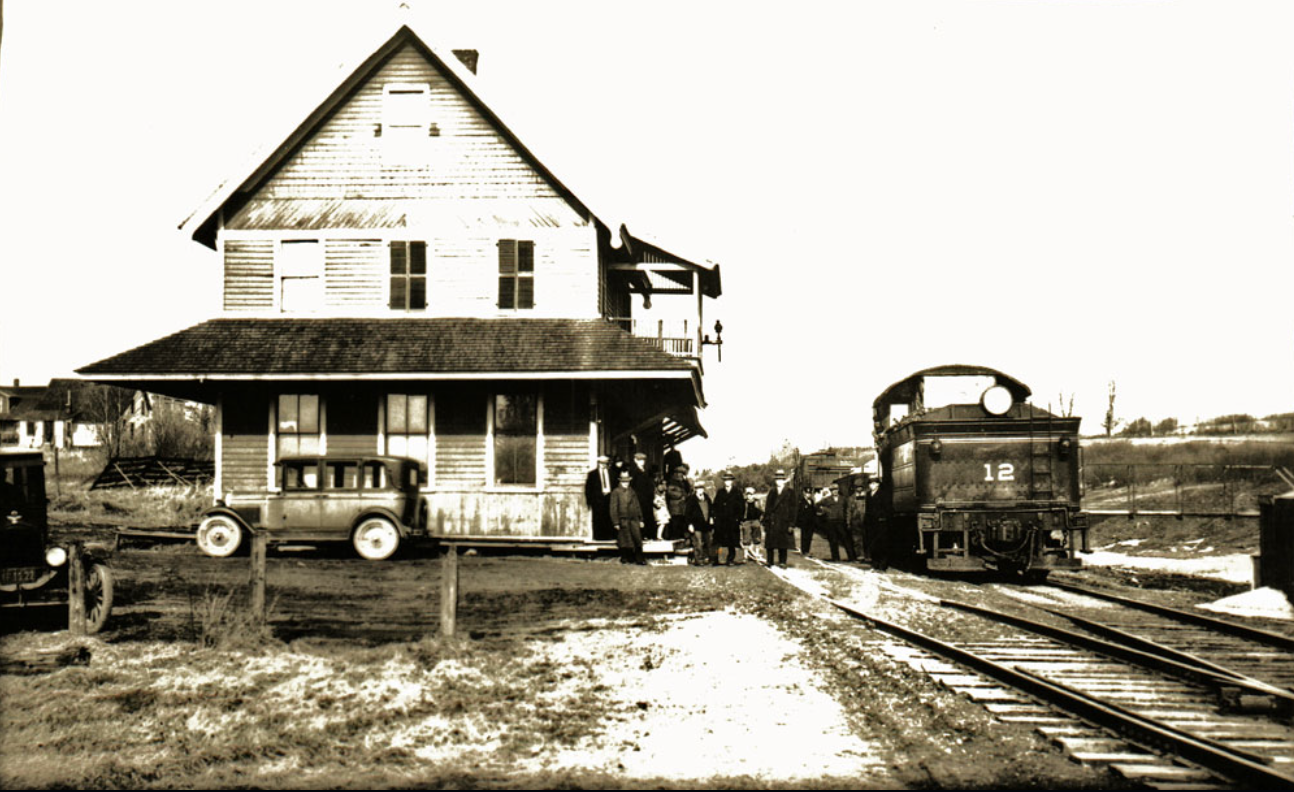
The last stop on the Northville Branch to be lost to flooding was the Mayfield Station. One difference is this station was to be covered by Mayfield Lake, which was created at the same time as the Sacandaga Reservoir.
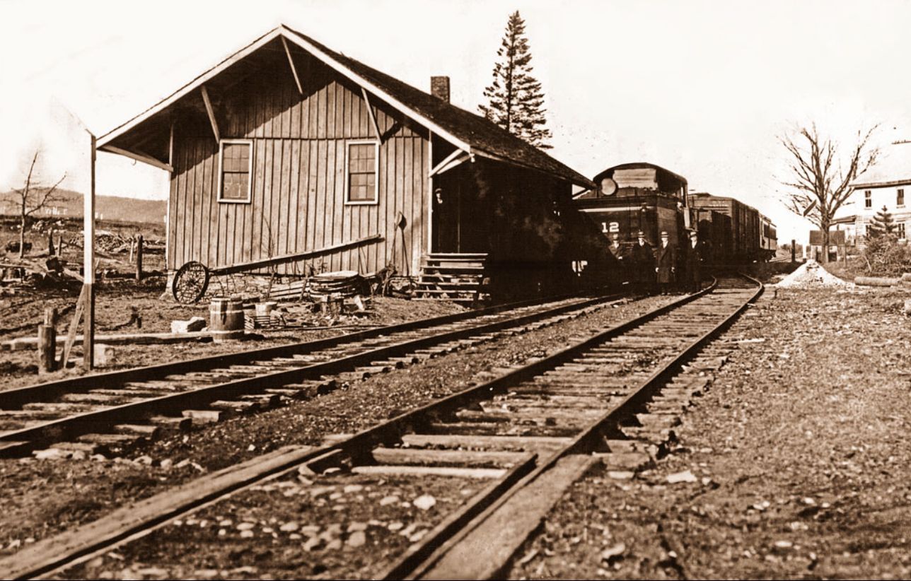
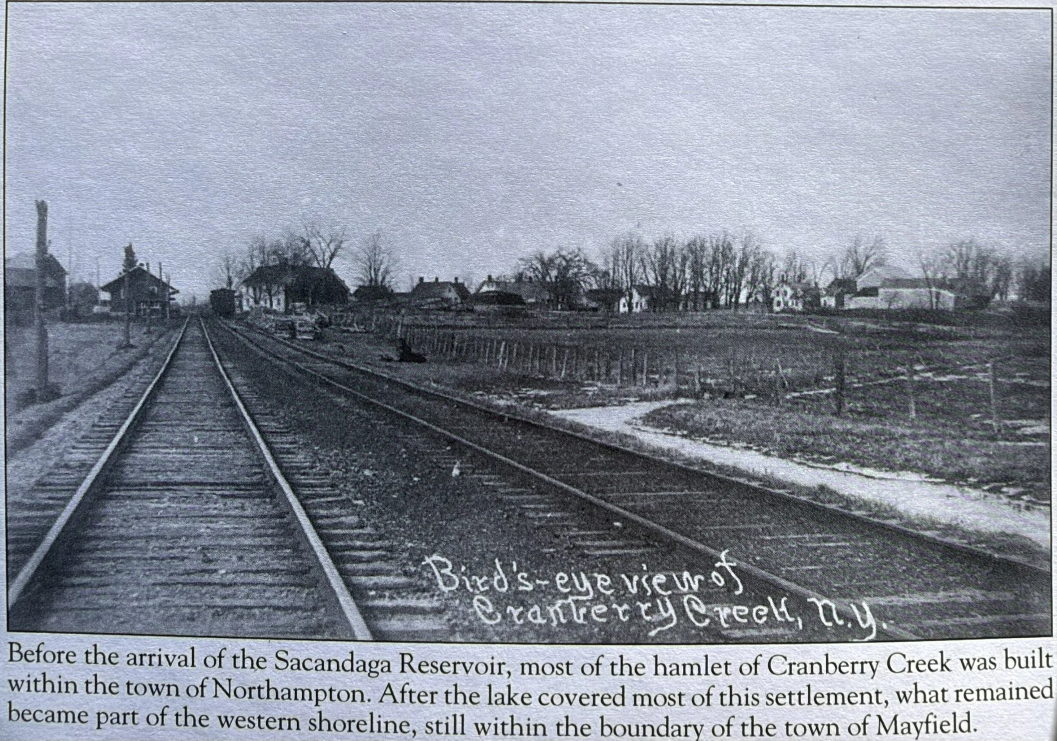
The tiny Hamlet of Cranberry Creek would become about 90 percent covered by the new reservoir. This location was about an 1/8th of a mile West of the current offices of the Hudson/Black River Regulatory Commission. This small depot was the lifeline to the residents, including the Gifford Family with the outside world.
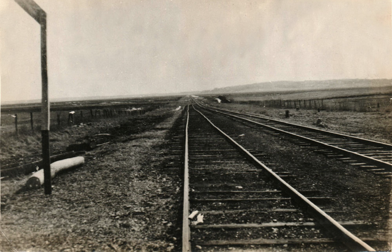
Looking South from Cranberry Creek shows where the 8 miles of the Northville Branch would be covered by the new reservoir.
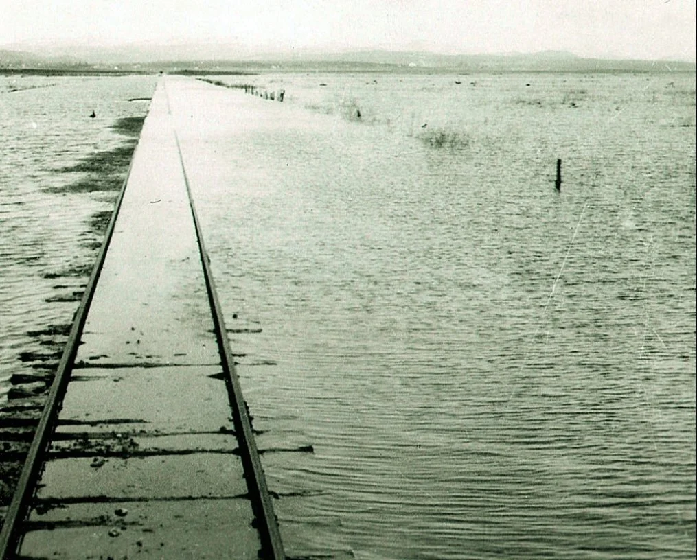
This is the FJ&G Railroad. the picture was most likely taken just outside Sunset Bay looking due north. The Railroad would've gone onto the shores on Cranberry Creek
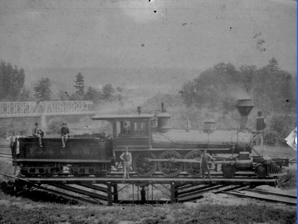
TURN-AROUND IN NORTHVILLE Notice in the background the Northville bridge over the Sacandaga River into Northville. The turn-around was right along the river and the entire area of the tracks, Northville Station, freight storage areas and turn-around were flooded in 1930.
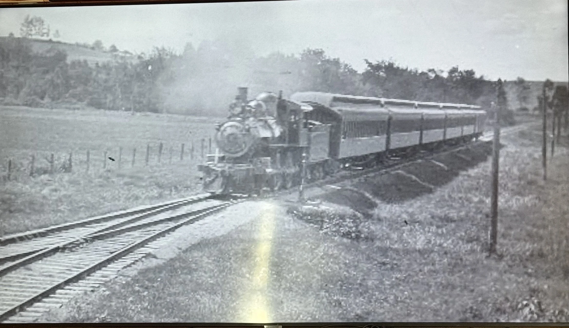
The FJ&G Railroad taken at an unknown location in the bottom of the reservoir.
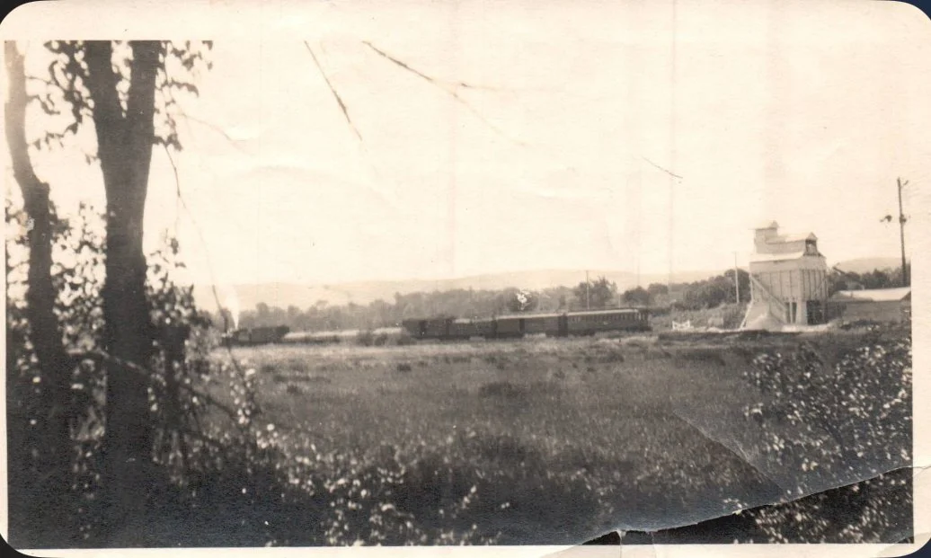
The Anibal Limestone Quary was located at the present Millers Grandview Marina. The railroad ran right outside the quarry in the Mayfield Bay. This picture was taken south of Beacon Island and north of Kunkel Point from the bottom of the Mayfield creek.
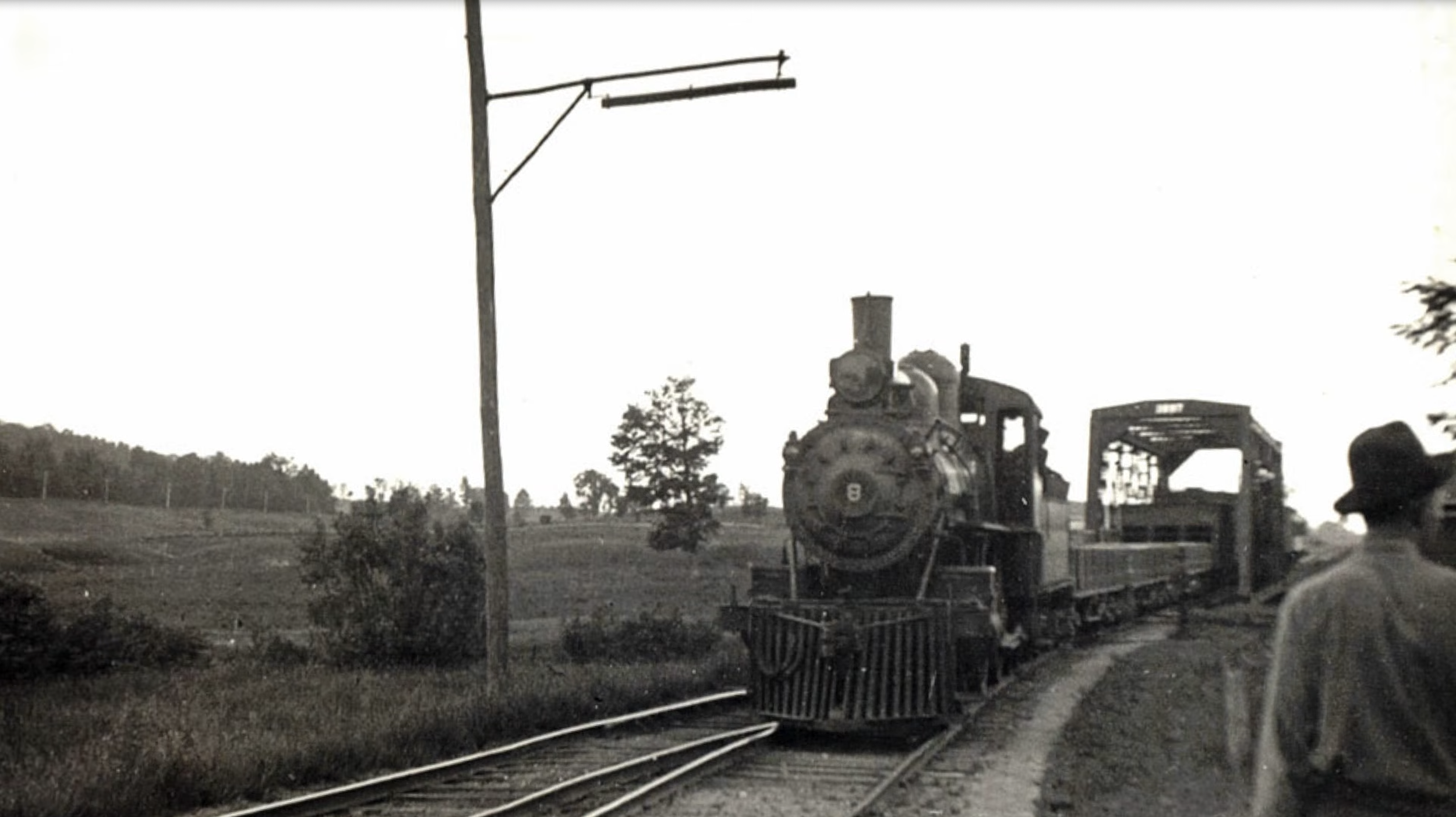
This was the railroad bridge created to cross the Cranberry Creek.
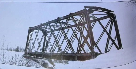
This was the railroad bridge created to cross the Cranberry Creek. It was located about 200 yards off the shores of the Reservoir.
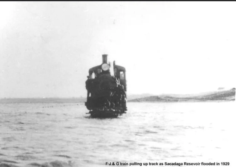
Many false storys stem from this picture. This train was reversing out of the reservoir as the waters rose in the spring of 1930. The car was removed and not left in the bottom of the reservoir.
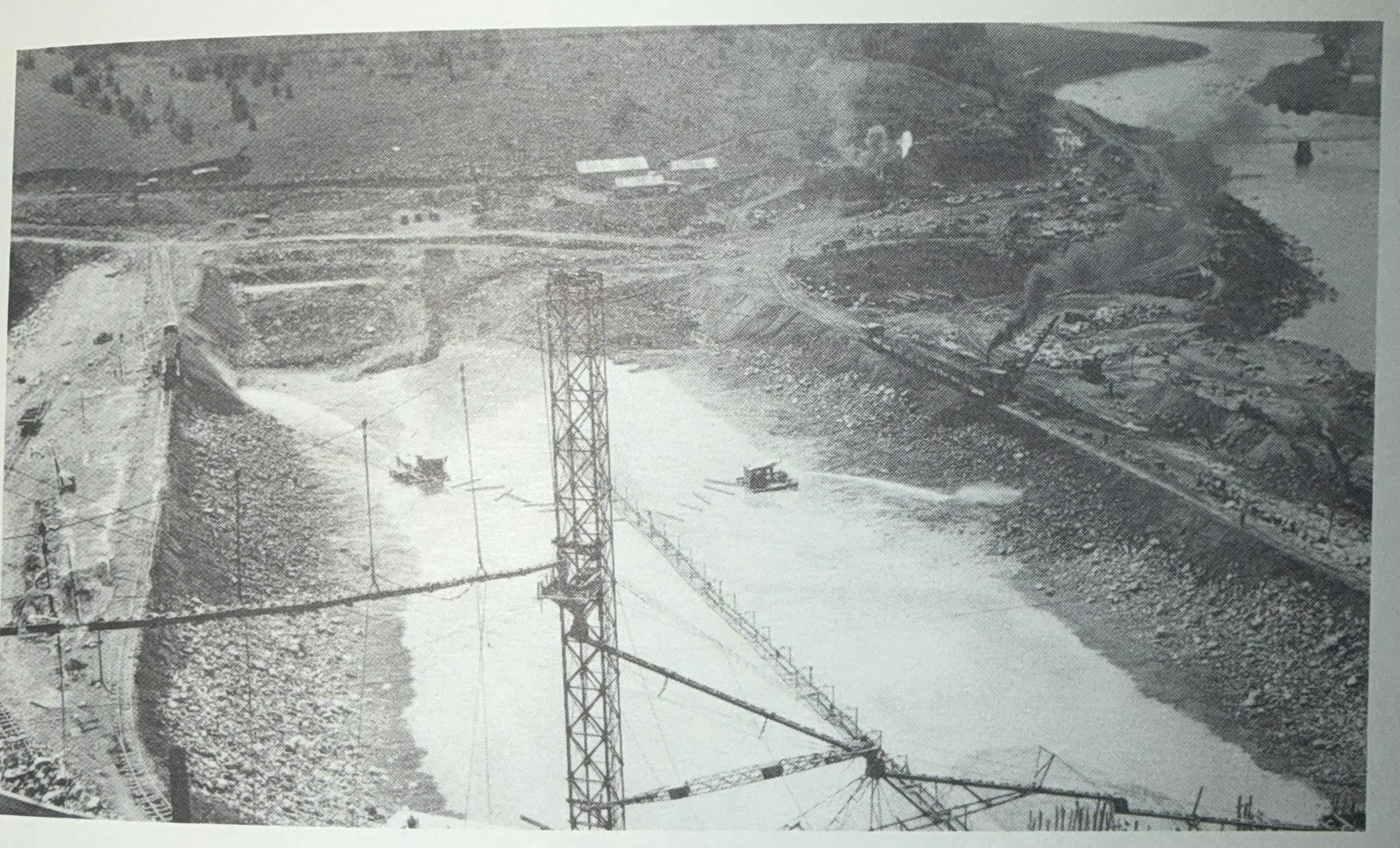
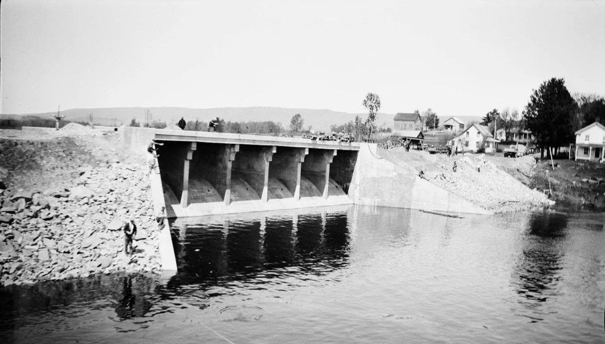
The making of the Conklinville dam in the fall of 1928. The dam would be completed in the winter of 1930 and the dam would close and reservoir was born in april of 1930
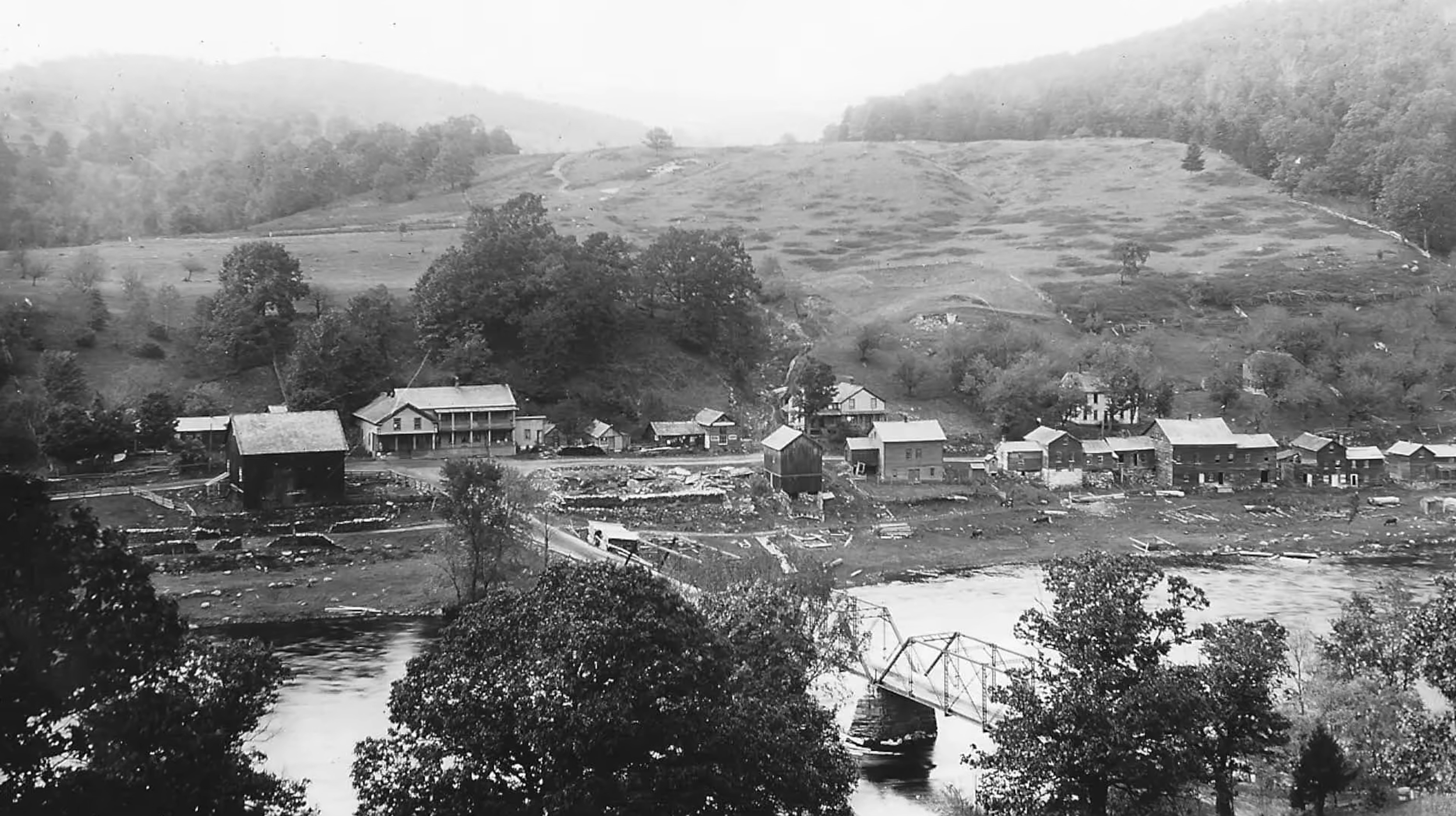
The Conklinville Bridge and town of Conklinville Photographed from the east bank.
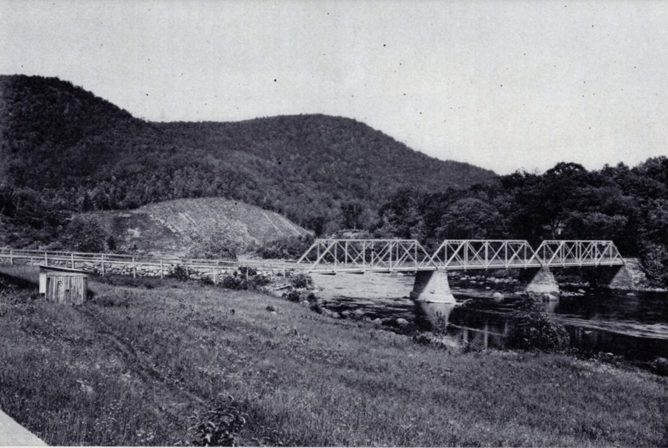
The site of the Conklinville Dam is in the background by the hill. In the foreground is the Conklinville Bridge covered by the reservoir.
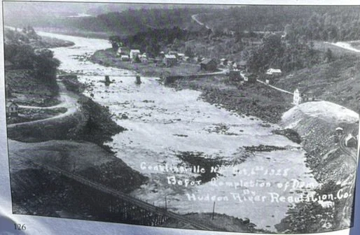
This was taken at the Conklinville dam just before the reservoir was created.
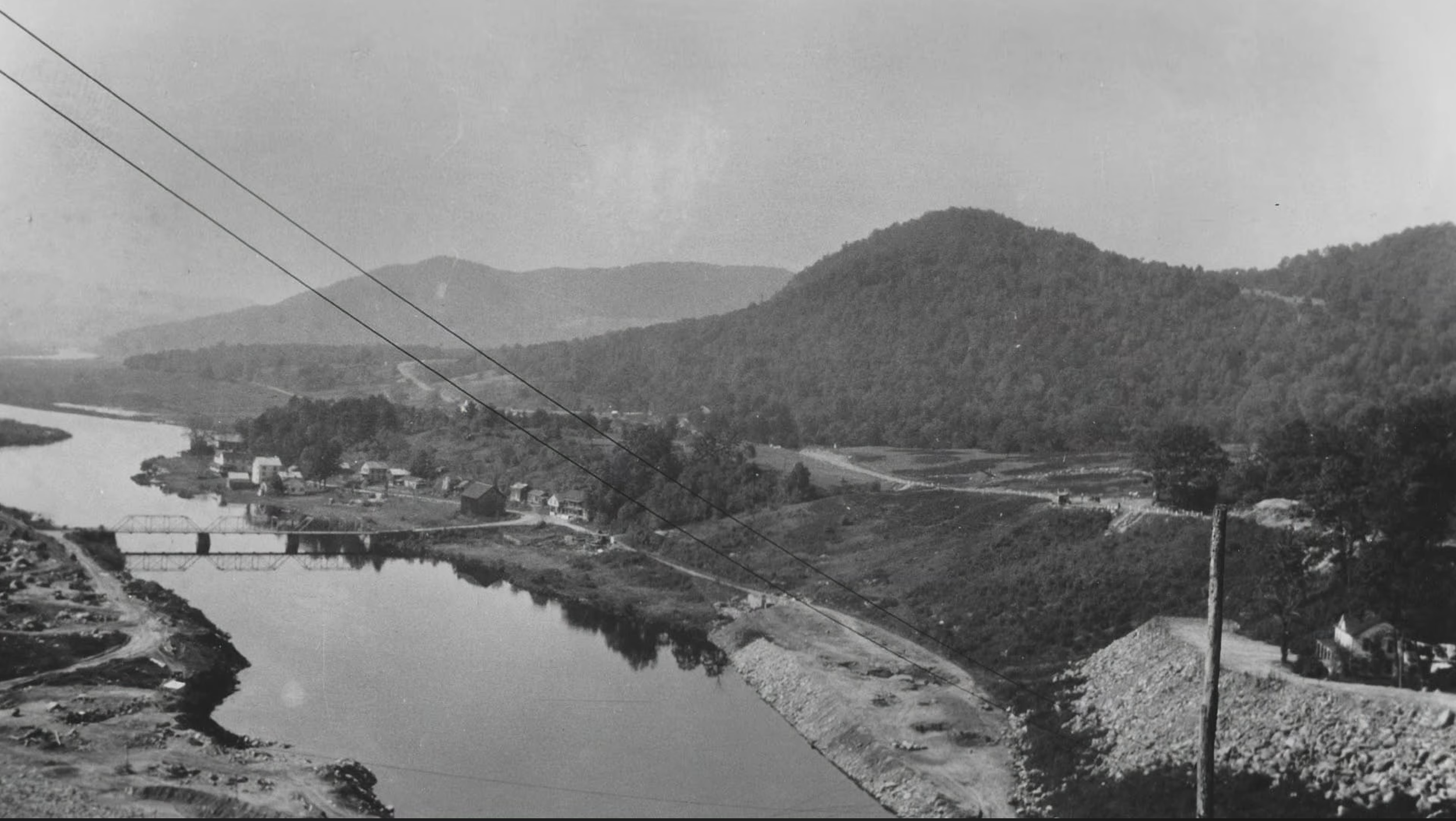
Location of the Conklinville Dam looking south at the original Conlinville Bridge.
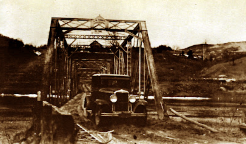
Last car in 1930 to cross the steel bridge at Conklinville
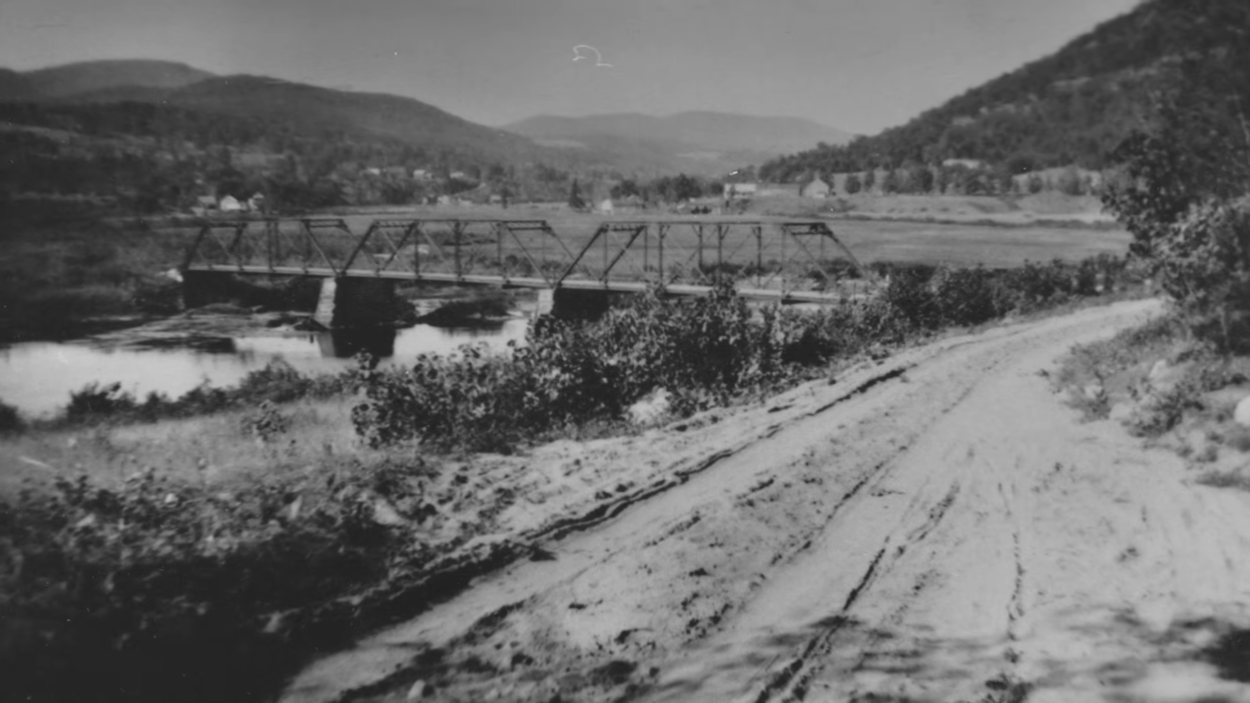
The Day Center bridge located at what is now Flagpole Point.
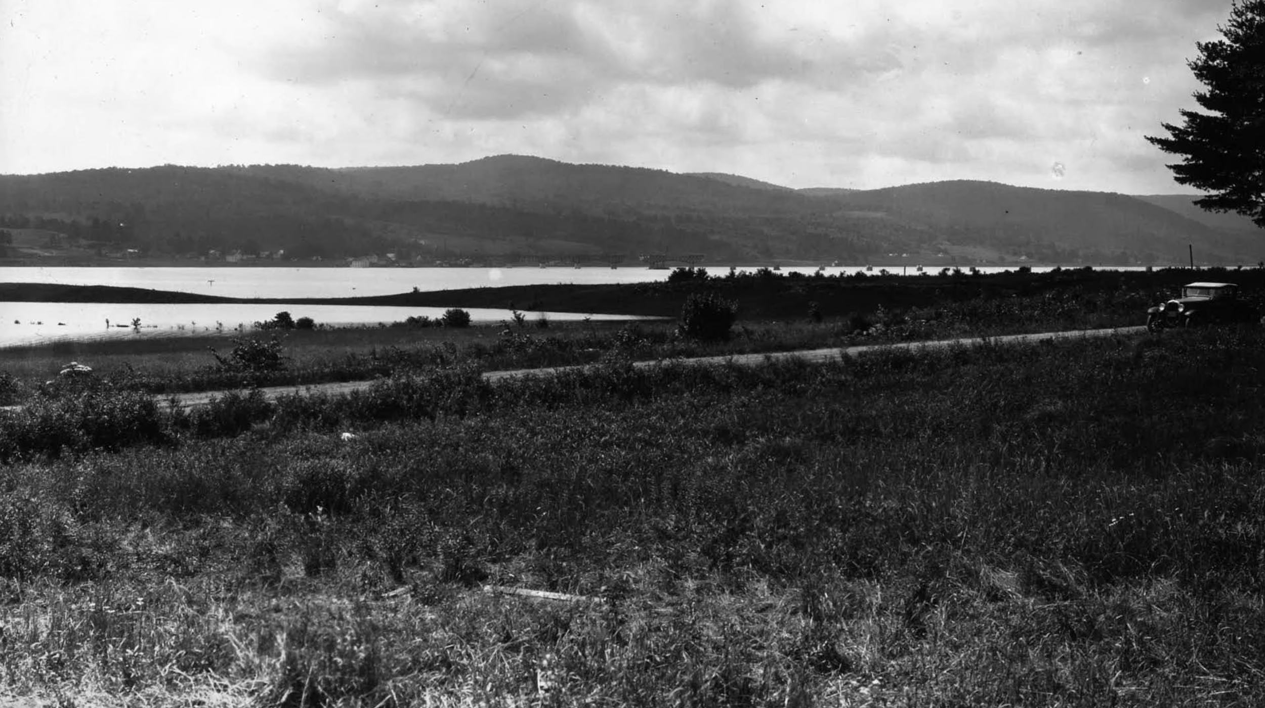
This is photographed from the point of what is now the Edinburgh Marina. The Bachlorville bridge can be seen in the far background being built.
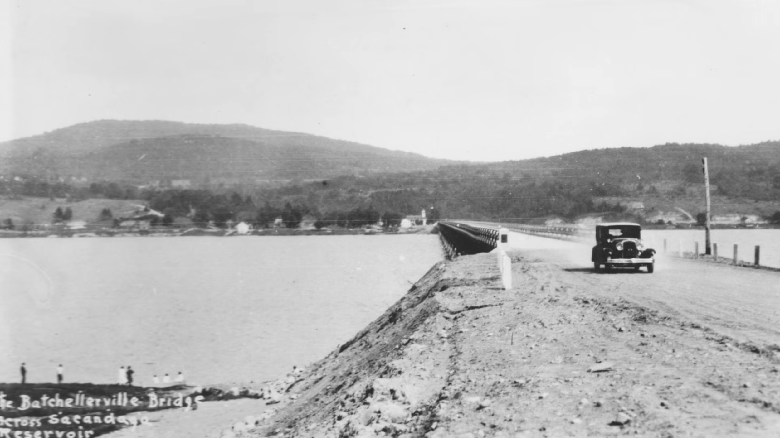
The completed Bachlorville bridge in 1931.
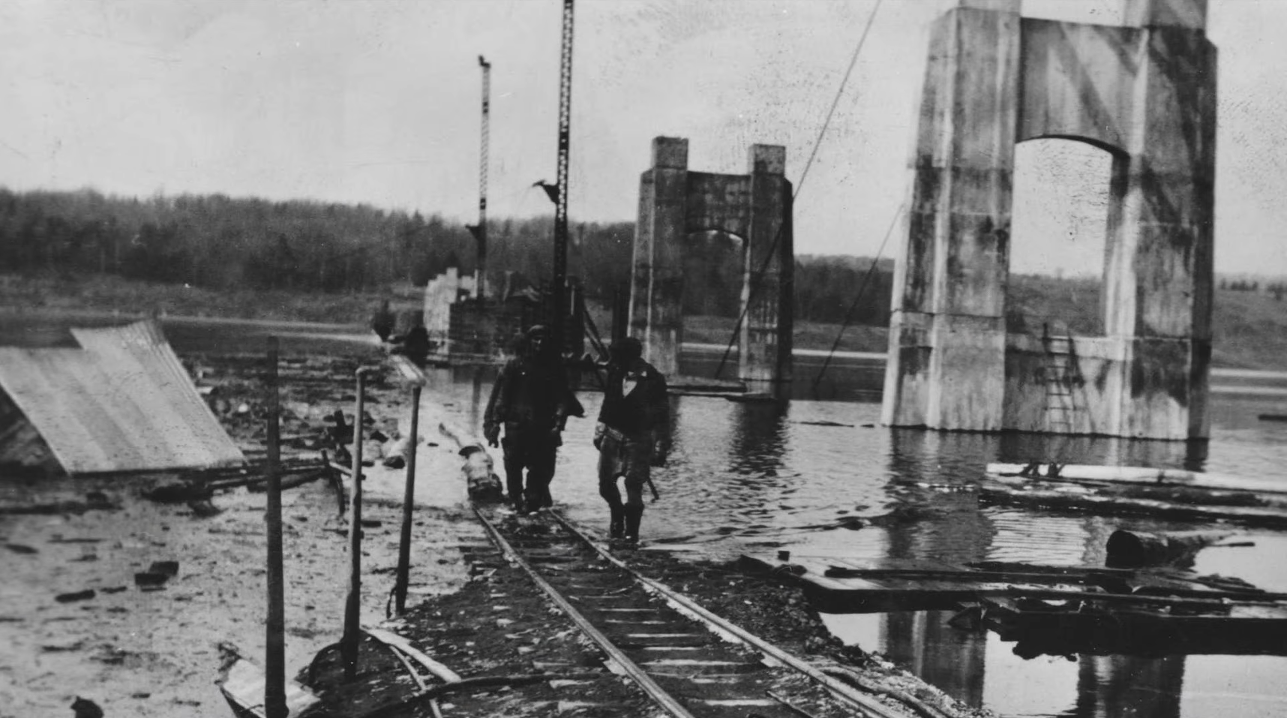
The building of the bachlorville bridge in 1929
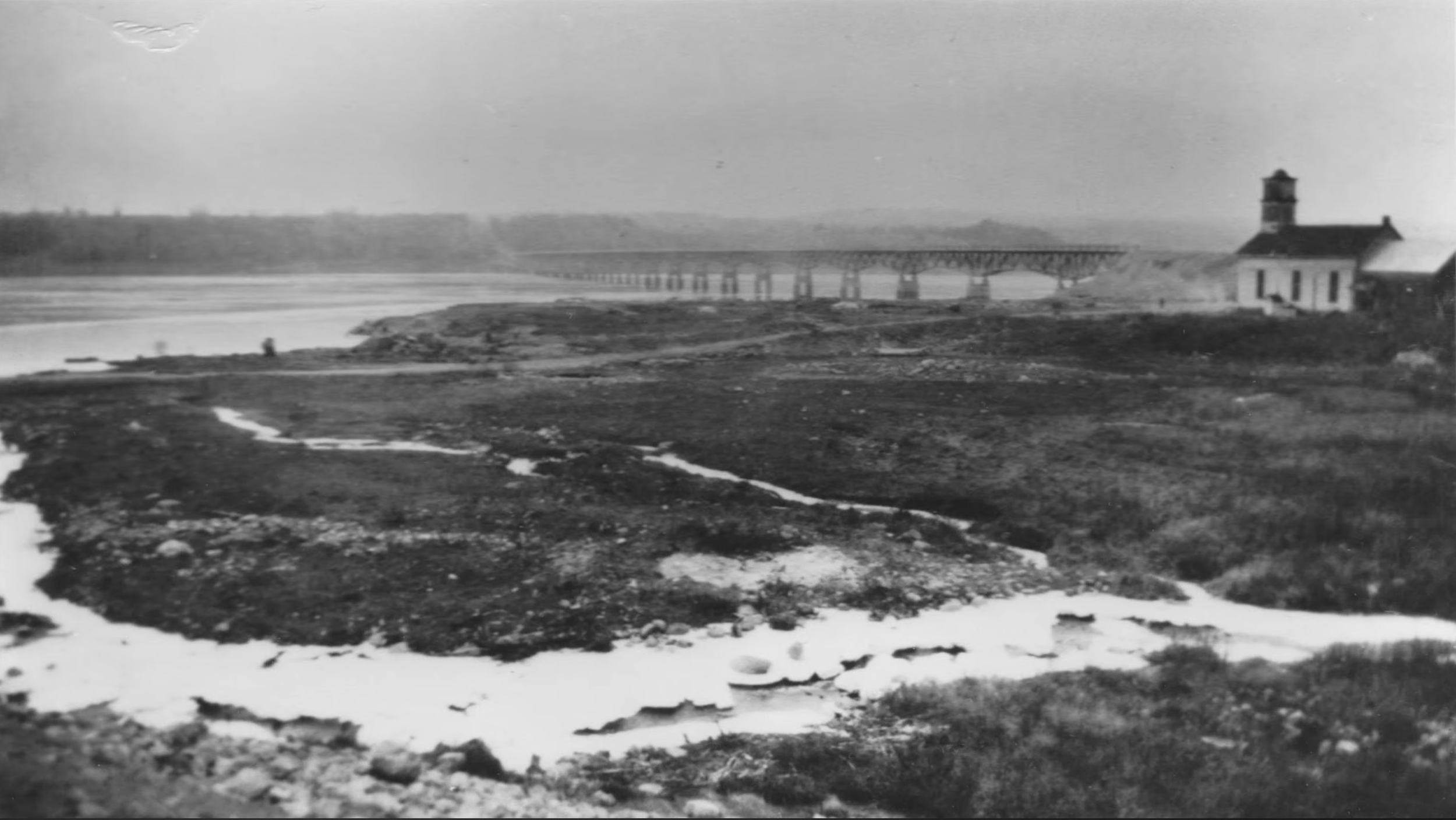
The town of Bachlorville mostly demolished as the flood waters rose.
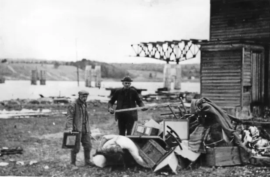
Houses being emptied prior to the completion of the Conklingville Dam. This was in the town of Bachlorville with the new Bachlorville Bridge being built in the background.
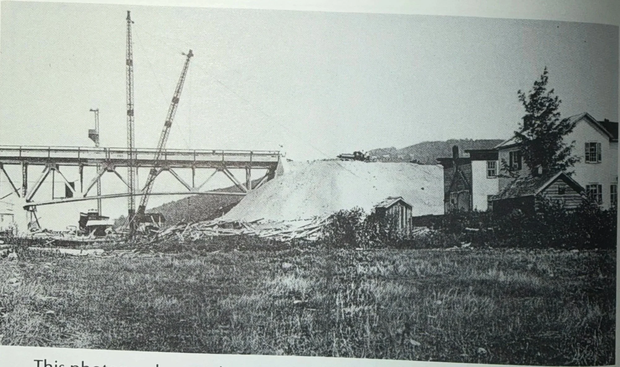
This photograph was taken in the summer of 1930, after the valley was flooded. It shows the eastern end of the Batchellerville Bridge which was scheduled for completion in the fall of the same year. The cost was somewhere around a half million dollars. The county of Saratoga was responsible for construction of the western (Edinburg) side of the bridge
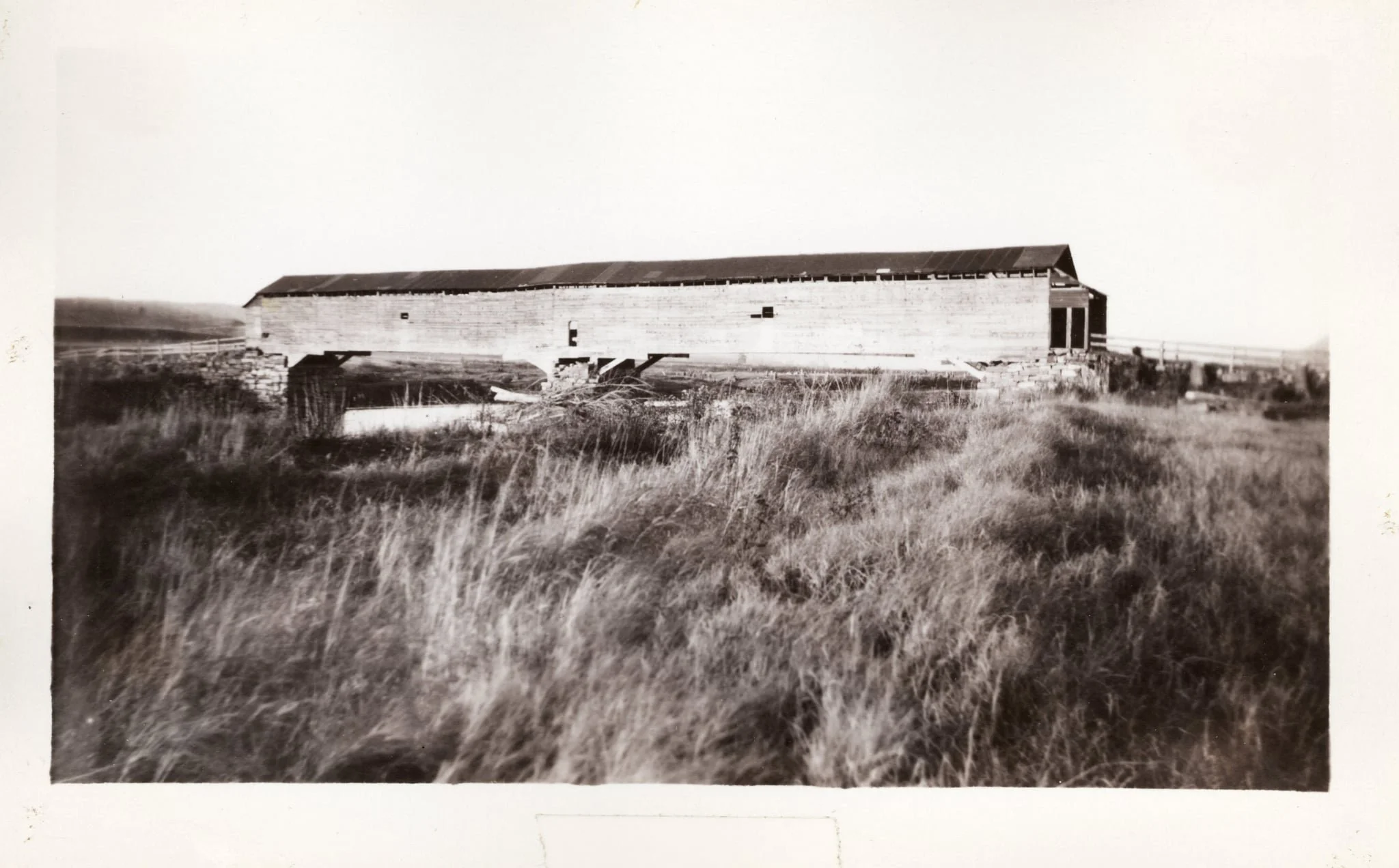
The orginal Bachlorville bridge located just north of the current bridge. This covered bridge was built to cross the original Sacandaga River in the 1800s. The bridge was demolished for the creation of the Sacandaga Reservoir
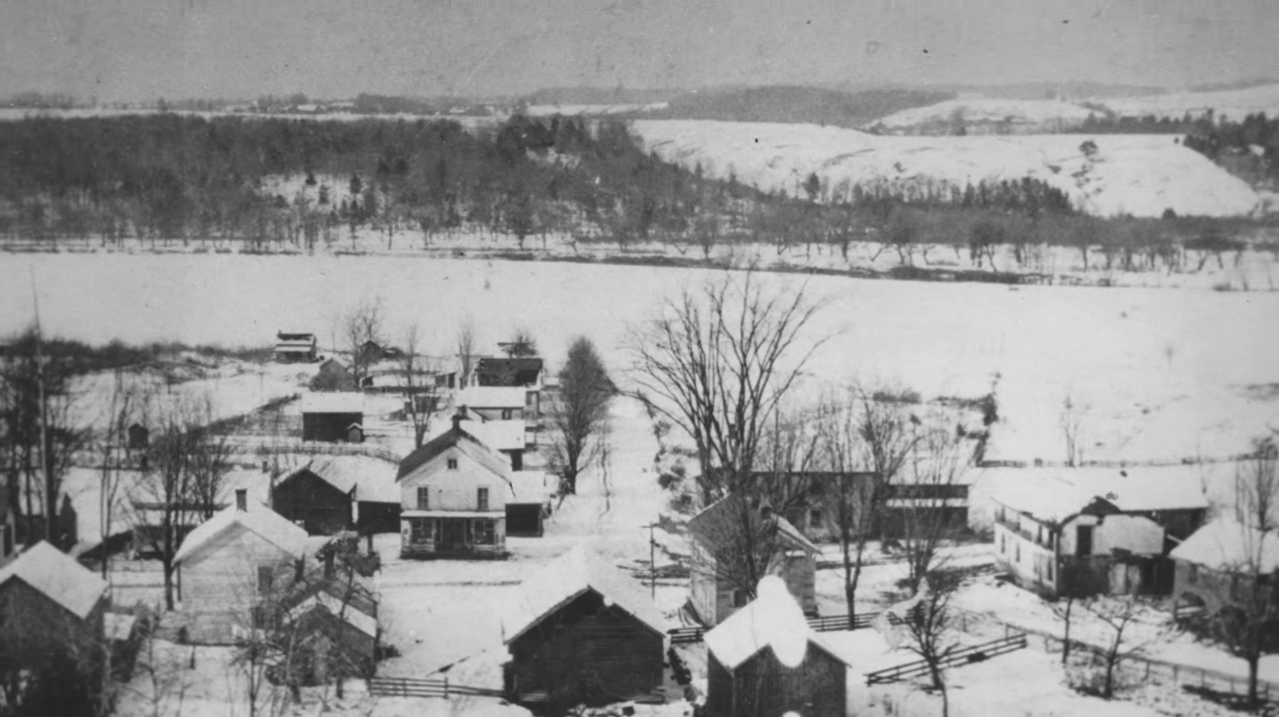
Photographed over looking the town of Bachlorville. The bridge would soon be built right in the middle of this picture.
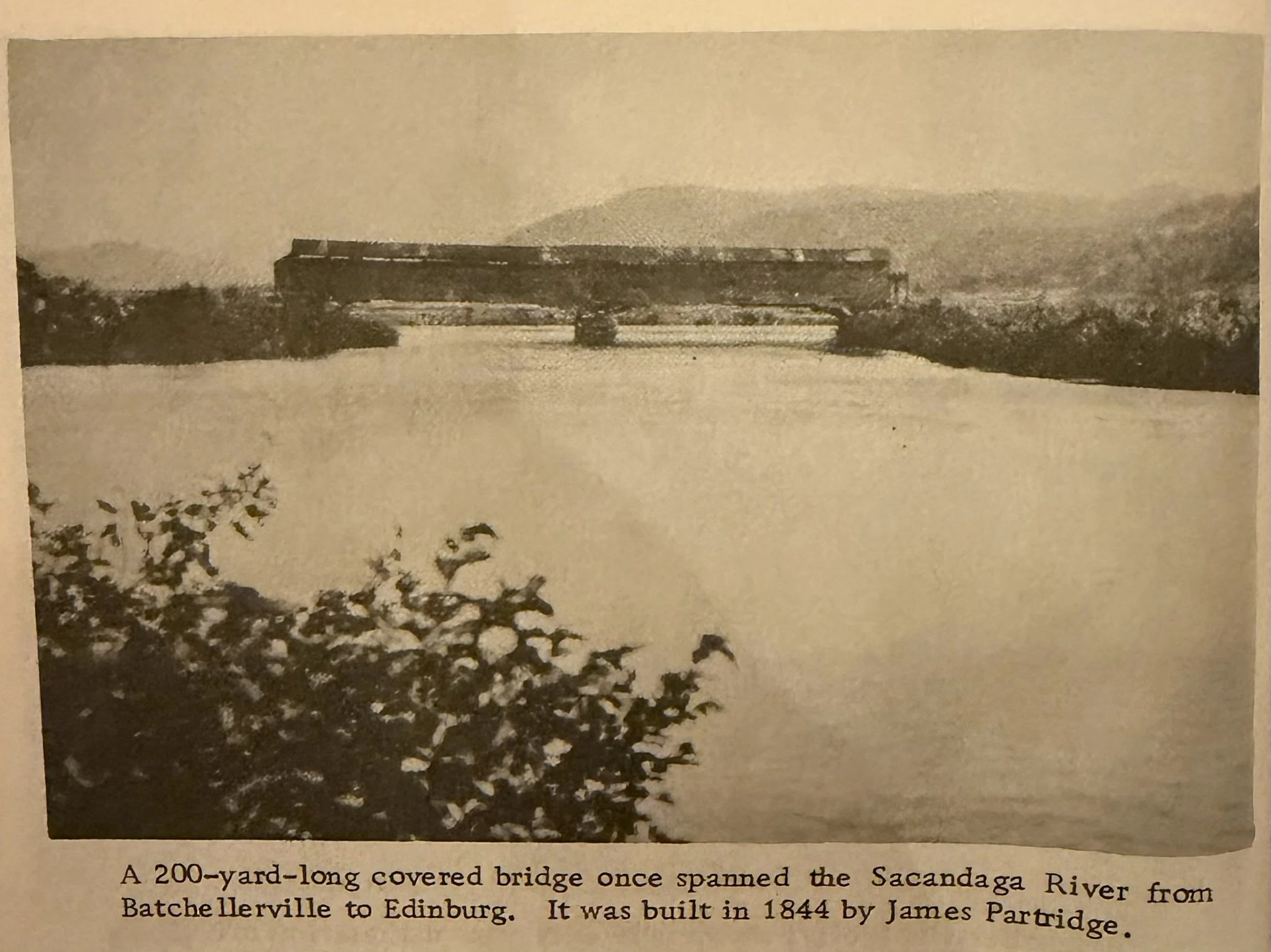
The original bachlorville bridge.
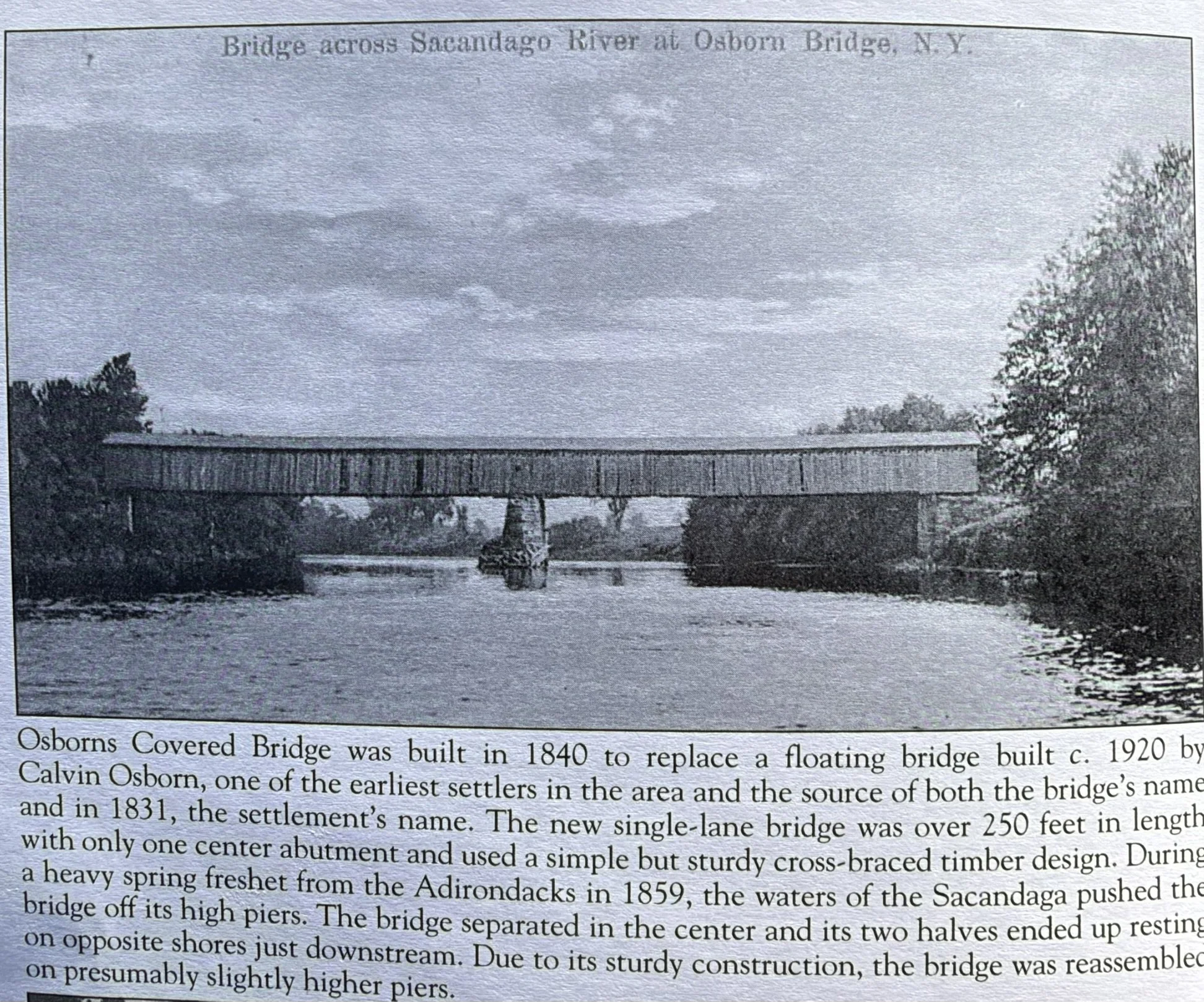
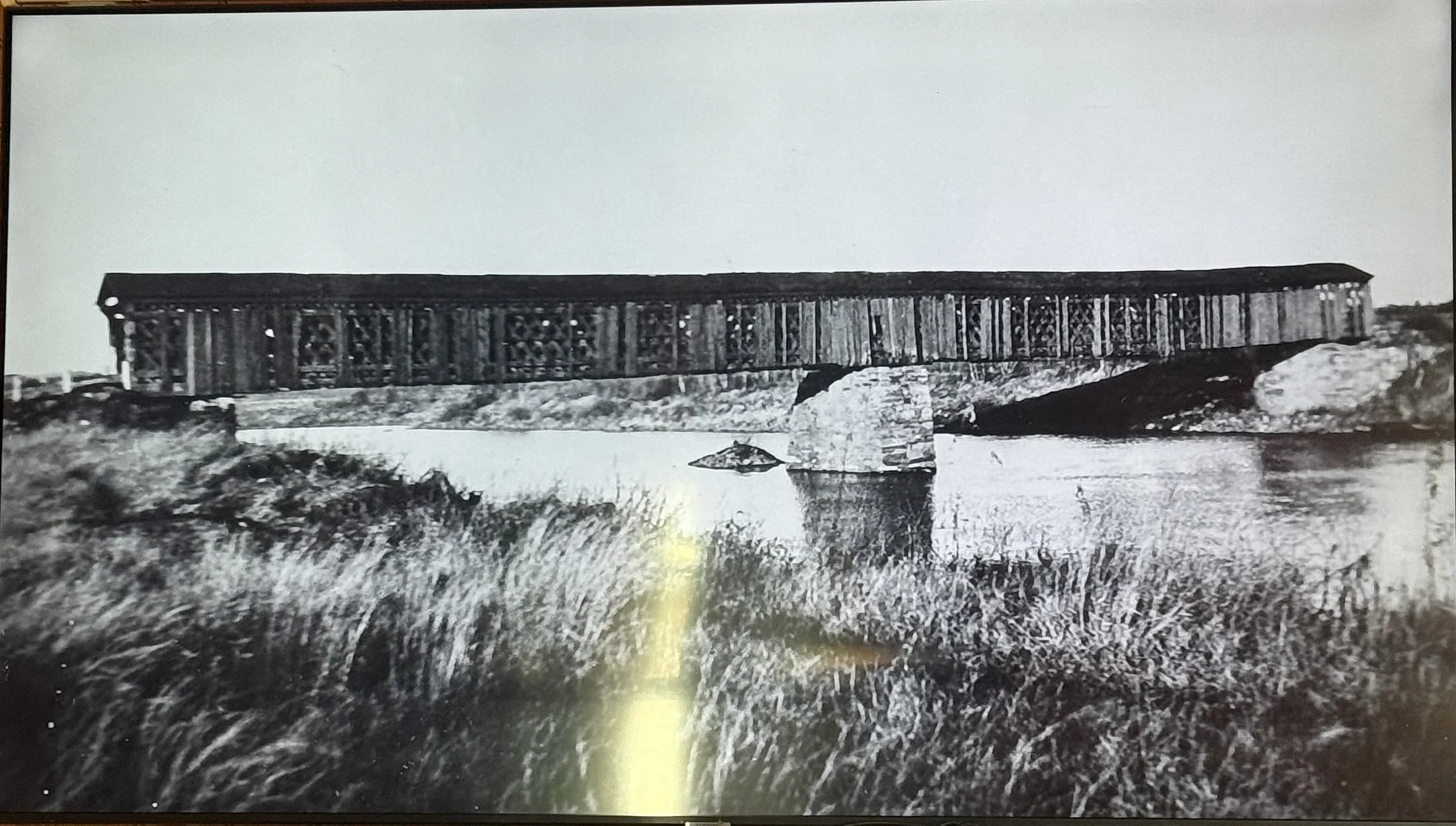
The Osborn Covered Bridge
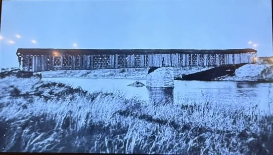
The famous Osborn Covered Bridge looking north.
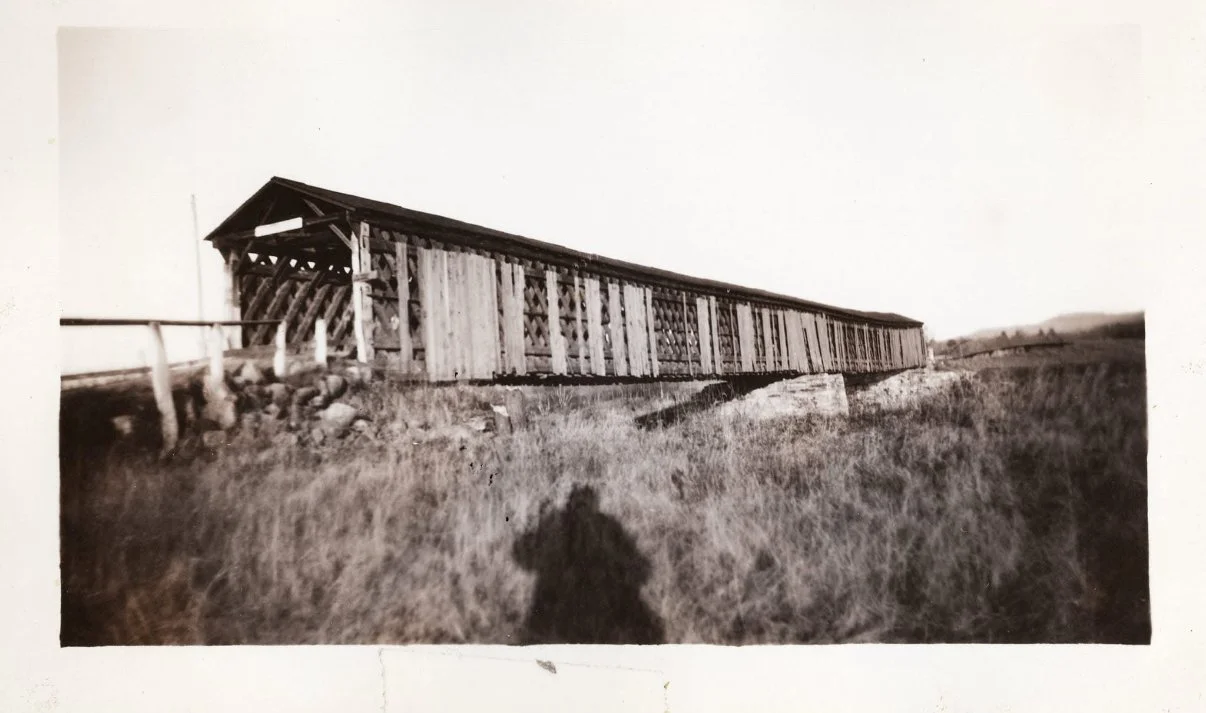
The Osborn Covered bridge taken just before the reservoir was created.
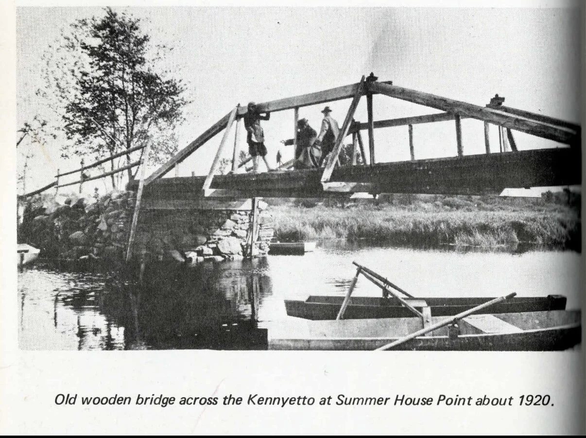
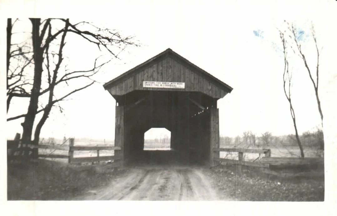
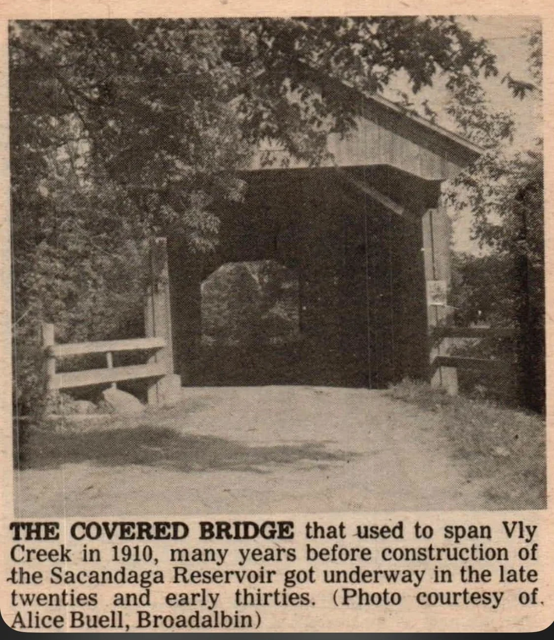
The Vly Creek covered bridge located 200 yards south west of the Fish House covered bridge.
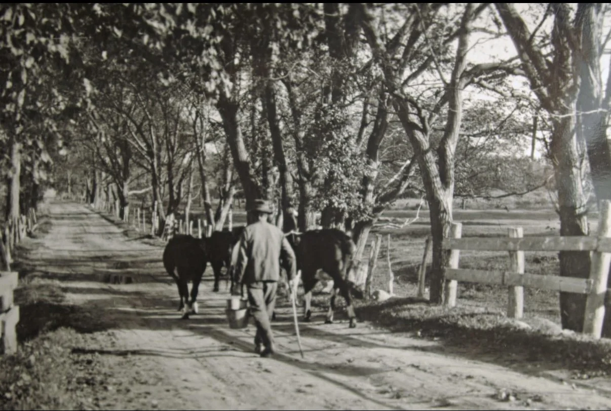
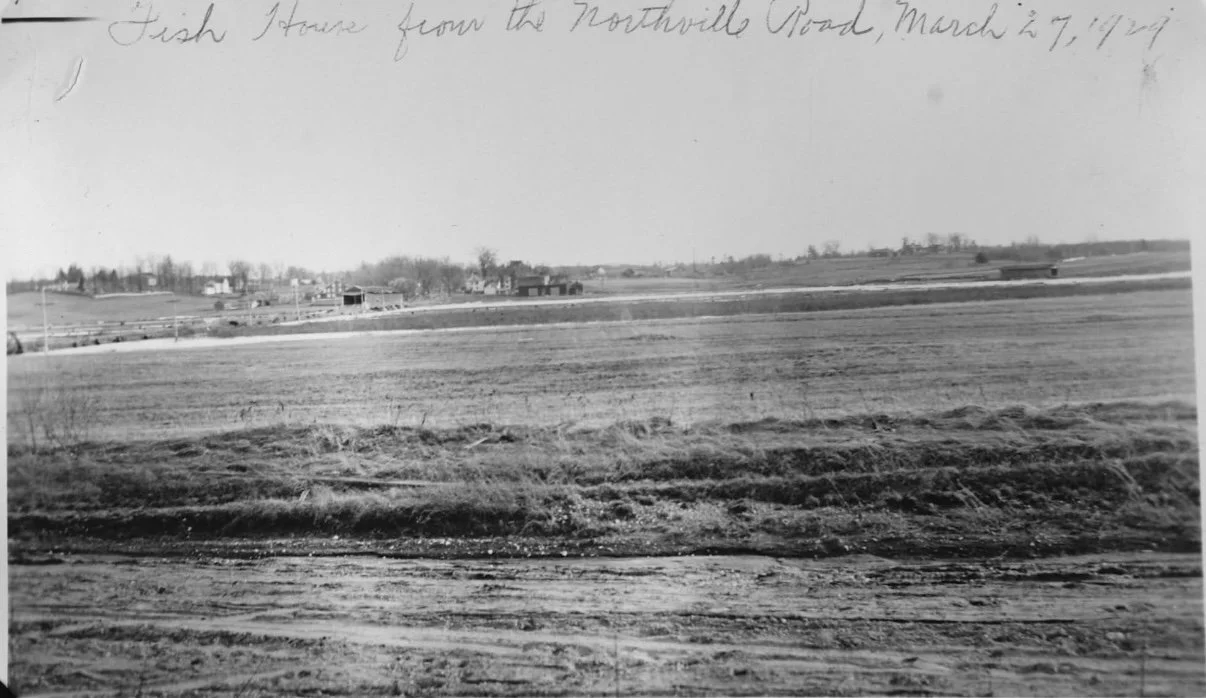
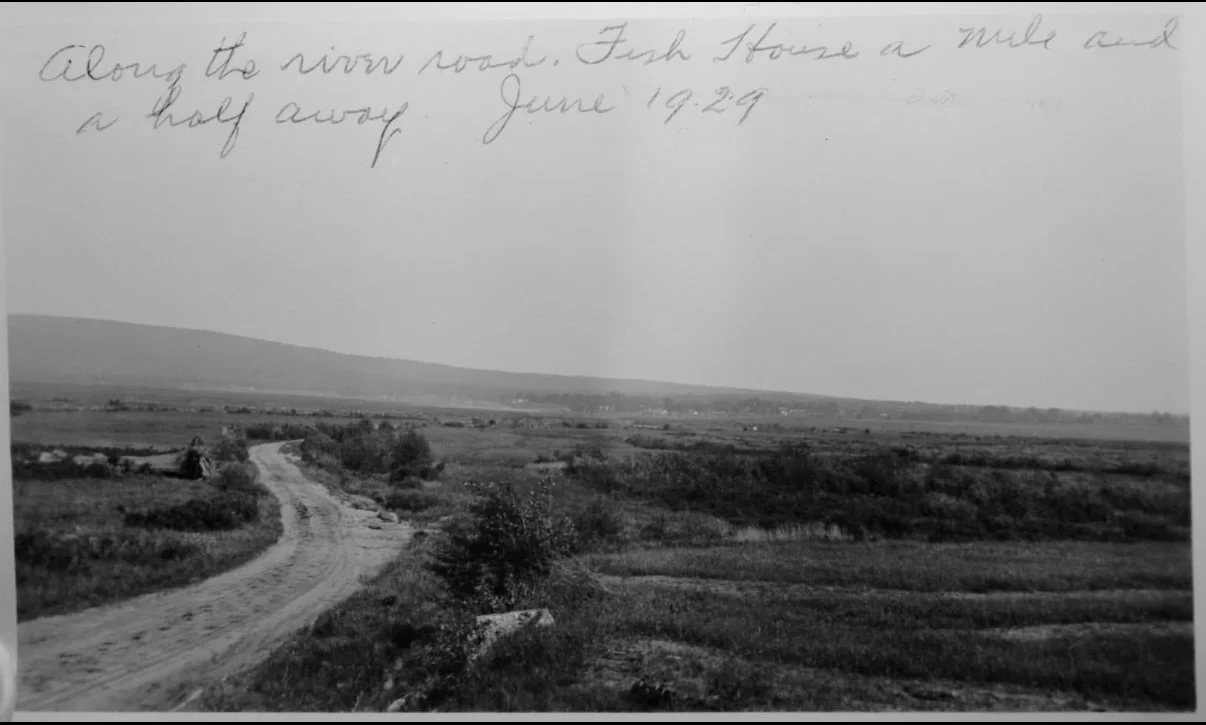
Taken along fish house road off Sinclair Point.
Taken just west of Sinclair Point. This is looking south, you can see the Fish House Covered Bridge on the left and Vly Creek Bridge on the right.
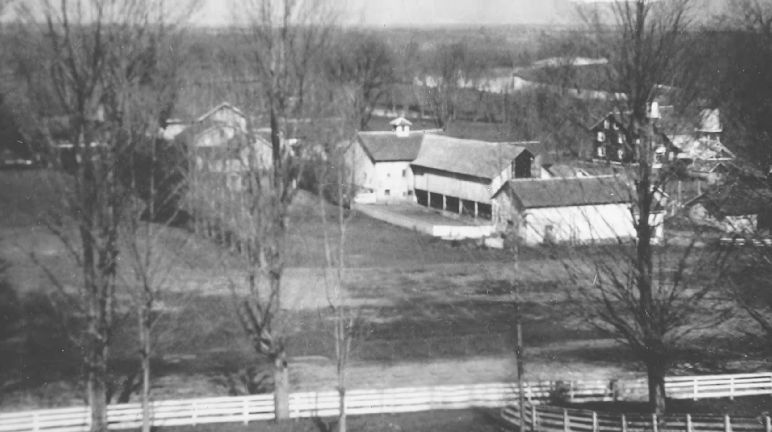
The town of Fish House with the Sacandaga River in the background. This wouldve been photographed from the cemetary.
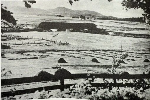
The famous Fishhouse covered bridge. This picture was taken from the cemetery
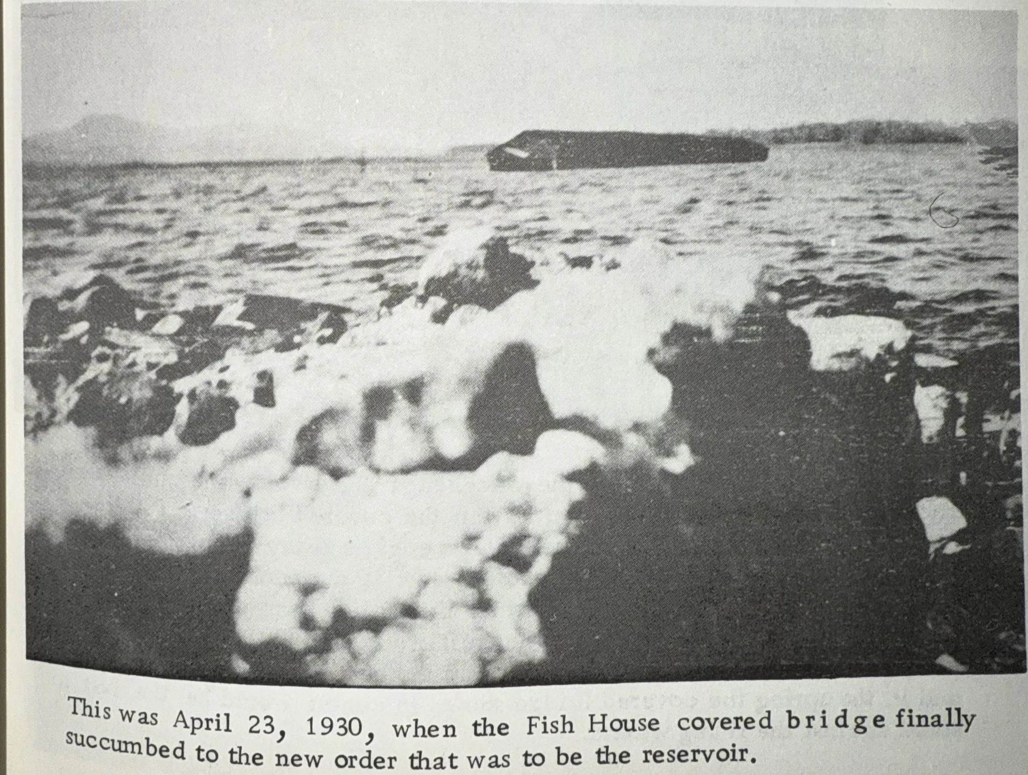
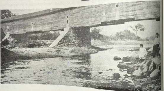
Fish House covered bridge photographed at the turn of the century looking northeast.
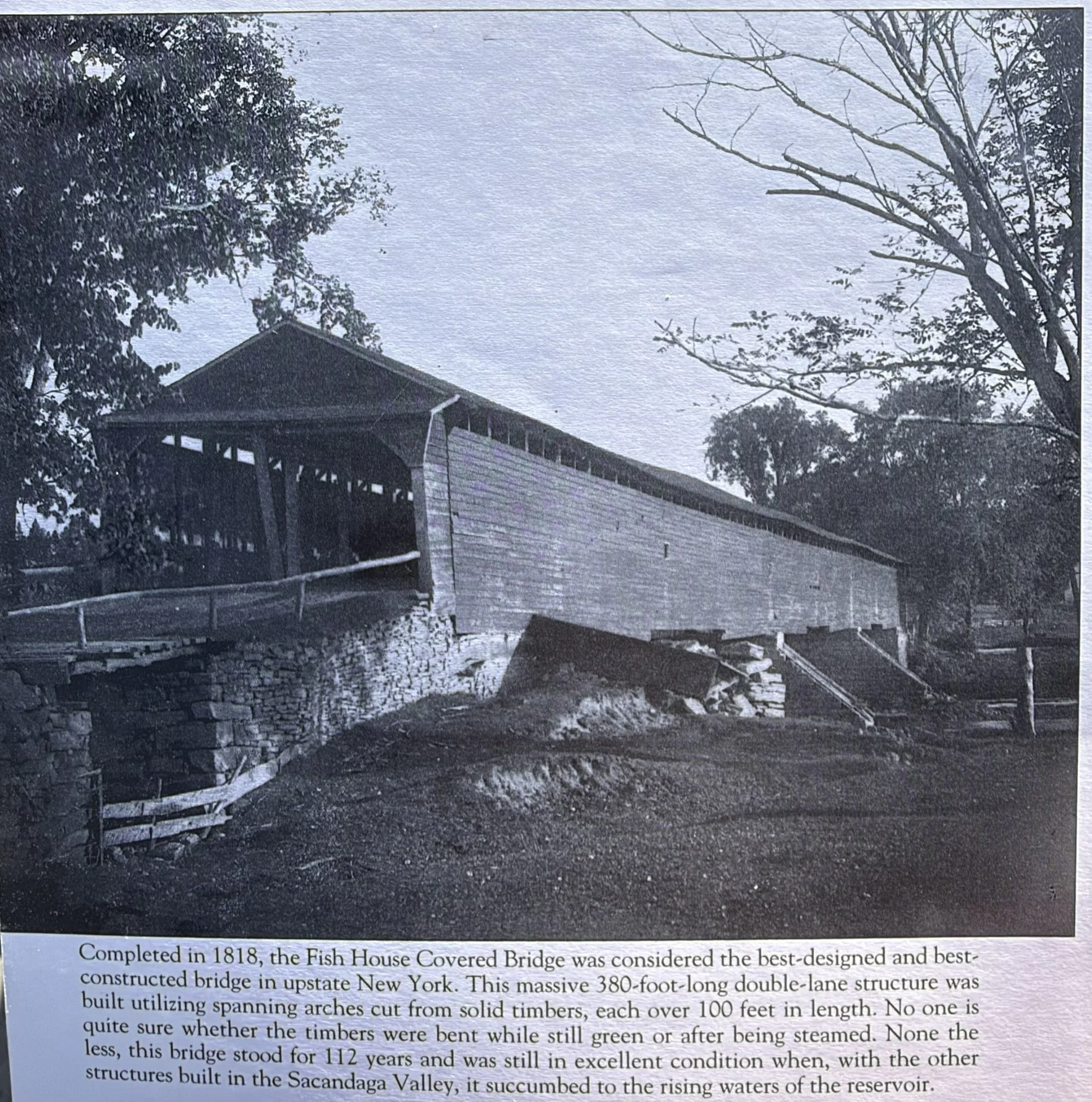
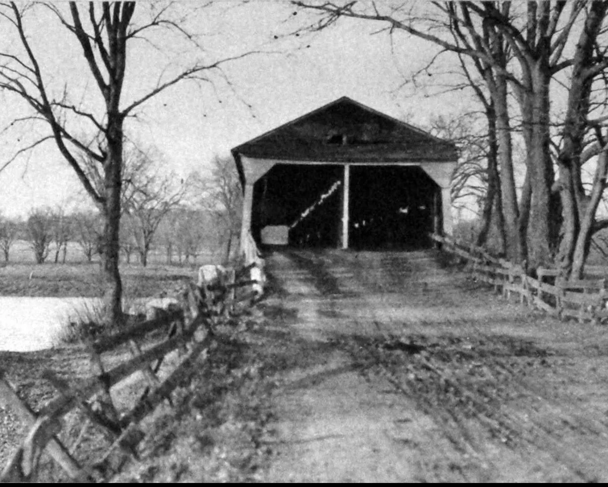
Fish House Covered Bridge looking north.
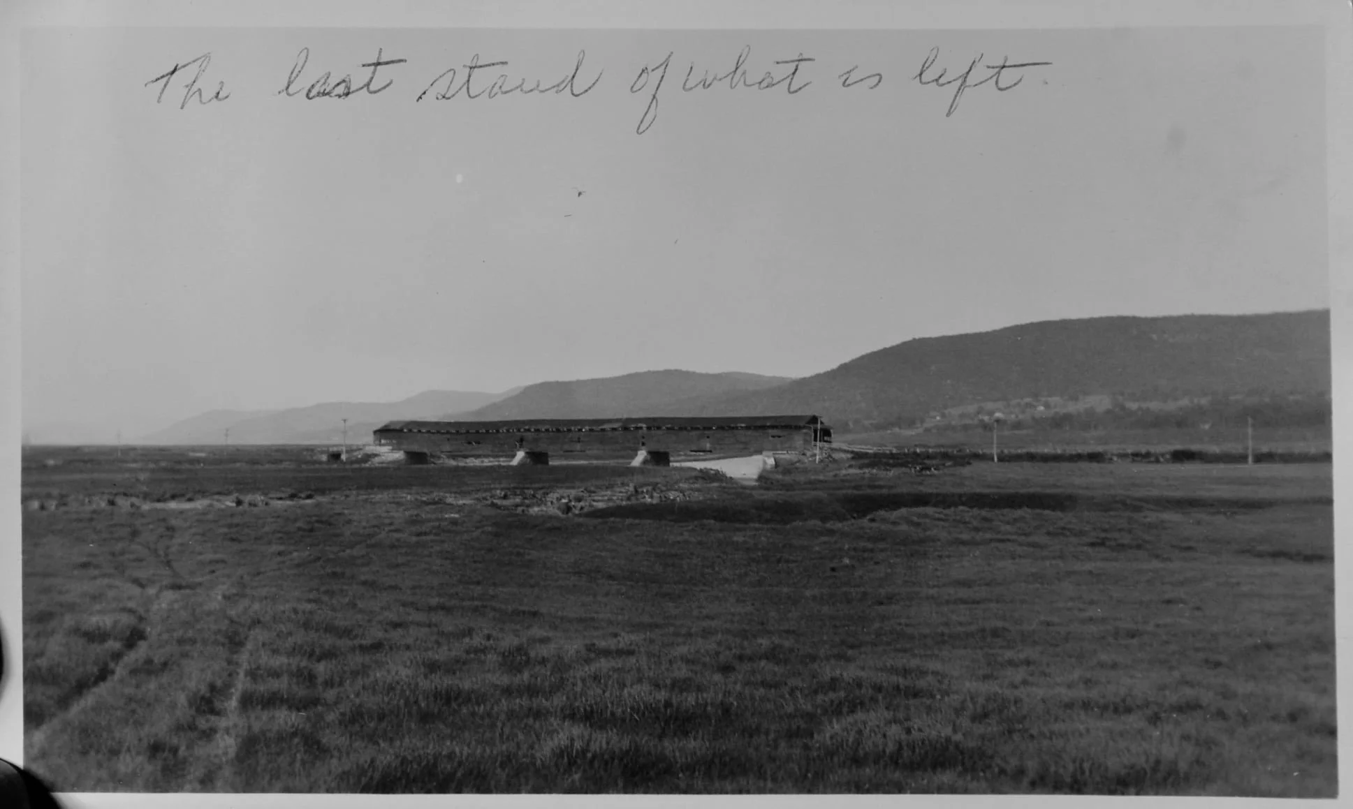
Taken southwest looking northeast at the Fish House Covered Bridge.
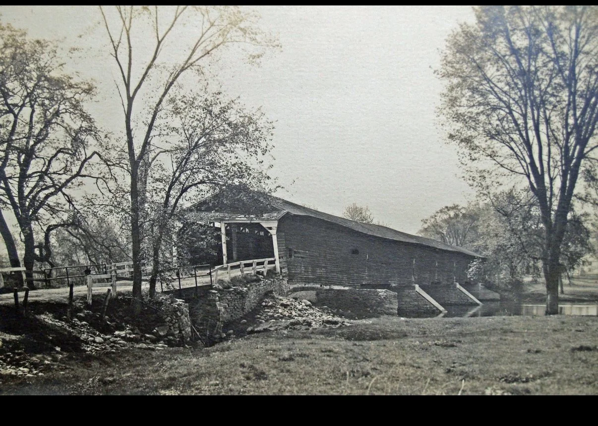
Fish House Covered Bridge looking south. This was left but quickly swept away when the waters of the reservoir rose.
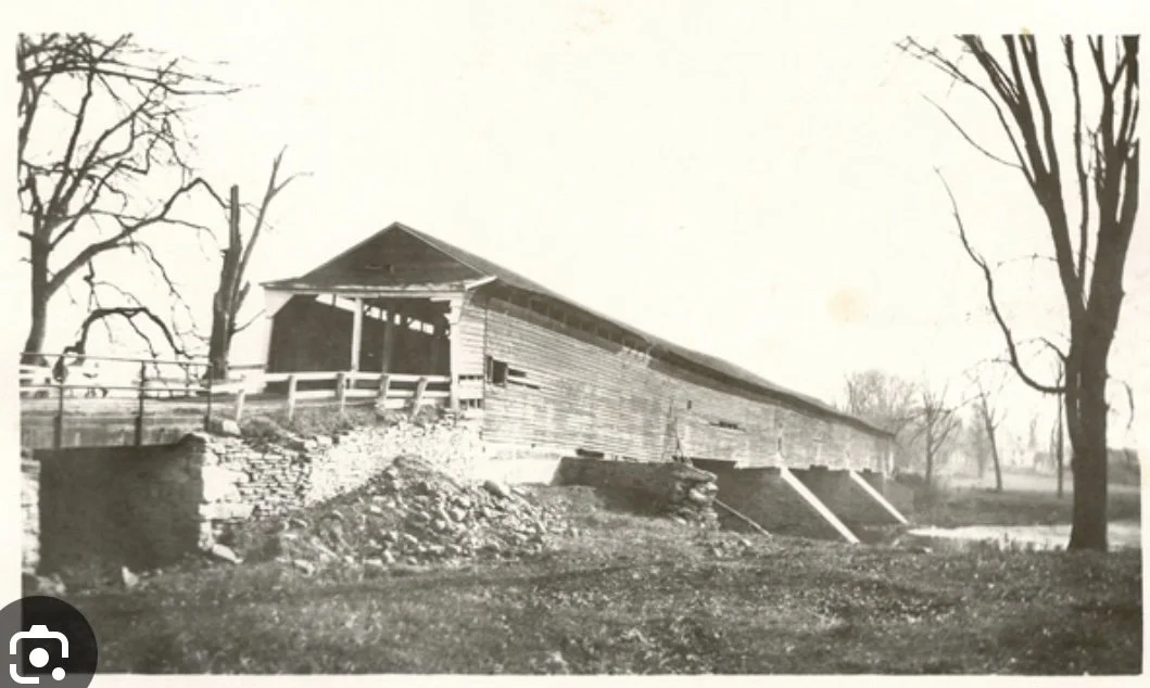
Fish House covered bridge looking south.
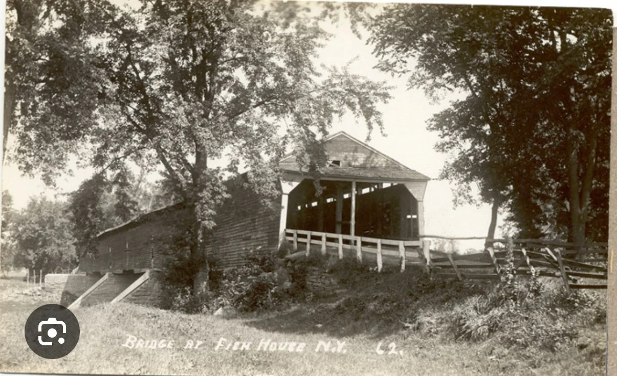
Fish House covered bridge looking north.
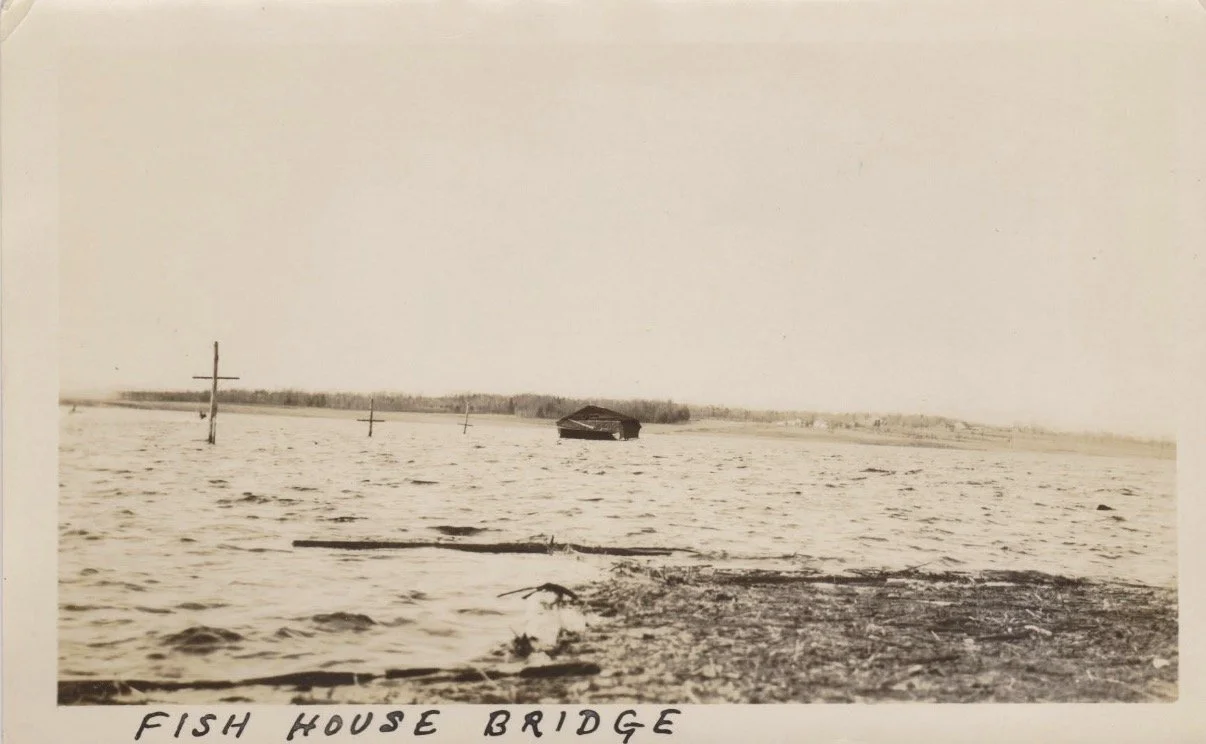
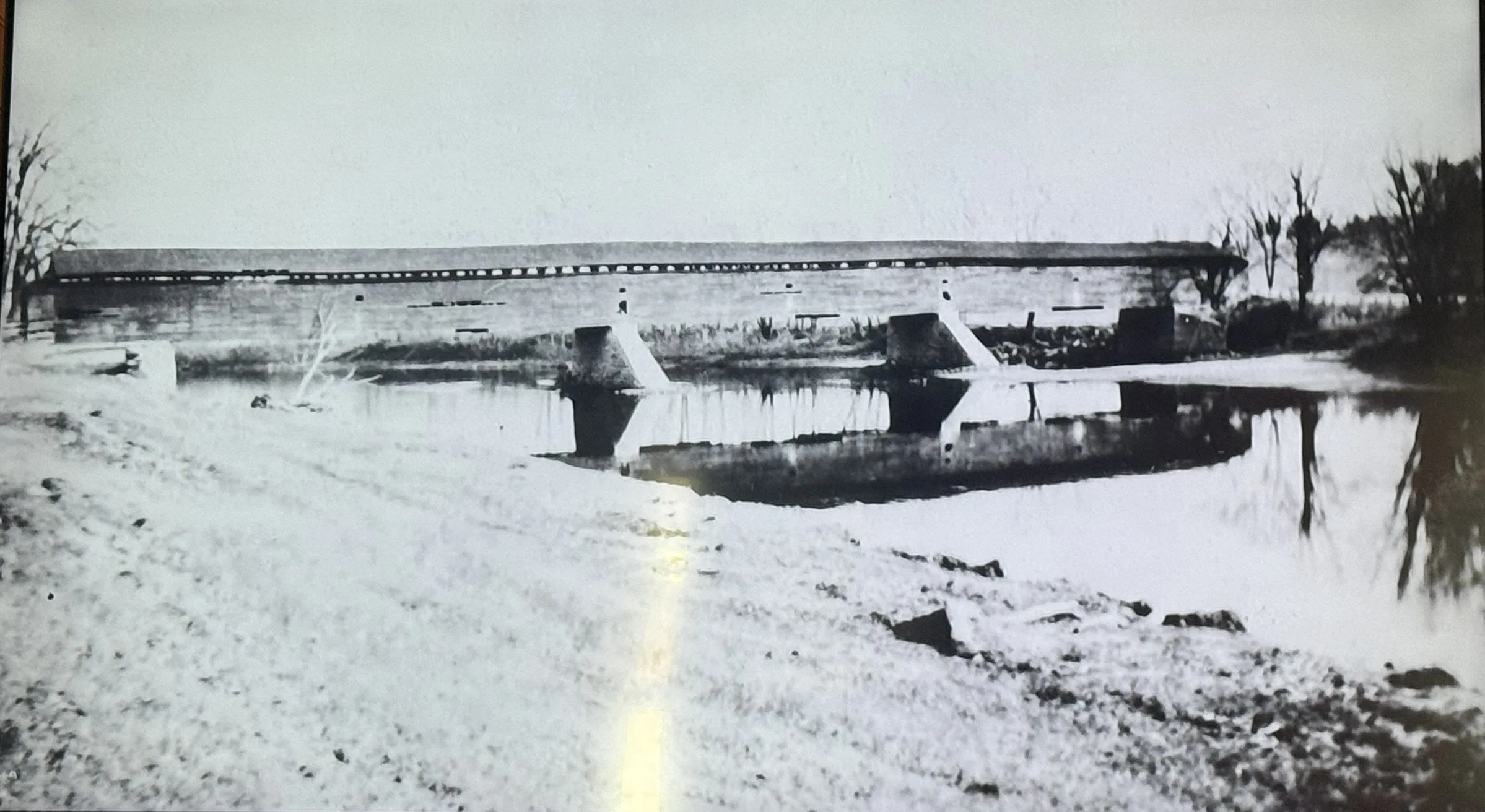
Fish House Covered Bridge looking northeast.
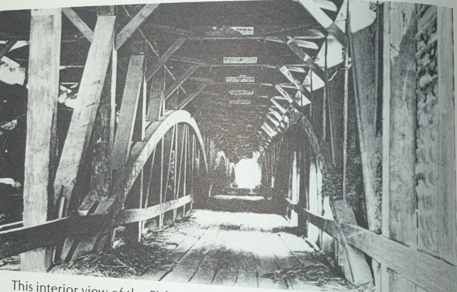
This interior view of the Fish House bridge shows the massive wooden beams used in it's construction. Shown as well are the huge, curved beams which stretched to distribute the weight of the bridge to it's pilings. This was a two lane bridge, divided in the center. On the overhead, horizontal supports were posted advertising signs.
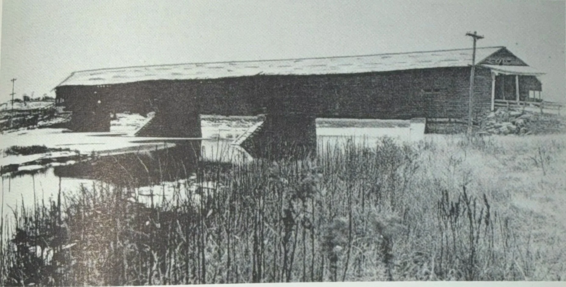
Notice the raised approaches to the Fish House bridge, in this photo, which permitted it's use during times of flooding of the Sacandaga River. However, nothing could save this pride of Northampton once the decision to flood the valley was made. In spite of efforts of the residents of Fish House to save it by attaching steel cables (with thoughts of floating it to a safe harbor) it succumbed to huge waves on April 23rd 1930. Parts of the bridge can be found in area museums.
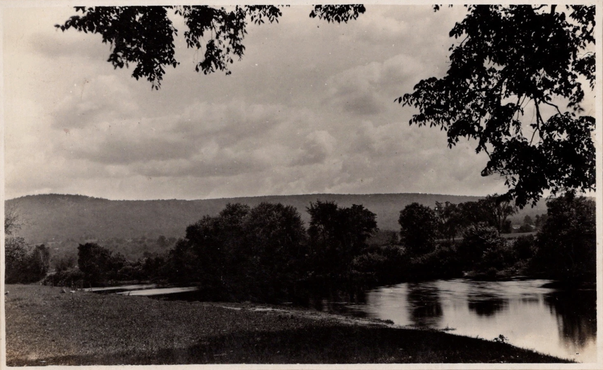
Pictured in 1913 just northeast of the Fish House bridge along the original Sacandaga River. This is located just south of present sinclair point.
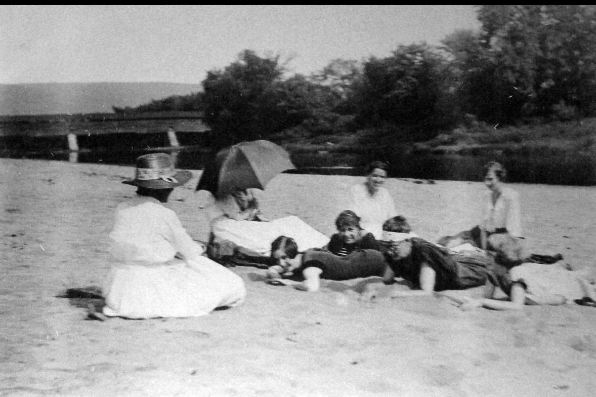
Photographed just southwest of the Fish House bridge along the shores of the Sacandaga River.
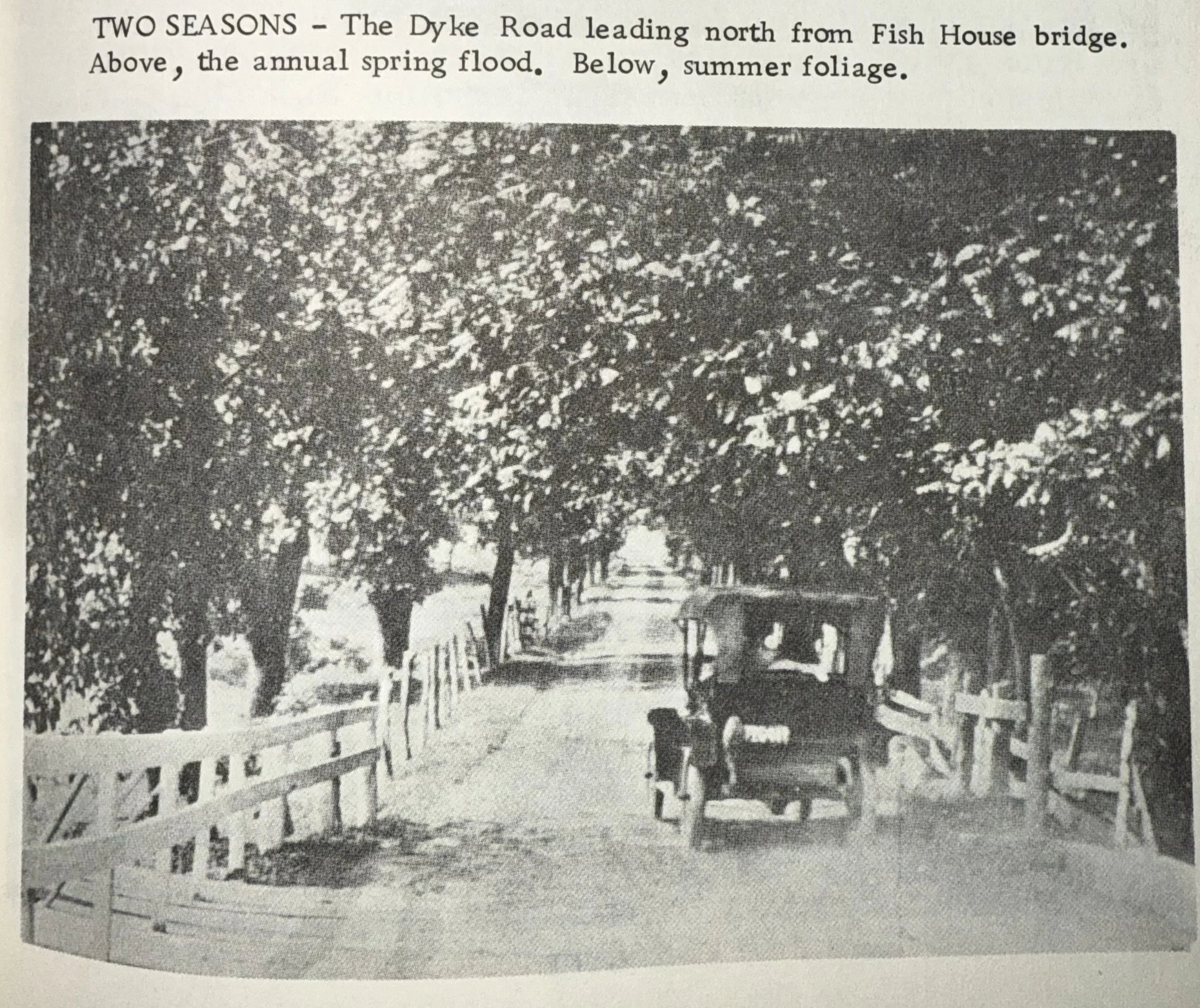
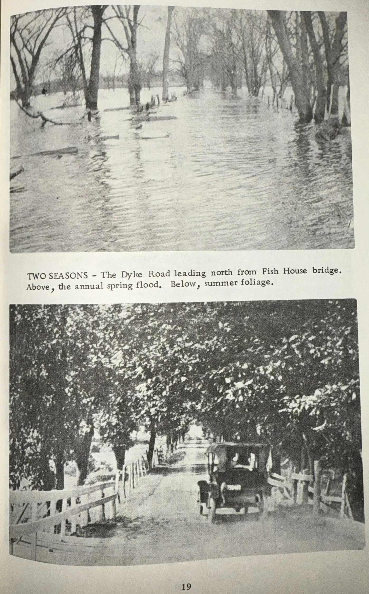
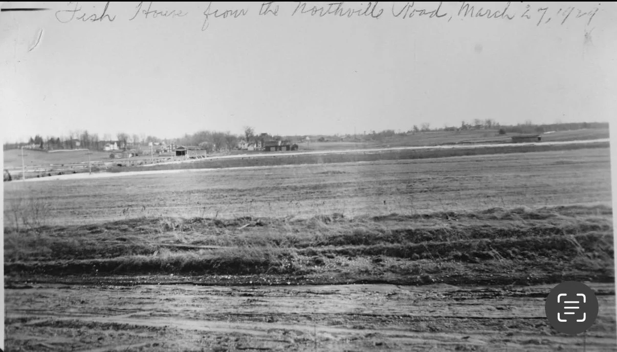
Mayfield Bridge at the Mayfield Spillway taken at the creation of the reservoir.
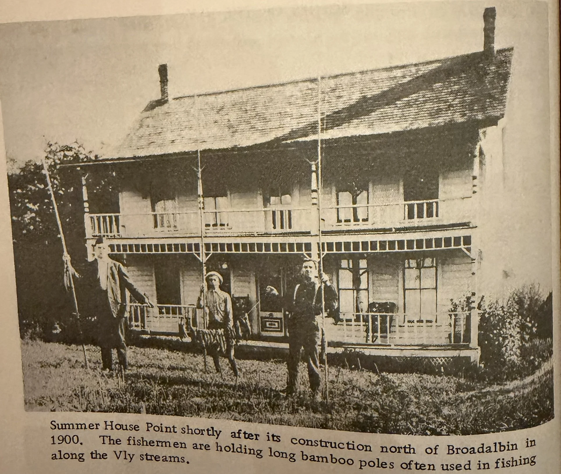
The mansion at Summer House Point owned and built by Sir William Johnson. This was located due west of Sand Island.
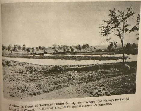
The view from the north of Summer House Point. Looking south east toward sand island.
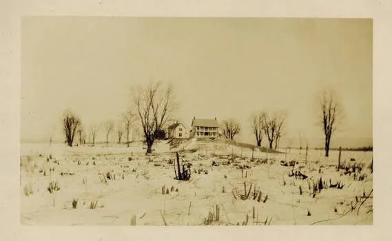
Summer House Point looking south due west of Sand Island.
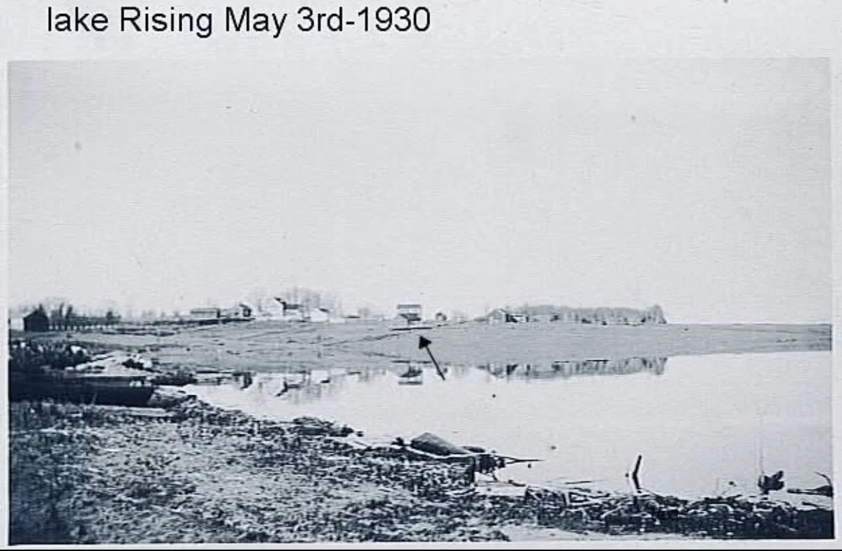
Fish House Bay south of Sinclair Point
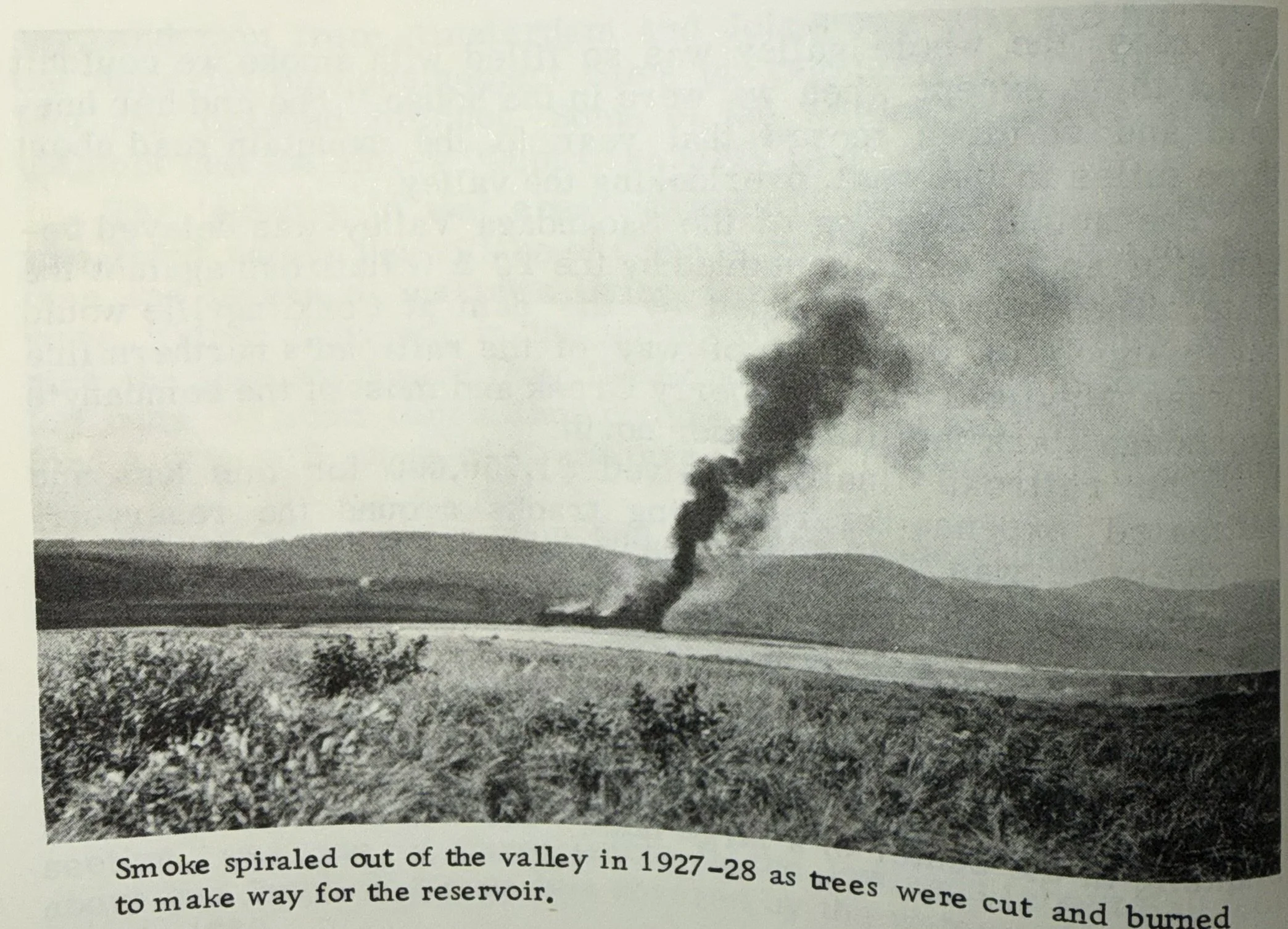
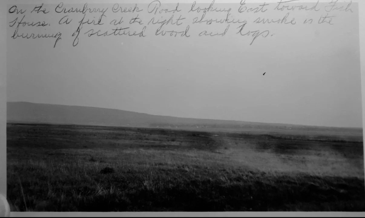
The Sacandaga Valley burning prior to being flooded. unknown location.
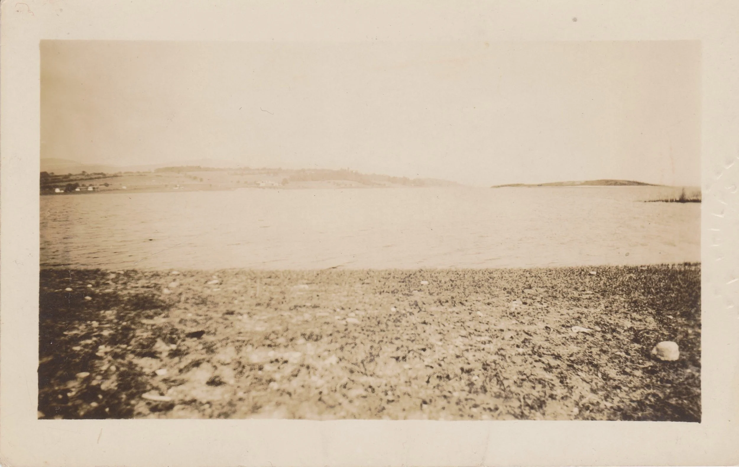
Taken from Vandenburg Point. Beacon Island can be seen on the right with the Close Family Farm on the left.
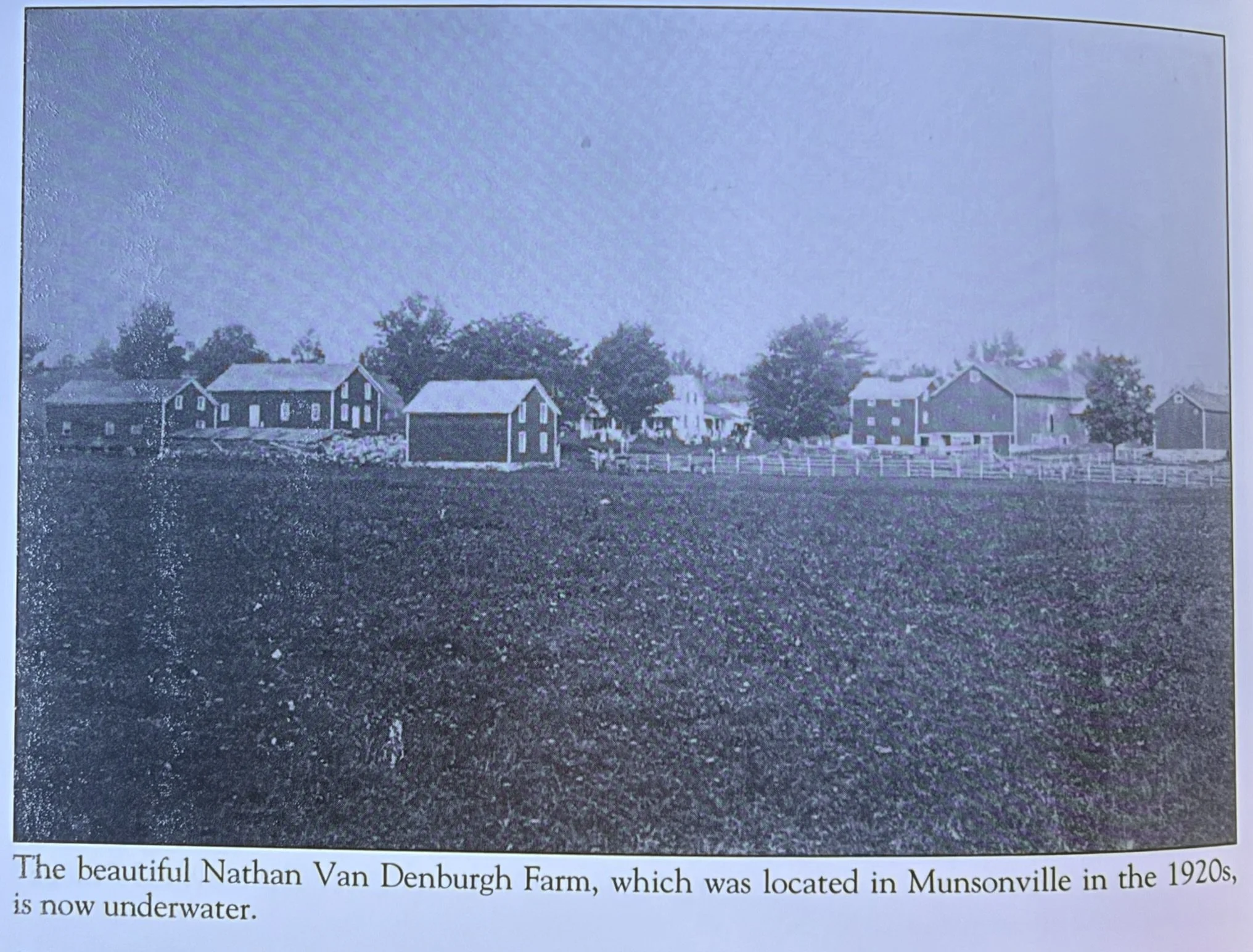
This farm was located where the current Wally's bay is in the south central part of the lake.
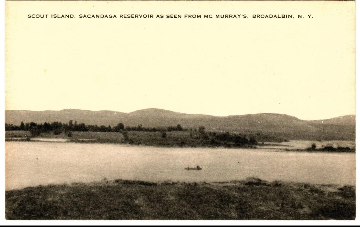
Scout Island in the 1940s. No trees back then.
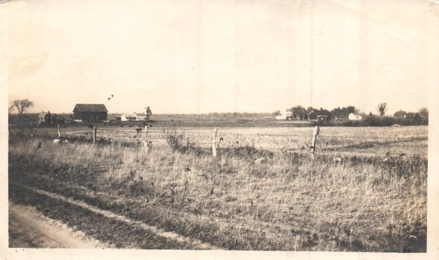
Located at the trap islands.
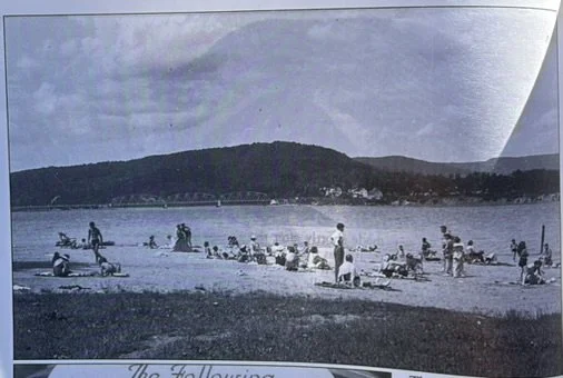
This photograph was taken in 1930 the year the reservoir was made. This beach is still present and is located on the grounds of Sport Island Pub
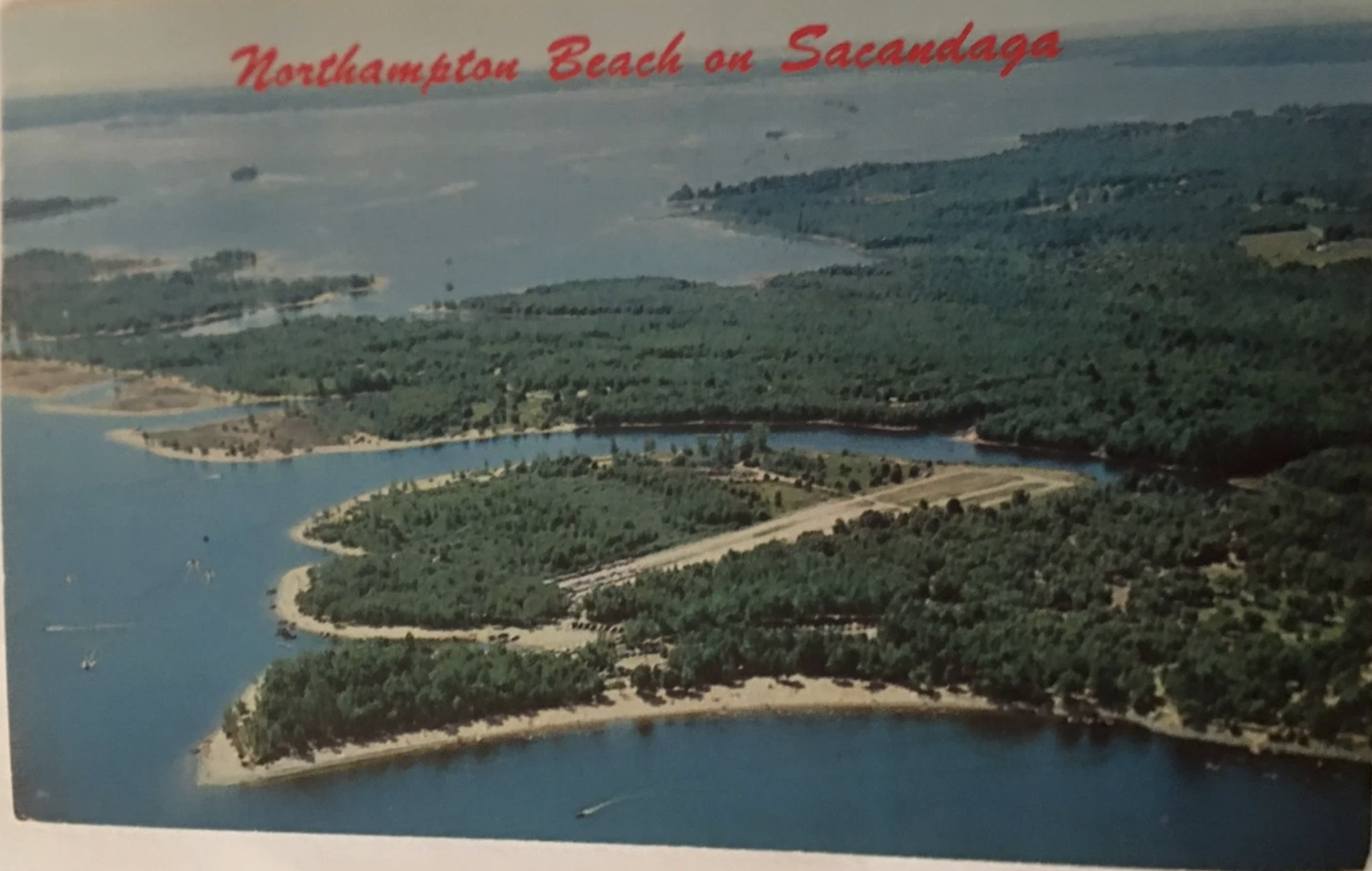
Northhampton Campground 1966
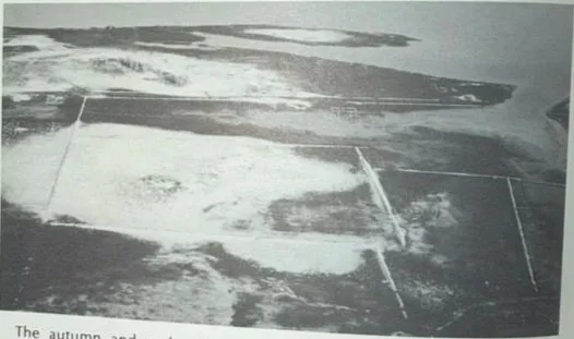
The former town of Osborn Bridge photographed in the late fall of 1991 when the water was unusually low. This located on the north side of Kenyon Island, south east of the Northhampton Campground.
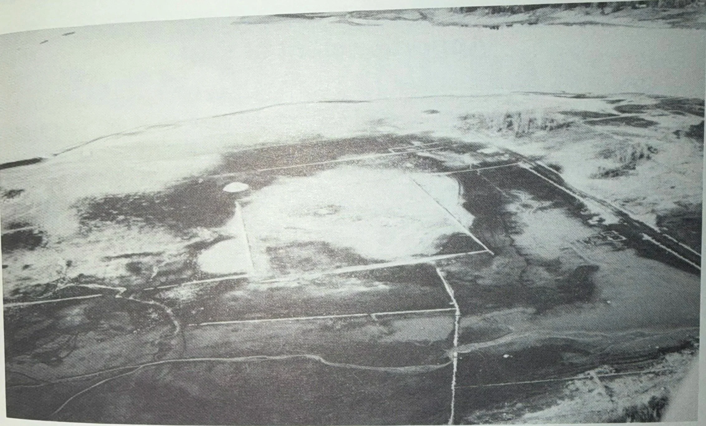
The former town of Osborn Bridge photographed in the late fall of 1991 when the water was unusually low. This located on the north side of Kenyon Island, south east of the Northhampton Campground.
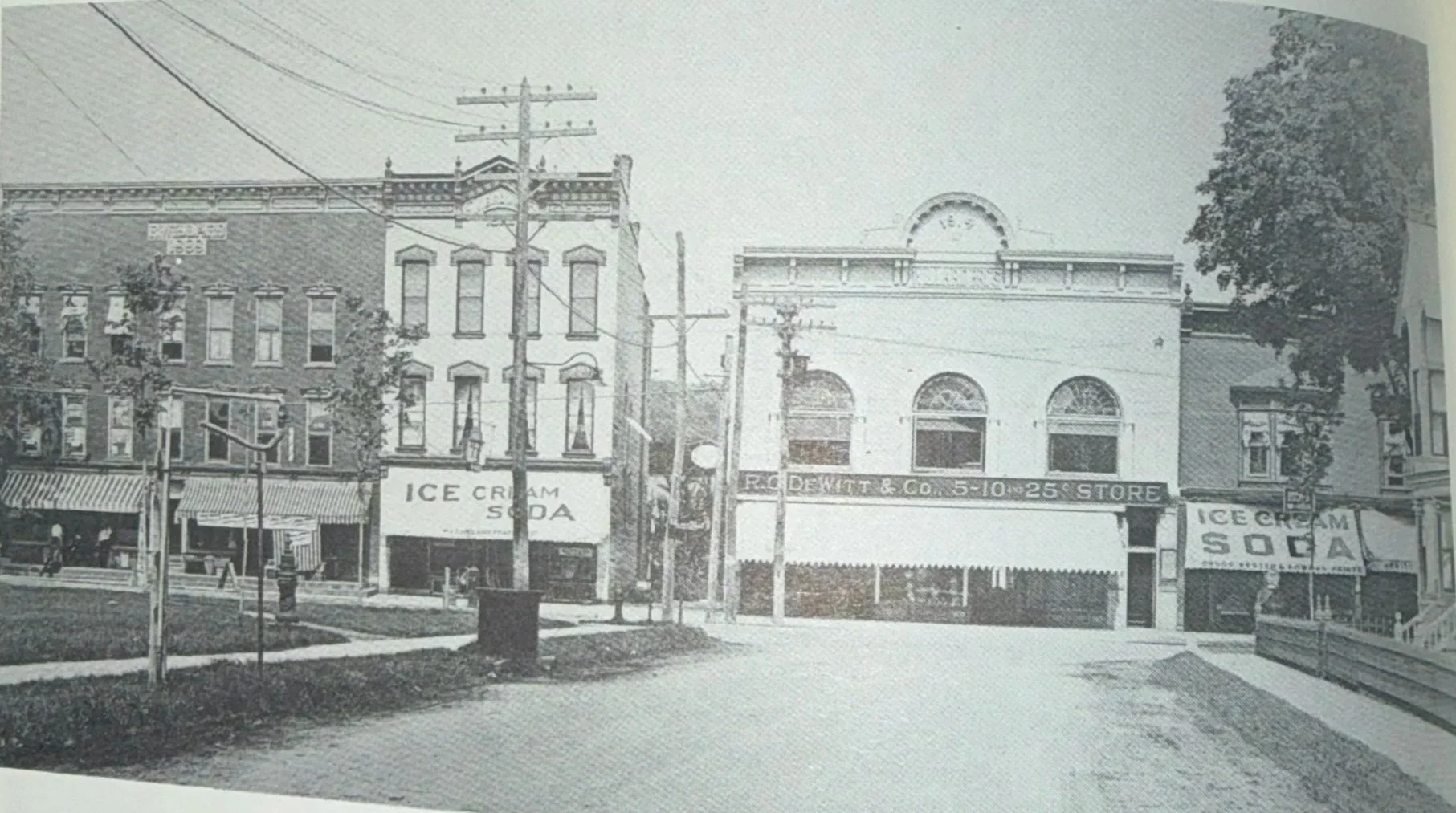
In the early part of this century the ice cream cone, soda and sundae played a very important role in the social scene. You took your date for ice cream on Saturday night and Dad took the family for ice cream on Sunday afternoon. In the above photo the DeWitt 54 & 10¢ store which probably sold ice cream) stands between the Copeland and Kested & Bowman drug stores which definitely sold ice cream to early residents of Northville

Edward Haynes Sargent was the designer and chief engineer of the Sacandaga Reservoir project. Originally appointed engineer to the Board of the Hudson River Regulating District in 1923, he was made chief engineer in 1924. Mr. Sargent held those titles until his death in 1954. His tombstone, in the Edinburg cemetery, is engraved with a rough outline of the 'reservoir'
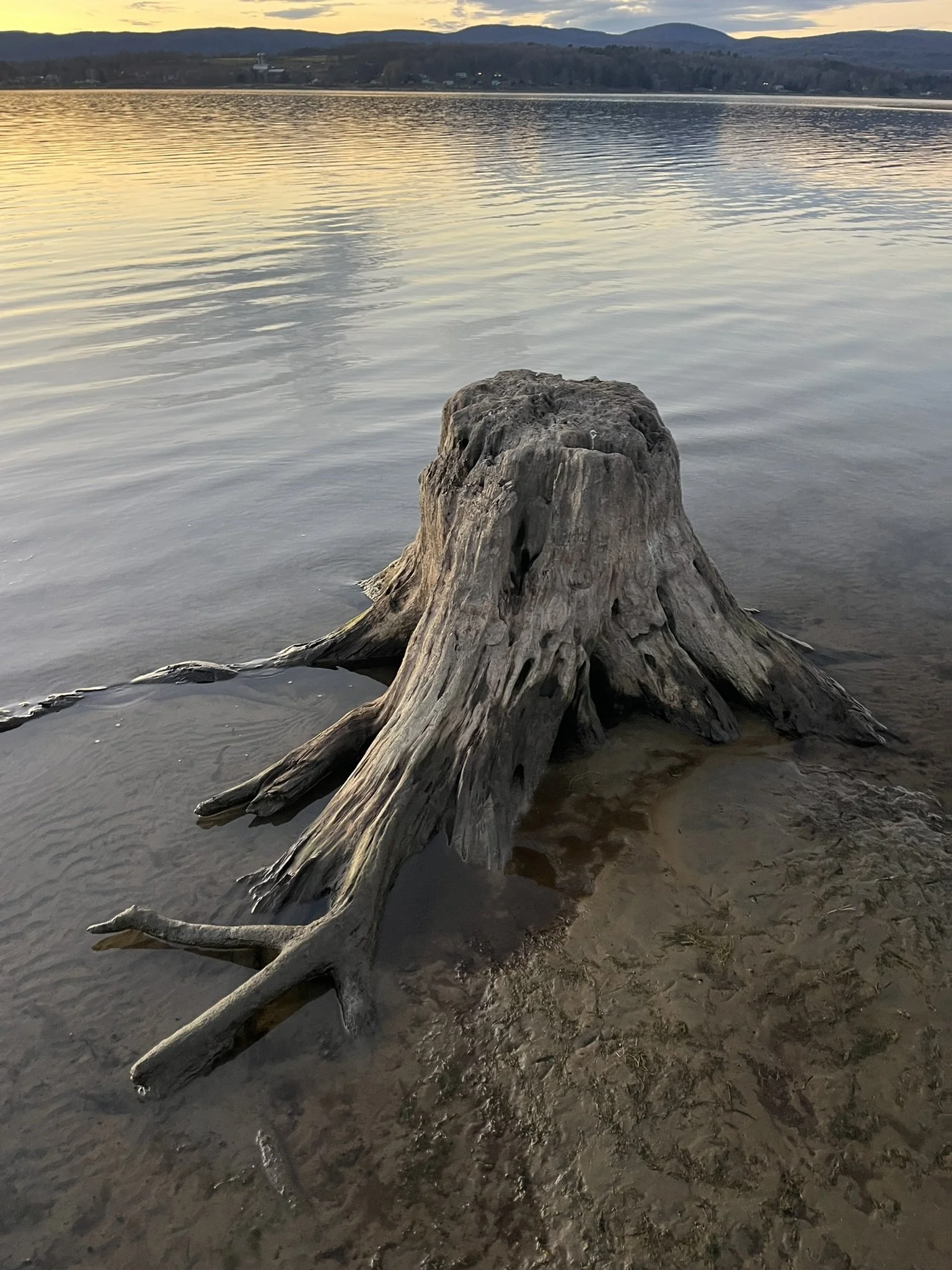
An old stump located on the trap islands, cut in 1929. this tree wouldve started growing in the late 1800s
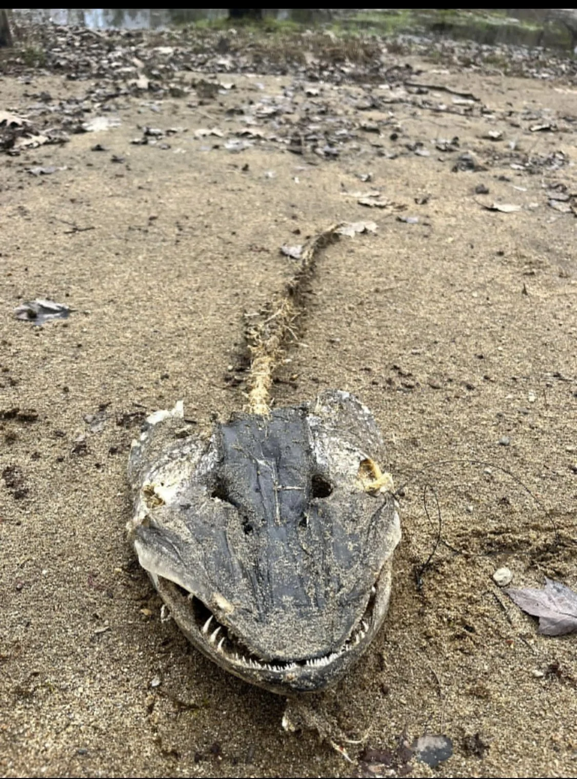
The famous head of what we believe was a 50" Pike. We had chased this fish for a whole spring and saw it chasing our lures. You can see the ice fishing hooks coming out of its mouth.